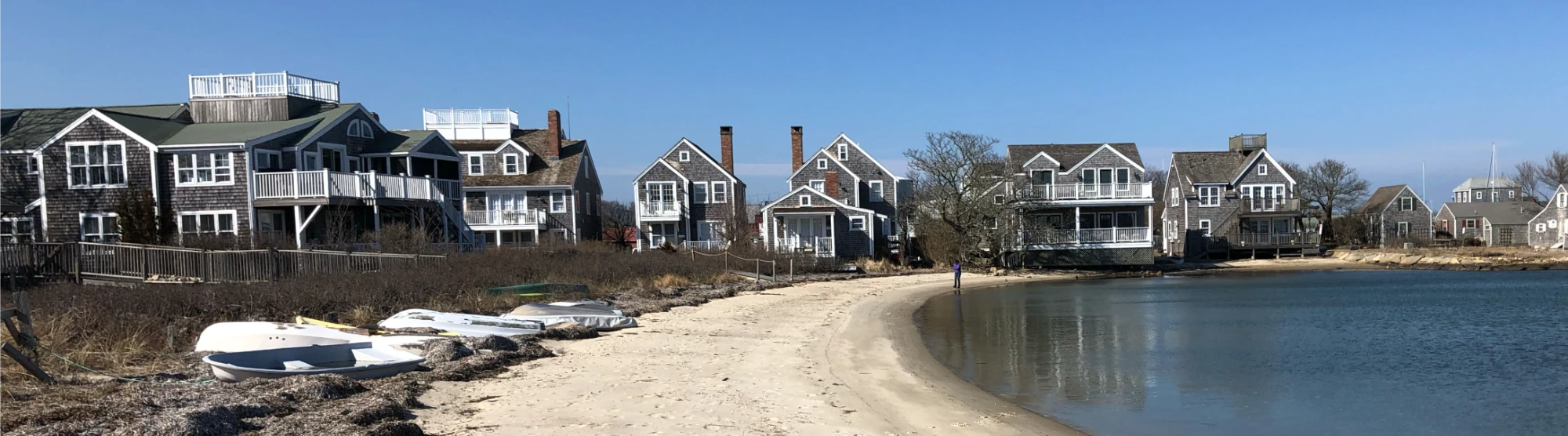
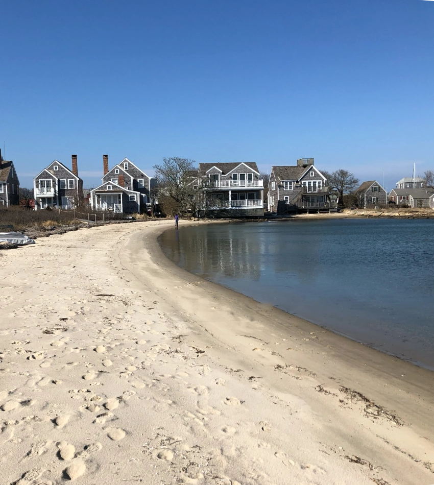
MyCoast: Massachusetts es un portal de la Oficina de Gestión de Zonas Costeras de Massachusetts destinado a recopilar y compartir fotografías y observaciones sobre inundaciones costeras, los efectos de las tormentas en la costa y la adaptación del litoral. Los informes de MyCoast contribuyen a aumentar la concienciación sobre los riesgos costeros y sirven de base para la gestión costera. Desplázate hacia abajo para ver los informes y descubrir cómo enviar los tuyos propios.
MyCoast: Massachusetts
Un proyecto de la Oficina de Gestión de la Zona Costera de Massachusetts

Cómo funciona

Añade tu foto o informe de «
»
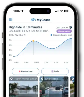
Haz la foto a través de nuestra aplicación móvil (más abajo) o envíala desde tu navegador cuando vuelvas al ordenador.

Recuperamos
Datos de fondo
Nuestros servidores recogen información meteorológica y sobre las mareas para añadir contexto a tu foto.

Su informe «
»
sirve de base para la toma de decisiones
Los líderes y las organizaciones de las zonas costeras pueden utilizar tus datos para tomar mejores decisiones.
Hasta la fecha, los participantes de Massachusetts han enviado 9.910 informes con 19.668 fotografías.
Herramientas de MyCoast en Massachusetts
Utiliza estos botones para ver las fotos que ya hay y subir las tuyas propias
¡Enviar fotos a
es muy fácil con la aplicación
MyCoast!

