Bristol County
Fairhaven, MA
(Nobska and Nakata roads)
Storm Report
Impacts Reported

User Submitted Data
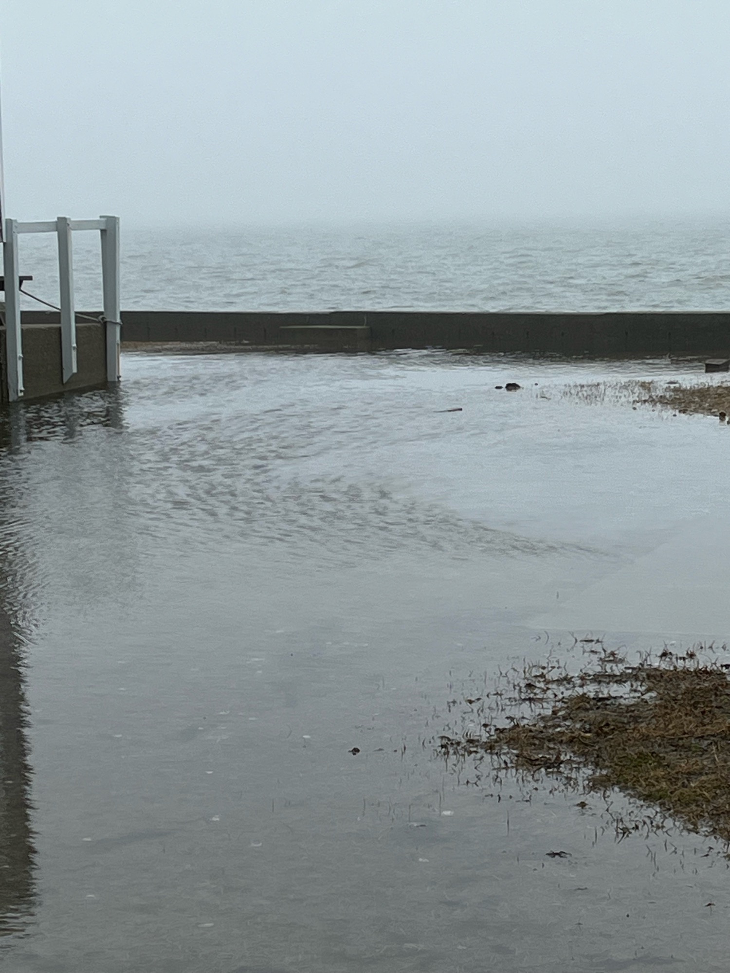
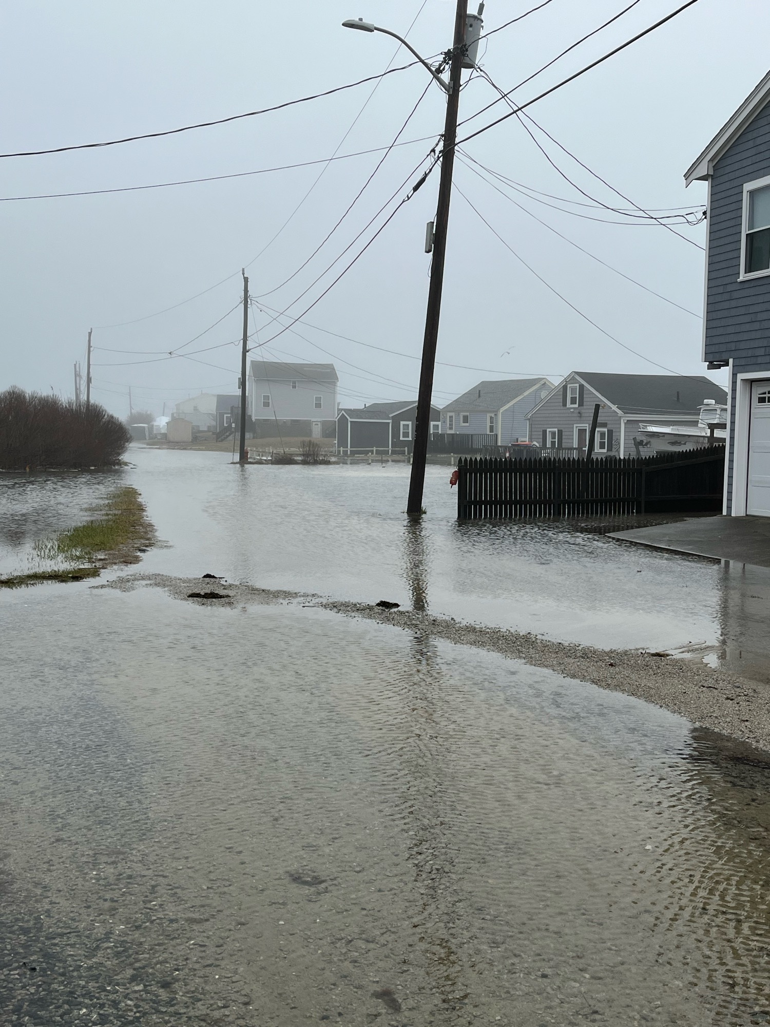
Roads
Street/Road: Nakata avenue
Specific Impacts:
- Impassable (flood water)
Marinas and Harbors
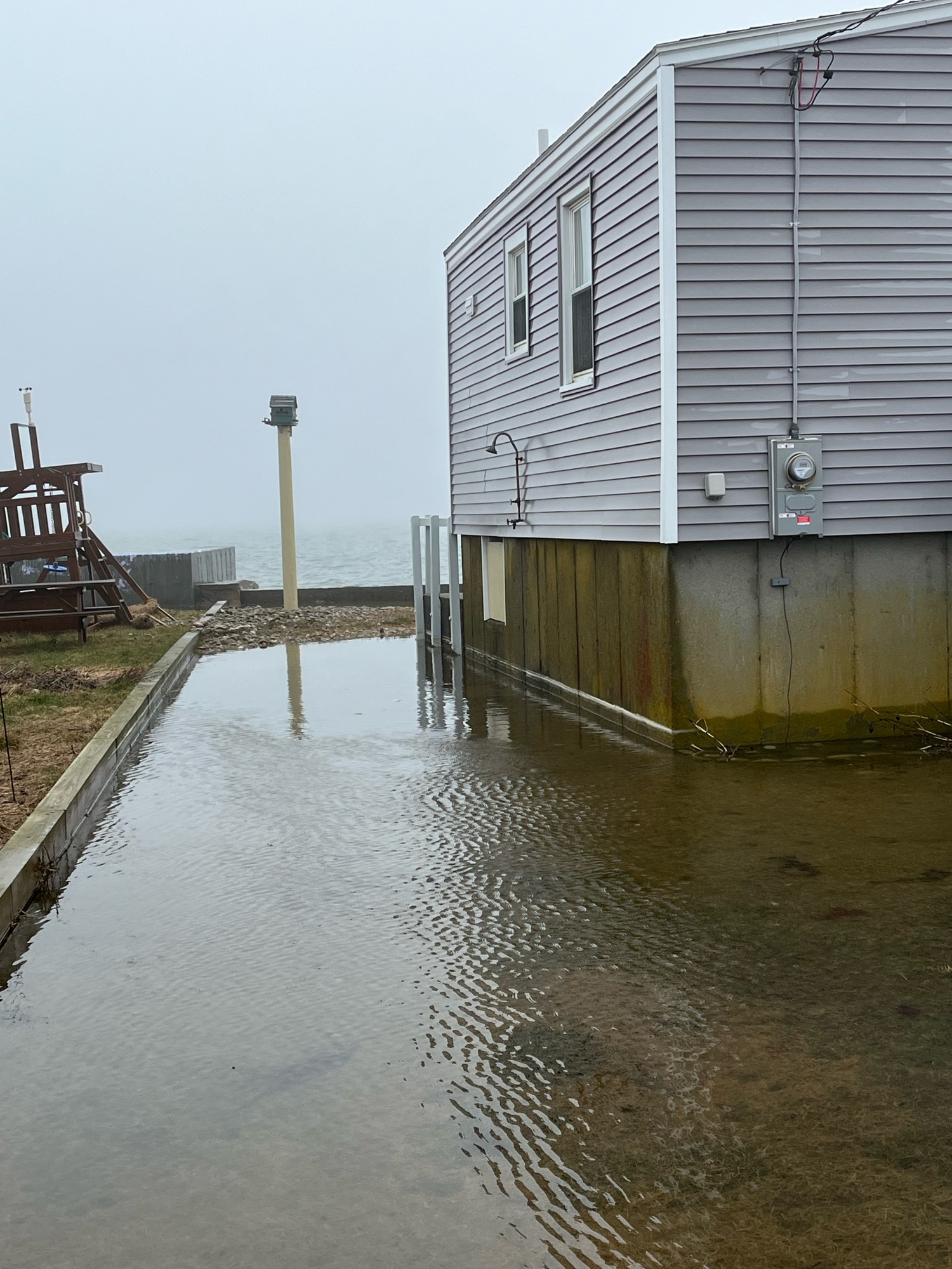
Buildings
Specific Impacts:
- Water flow around or under buildings
Hazardous Materials
Beach
Coastal Structures
Foot/Cycling Paths
Natural Resources
Current Response
Tidal Overview
![]() 0 hours 46 minutes after high tide
0 hours 46 minutes after high tide
Data from New Bedford Harbor, Marine Terminal (3.7 miles away)
Water Level (at time of report): 9:27 am, 5.3' MLLW
High Tide (Predicted): 8:44 am, 4.6' MLLW
High Tide (Observed): 9:48 am, 5.4' MLLW
Loading NOAA Tide Data…
■ Observed
■ Predicted water level
⬤ Report time
Weather Overview
Wind Speed: 9.8 MPH
Wind Direction: SW (220°)
Temperature: 49℉
Rainfall (Calendar Day): 0"
Rainfall (Past 24 Hours): 1.86"
You must be logged in to post a comment.