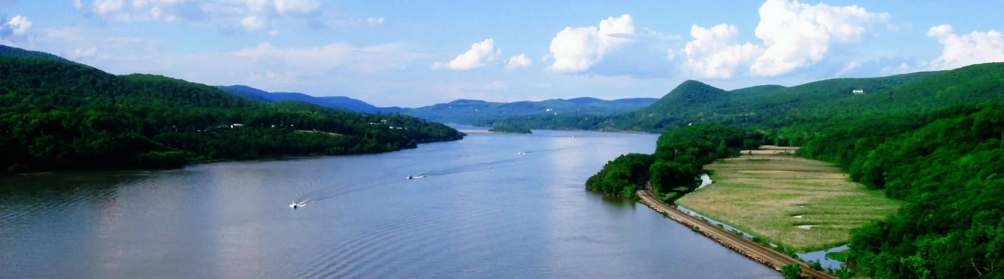
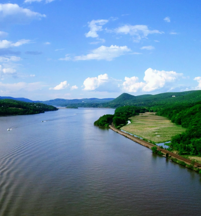
The MyCoast New York portal is used to collect and analyze photos of changing water levels, shorelines, and hazardous weather impacts across New York’s varied coasts and water bodies. Photos are linked to real-time environmental conditions to create reports that help stakeholders like government agencies, business owners, and residents understand our changing environment and make informed decisions.
MyCoast: New York
Help document New York’s changing water levels and weather impacts


How it Works

You Add Your
Picture or Report
Take your picture via our mobile app (below) or submit it via your browser when you get back to your computer.

We Fetch
Background Data
Our servers retrieve weather and tidal information to add context to your photo.

Your Report
Informs Decision
Coastal leaders and groups can use your data to make better decisions.
More Than Just the Coast
All New Yorkers are impacted by flooding and hazardous weather. Communities across New York State are encouraged to use MyCoast to document flood and storm events. Photos and photo reports submitted for non-coastal locations will be linked to the closest weather and river or lake gauge data.
To date, New York participants have submitted 3,474 reports with 8,050 photographs.
New York MyCoast Tools
Use these buttons to view existing photos and submit your own
Submitting Photos
is Simple with the
MyCoast App!


FAQs
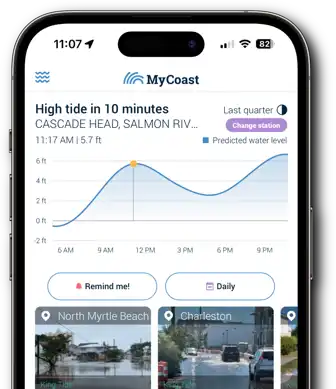
MyCoast New York (NY) is a web-portal and app that acts as a centralized resource for collecting and sharing locally sourced information about change to New York’s coasts and water bodies. Volunteers from across the state can upload photos and data through a suite of tools once they register. The data is publicly viewable and can be used by everyone for science, decision making, education, and storytelling. MyCoast automatically links the photo reports to environmental data from weather stations, tide gauges, river gauges, and lake levels to give the data context. MyCoast NY went live on July 1, 2022.
Community science projects actively involve community members in observation and scientific endeavors that can help their local community, help inform scientists, and inform management decisions or policy. MyCoast NY is an example of a contributory project model (Shirk et. al., 2012) because the primary role of members of the community is to contribute data.
- Weather: Visual Crossing
- Tidal gauge & lake level:NOAA Tides and Currents
- River gauge: USGS
Yes! We recognize that non-coastal areas are impacted by flooding and hazardous weather so we are testing whether MyCoast NY can be useful in documenting events for all New York communities during the 2-year pilot. Photos and photo reports submitted for inland locations in the Flood Watch and Storm Reporter apps will be linked to the closest weather and river or lake gauge data.
You must have a registered account with MyCoast to submit photo reports. There is an option to hide your name when submitting reports. MyCoast NY data managers will be able to see what photo reports are associated with your registered account, but it will not be available on the public site, and we will not share this information.
Once you submit a photo report it will be linked with environmental data and posted to the MyCoast NY website that is viewable to the public alongside your name, unless you choose to post it anonymously. From there, your photos may be viewed and used by others in a variety of ways. Your photo report will be part of the public domain.
Yes. If your photo has date/time/location data, MyCoast will automatically populate these fields. If not, you can manually enter these fields. It is best to upload with geolocation to ensure accuracy of data.
Yes! We encourage it. Suggested format for crediting MyCoast photos:
Credit: [Name/anonymous] via MyCoast NY
The best way to search for photo reports is from the Search Reports page on the website which is located at the top on the screen. Note that this feature works best on larger screens and there is no search reports function on the app at this time.
From the Search Reports page, use the filters on the left side of the screen to filter by Report Type (defaults to Flood Watch and Storm Reporter), County, Community, Date (the photo was taken), Reporter, Flooding Cause (user-generated field in Flood Watch), and Damage Reported (user-generated field in Storm Reporter). From here, open reports for more information or download the photos and/or data (more on that below).
Yes! This function is available on the Search Reports page. Once you’ve filtered the reports you want, select the yellow button: Download These Reports. On the next page, you will be prompted to download report data in a CSV or image data in a ZIP file. The names of MyCoast NY Reporters (aka registered users, volunteers) are removed from data downloads.
MyCoast NY is funded by New York State Water Resources Institute in partnership with the NYSDEC’s Great Lakes Watershed Program and Hudson River Estuary Program with support from the NYS Environmental Protection Fund, Long Island Sound Partnership, and grant funding through our FEMA Cooperating Technical Partnership and Sea Grant Marine Debris Challenge Grant.
Past funders include the U. S. Department of Commerce and the National Sea Grant Office [Federal Award ID # NA20OAR4170497]