Essex County
Salem, MA
(Commercial St/North River from North St Bridge)
Storm Report
Impacts Reported
User Submitted Data
Roads
Street/Road: Unspecified
Specific Impacts:
- Impassable (flood water)
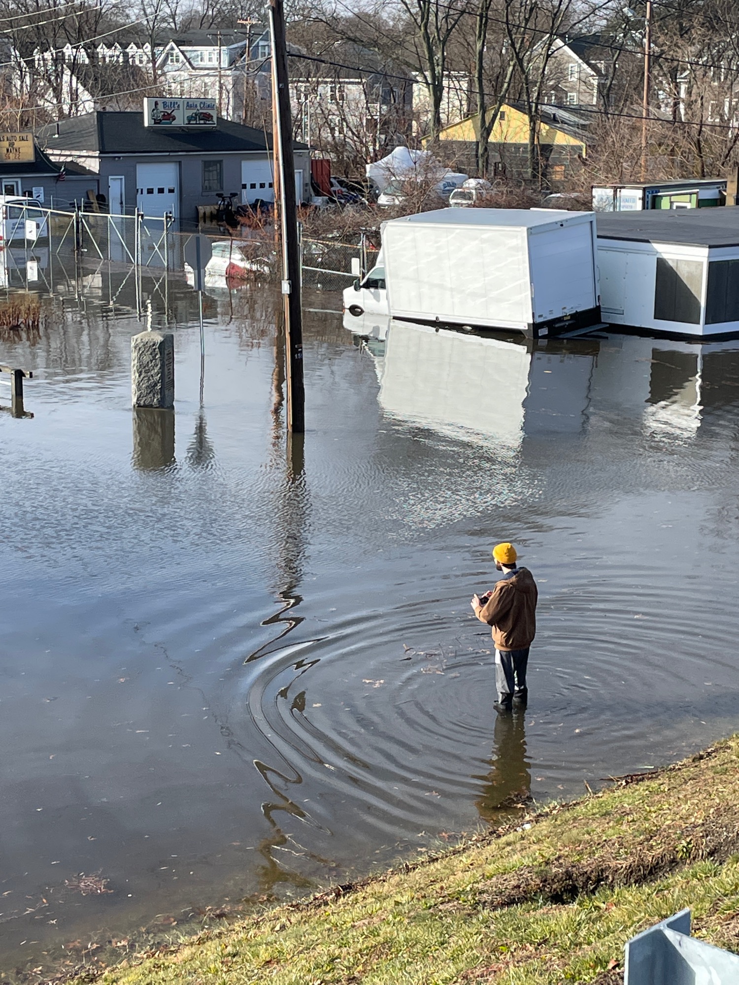
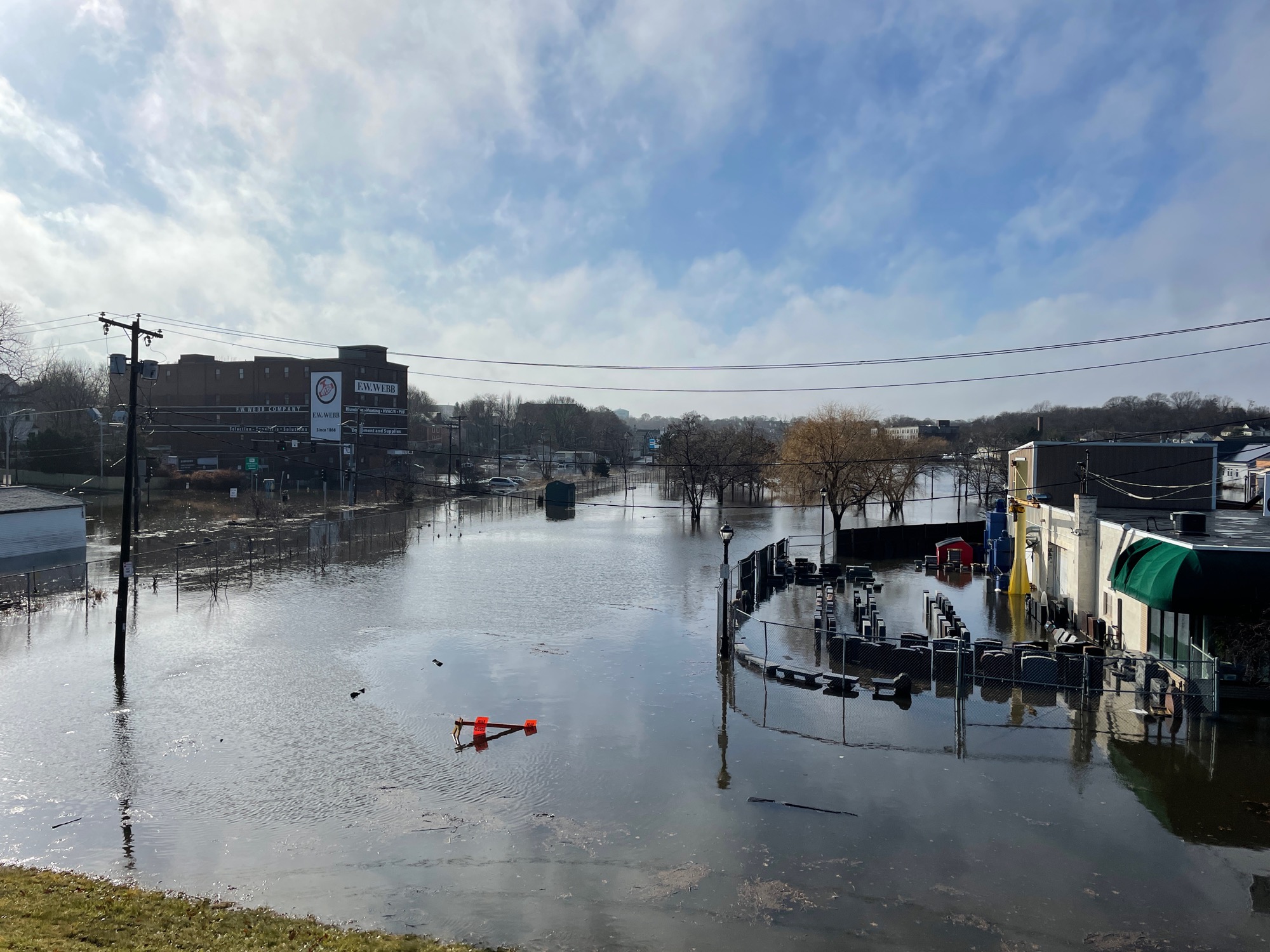
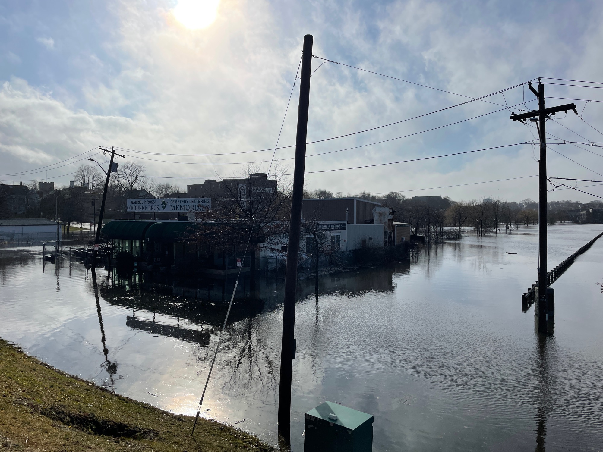
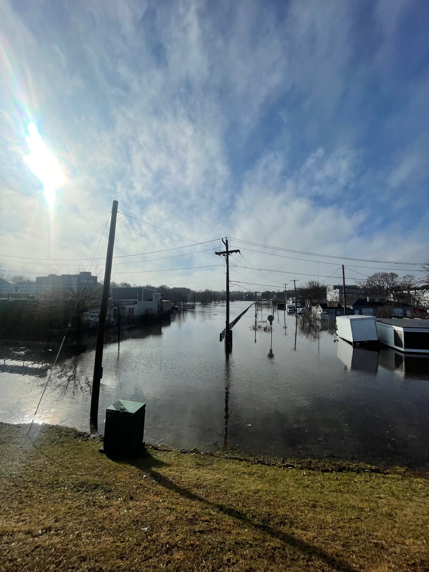
Comments: Commercial St completely flooded from North River. Several inundated vehicles
Marinas and Harbors
Buildings
Street: Commercial St
Specific Impacts:
- Water flow around or under buildings
Comments: Water flow around several commercial buildings
Hazardous Materials
Beach
Coastal Structures
Specific Impacts:
- Splashover
Foot/Cycling Paths
Natural Resources
Current Response
Tidal Overview
![]() 0 hours 33 minutes after high tide
0 hours 33 minutes after high tide
Data from Salem, Salem Harbor (1.2 miles away)
High Tide (Predicted): 12:15 pm, 11' MLLW
Loading NOAA Tide Data…
■ Observed
■ Predicted water level
⬤ Report time
Weather Overview
Wind Speed: 17.2 MPH
Wind Direction: SSW (200°)
Temperature: 55℉
Rainfall (Calendar Day): 0.449"
Rainfall (Past 24 Hours): 2.04"
You must be logged in to post a comment.