New Jersey MyCoast: New Jersey se utiliza para recopilar y analizar fotografías de fenómenos y lugares costeros. Las fotografías se vinculan con datos meteorológicos y sobre las mareas para elaborar informes que ayudan a las partes interesadas —como organismos públicos, empresarios y residentes— a comprender los cambios costeros y a tomar decisiones fundamentadas.
MyCoast: New Jersey
Ayúdanos a documentar los cambios en nuestra costa


Cómo funciona

Añade tu foto o informe de «
»
Haz la foto a través de nuestra aplicación móvil (más abajo) o envíala desde tu navegador cuando vuelvas al ordenador.

Recuperamos
Datos de fondo
Nuestros servidores recogen información meteorológica y sobre las mareas para añadir contexto a tu foto.

Su informe «
»
sirve de base para la toma de decisiones
Los líderes y las organizaciones de las zonas costeras pueden utilizar tus datos para tomar mejores decisiones.
Hasta la fecha, New Jersey han enviado 8.617 informes con 17.186 fotografías.
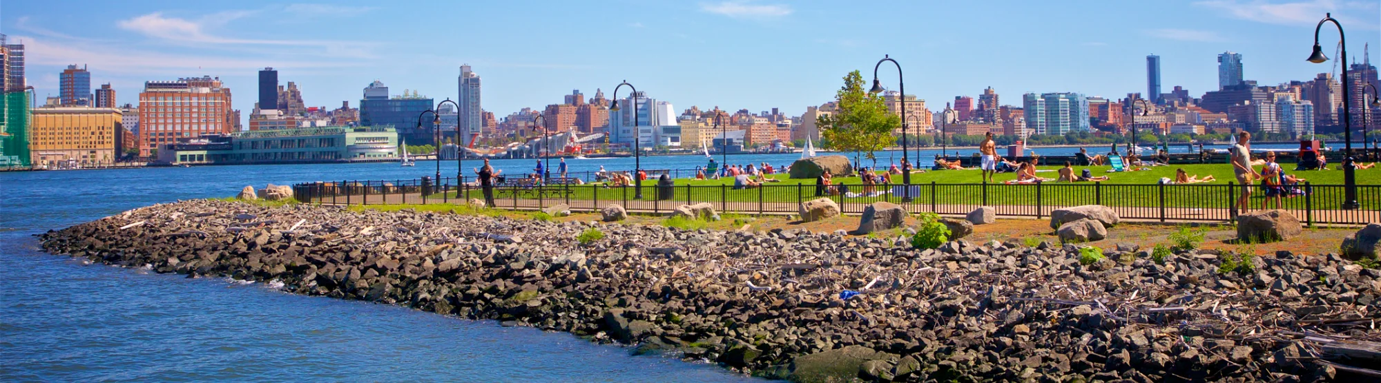
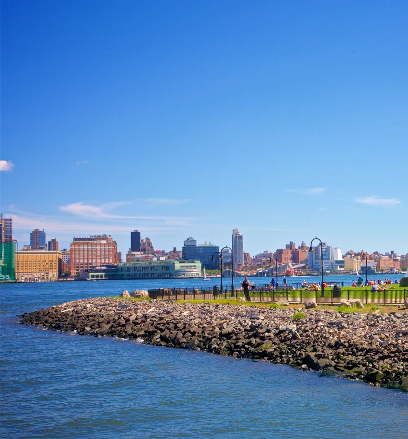
La costa New Jersey: ¡mucho más que la costa!
En New Jersey, nuestras aguas nos unen. Tanto si vives cerca de un arroyo, un río o una bahía, formas parte de la comunidad MyCoast.
Herramientas de New Jersey
Utiliza estos botones para ver las fotos que ya hay y subir las tuyas propias
High Water
Seguimiento de las inundaciones en todo el estadoConoce las mareas
Registro de los daños causados por las tormentasLugares que nos encantan
Documentar los lugares costeros que nos encantanPuntos de foto
Vigilancia comunitaria del litoralRising Together
Compartir historias sobre las inundaciones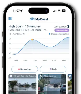
¡Enviar fotos a
es muy fácil con la aplicación
MyCoast!

