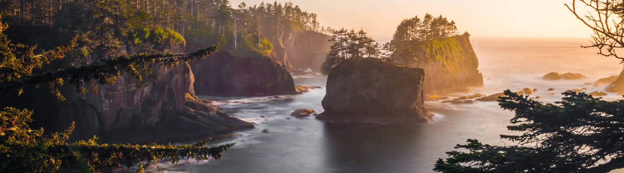
MyCoast: Washington is a Washington Department of Natural Resources collaboration with other project partners, including US Geological Survey, Washington Sea Grant, the Snohomish County Marine Resource Committee, and the Northwest Straits Commission. Information collected through this site is used to characterize beach change and the impact of nearshore hazards in order to enhance awareness among decision-makers and stakeholders.
MyCoast: Washington
A project of the Washington Department of Natural Resources


How it Works

You Add Your
Picture or Report
Take your picture via our mobile app (below) or submit it via your browser when you get back to your computer.

We Fetch
Background Data
Our servers retrieve weather and tidal information to add context to your photo.

Your Report
Informs Decision
Coastal leaders and groups can use your data to make better decisions.
To date, Washington participants have submitted 15,640 reports with 24,201 photographs.
Washington MyCoast Tools
Use these buttons to view existing photos and submit your own
Take a Beach Photo
Time-lapse photos of our beachesLarge Marine Debris
Capturing large marine debrisKing Tides
Tracking the highest tidesAbandoned Boats
Documenting forgotten vesselsMolt Search
Tracking invasive European green crabsCreosote
Documenting creosote debrisStorm Surge
Evaluating storm surge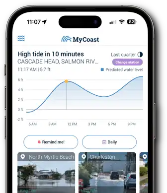
Submitting Photos
is Simple with the
MyCoast App!

