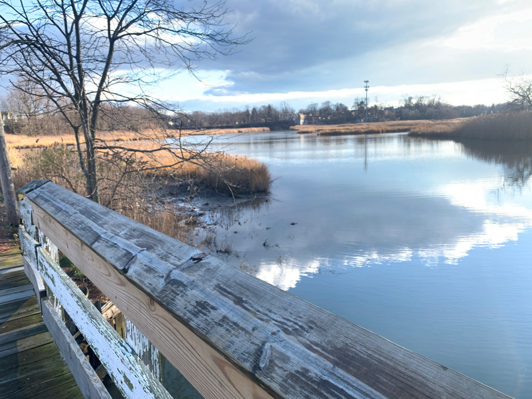
Data from Matawan Creek, Route 35 bridge (0.9 miles away) All heights shown relative to Mean Lower Low Water (MLLW): the daily low tide level averaged over a 19-year period.
High Tide (Predicted): 2:00 pm, 4.4'
■ Observed■ Predicted water level⬤ Report time
The accuracy of the predicted tides at the photo location may vary depending on distance from the nearest tide station and due to wind, rain, and other short-term meteorological events.
I’m noticing that your grid map of the Matawan Creek meadows between Aberdeen Road, Main Street, Ravine Drive, and Matawan Avenue greatly minimizes the typical standing water area. It also misrepresents the typical flow of the creek through that area. You might also want to identify the small portion of water leaving Lake Matawan into the meadows as re-forming as Gravelly Brook. I have a pre-Christmas photo of the juncture of the two creeks in among these photos. I would also note that Ravine Drive isn’t identified on your map. It is rather long, running from downtown Matawan at Main Street, past Lake Lefferts, past the Ravine Drive Elementary School, and Rose Hill Cemetery before reaching Aberdeen Road, Cross Road, and the Lawrence Harbor Parkway. I believe someone told me that you have no control over the base maps, so I just point this out for your information. Perhaps you can encourage the base map folks to modify the maps from time to time. Happy New Year.
1 Comment. Leave new
I’m noticing that your grid map of the Matawan Creek meadows between Aberdeen Road, Main Street, Ravine Drive, and Matawan Avenue greatly minimizes the typical standing water area. It also misrepresents the typical flow of the creek through that area. You might also want to identify the small portion of water leaving Lake Matawan into the meadows as re-forming as Gravelly Brook. I have a pre-Christmas photo of the juncture of the two creeks in among these photos. I would also note that Ravine Drive isn’t identified on your map. It is rather long, running from downtown Matawan at Main Street, past Lake Lefferts, past the Ravine Drive Elementary School, and Rose Hill Cemetery before reaching Aberdeen Road, Cross Road, and the Lawrence Harbor Parkway. I believe someone told me that you have no control over the base maps, so I just point this out for your information. Perhaps you can encourage the base map folks to modify the maps from time to time. Happy New Year.