New Jersey Photo Stations

About MyCoast: New Jersey Photo Stations

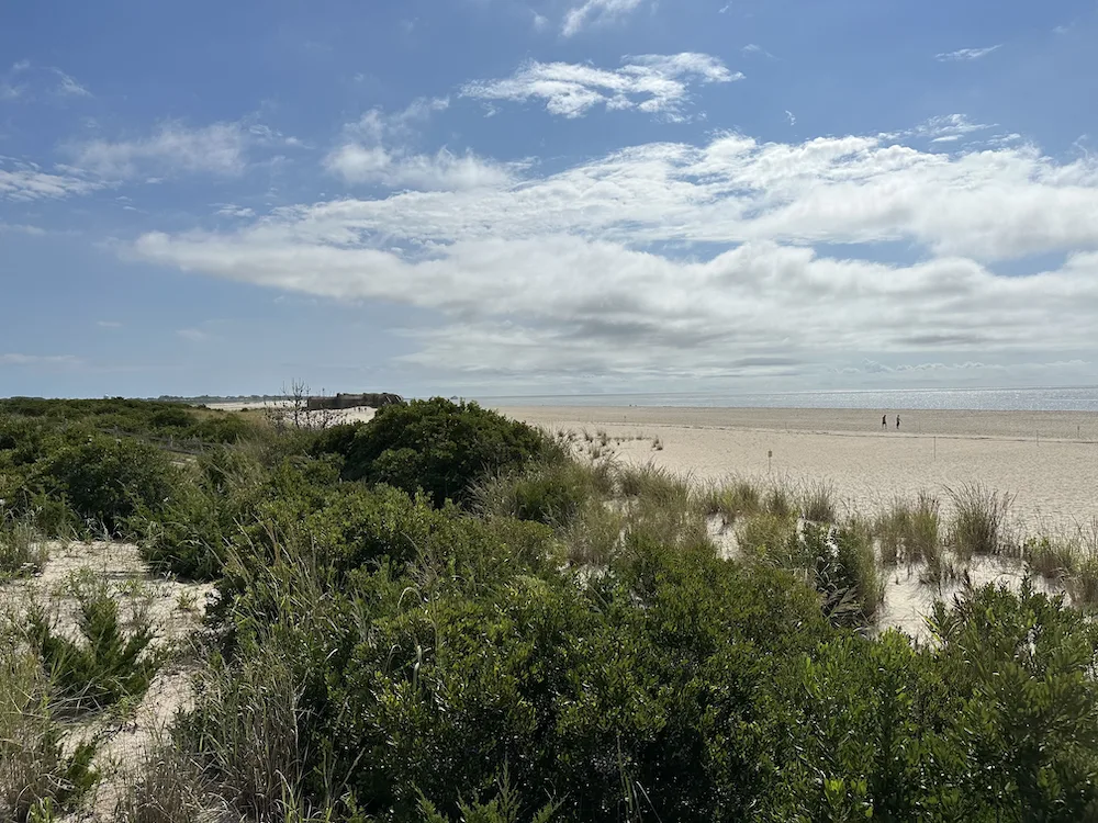
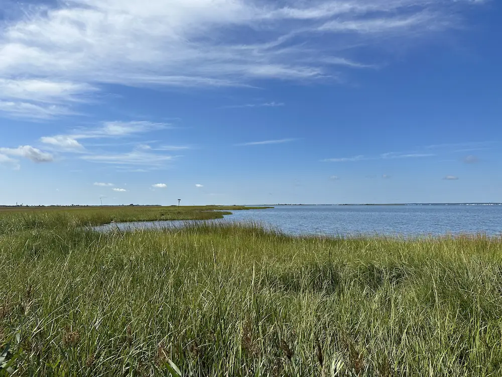
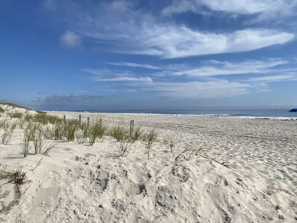
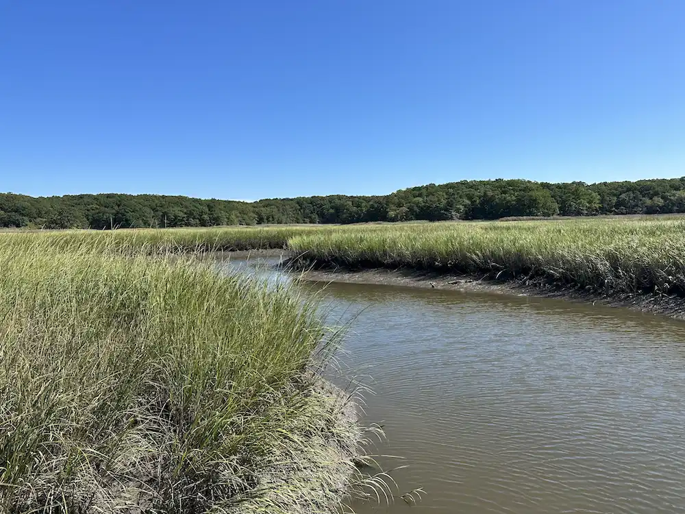
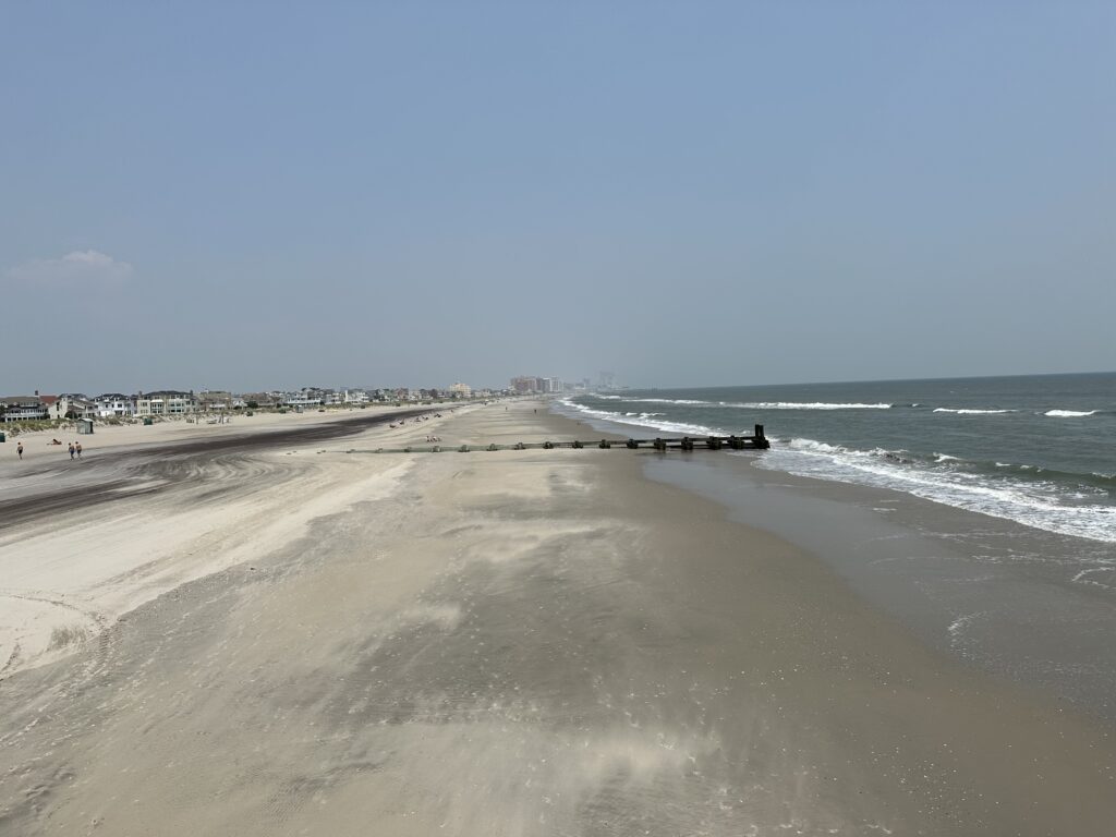
MyCoast: New Jersey Photo Stations are found in diverse locations along New Jersey’s coast, where shorelines are constantly changing due to tides, storms, and erosion. By using MyCoast, you are documenting important impacts to your community’s shoreline. Watch how it changes over time!

Upload your photo from one, or all, of MyCoast: New Jersey Photo Stations. MyCoast fetches background data on weather and tide levels to add context to your photo. Your photo helps us better understand our dynamic shorelines and manage our communities’ life on the coast.

Where to find MyCoast Photo Stations

From north to south, MyCoast Photo Stations can be found at these locations:
Or follow this Google Map

  • Liberty State Park – Cherry Tree Cove
    Address – 1 Audrey Zapp Drive, Jersey City, NJ 07305
    Directions – Exit 14B on the NJ Turnpike and follow the signs into the park. You may use parking lot 9 (Empty Sky Memorial) or 10 (Marina/Restaurants). Walk to Cherry Tree Cove (Area N) and find a photo station on the railing facing the NYC skyline.
  • Cheesequake State Park – Crabbing Bridge
    *Park entrance fees may in be in effect at this location*
    Address – 300 Gordon Road, Matawan, NJ 07747
    Directions – Exit 120 on the Garden State Parkway to Matawan Rd, turn right on Morristown Rd and another right onto Gordon Rd. Park entrance on the left. Access to the crabbing bridge is by a short boardwalk located near the Hooks Creek Lake Day Use Area parking lot, you will find a photo station on the left side of the bridge railing.
  • Island Beach State Park – Fisherman’s Walkway Trail (Oceanside)
    *Park entrance fees will in be in effect at this location, and may close at full capacity*
    Address – 2401 Central Ave, Seaside Park, NJ 08752
    Directions – Exit 82 on the Garden State Parkway to Route 37 east. Take Route 35 south to the park entrance. Drive approximately 5 miles to Parking Lot A-7. Fisherman’s Walkway Trail (0.3 miles) is a handicapped accessible boardwalk trail takes you towards the ocean. You will find a photo station on the left side at the end of the boardwalk.
  • Island Beach State Park, Seaside Park, NJ – Johnny Allen’s Cove Trail (Bayside)
    *Park entrance fees will be in effect at this location, and may close at full capacity*
    Address – 2401 Central Ave, Seaside Park, NJ 08752
    Directions – Exit 82 on the Garden State Parkway to Route 37 east. Take Route 35 south to the park entrance. Drive approximately 7 miles to Parking Lot A-16. The bayside trail starts across from the Interpretive Center and cuts through the thicket and freshwater wetland before it reaches Barnegat Bay, where you will find a photo station on the left side.
  • Margate City Fishing Pier, Margate City, NJ
    *Beach entrance fees may in be in effect at this location*
    Address – 121 S Exeter Ave, Margate City, NJ 08402
    Directions – Exit 36 on the Garden State Parkway, drive County Hwy 563 to continue onto E Mill Rd, over the toll bridge. Turn left on Ventnor Ave, turn right onto S Franklin Ave. Left on Atlantic Ave, first right onto S Exeter Ave. There is minimal parking in this area, it is best to find street parking nearby. Public access to the pier is located on the beach by walking up the stairs, the photo station is affixed to the pier railing.
  • Cape May Point State Park, Cape May, NJ – Western ADA Beach Entrance
    Address – 303 County Hwy 629, Cape May, NJ 08212
    Directions – Exit 0 on Garden State Parkway S, keep straight onto State Highway 109. Bear right onto Jackson St then keep straight to stay on W Perry St (County Hwy 633). Road name changes to Sunset Blvd (County Road 606). Turn left onto Light House Ave. Drive approximately 1 mile then turn left into Cape May Point State Park. The photo station is located on the ADA beach entrance next to the nature center.

*Please note that state parks are usually open from sunrise to sunset and may require a park fee to enter. Please check individual park information before planning your trip*

How Does it Work?

1. Scan the QR code on the sign or find your location at one of the options below.

2. Take a photo of the shoreline using the instructions on the phone holder.

3. Turn your photo into data by submitting your photo station report to MyCoast!

Select a Photo Station Location

Cape May Point State Park

Island Beach State Park: Johnny Allen’s Cove

Island Beach State Park: Fisherman’s Walkway

Cheesequake State Park

Liberty State Park

Margate City Pier