Atlantic County
Brigantine, NJ
High Water Report
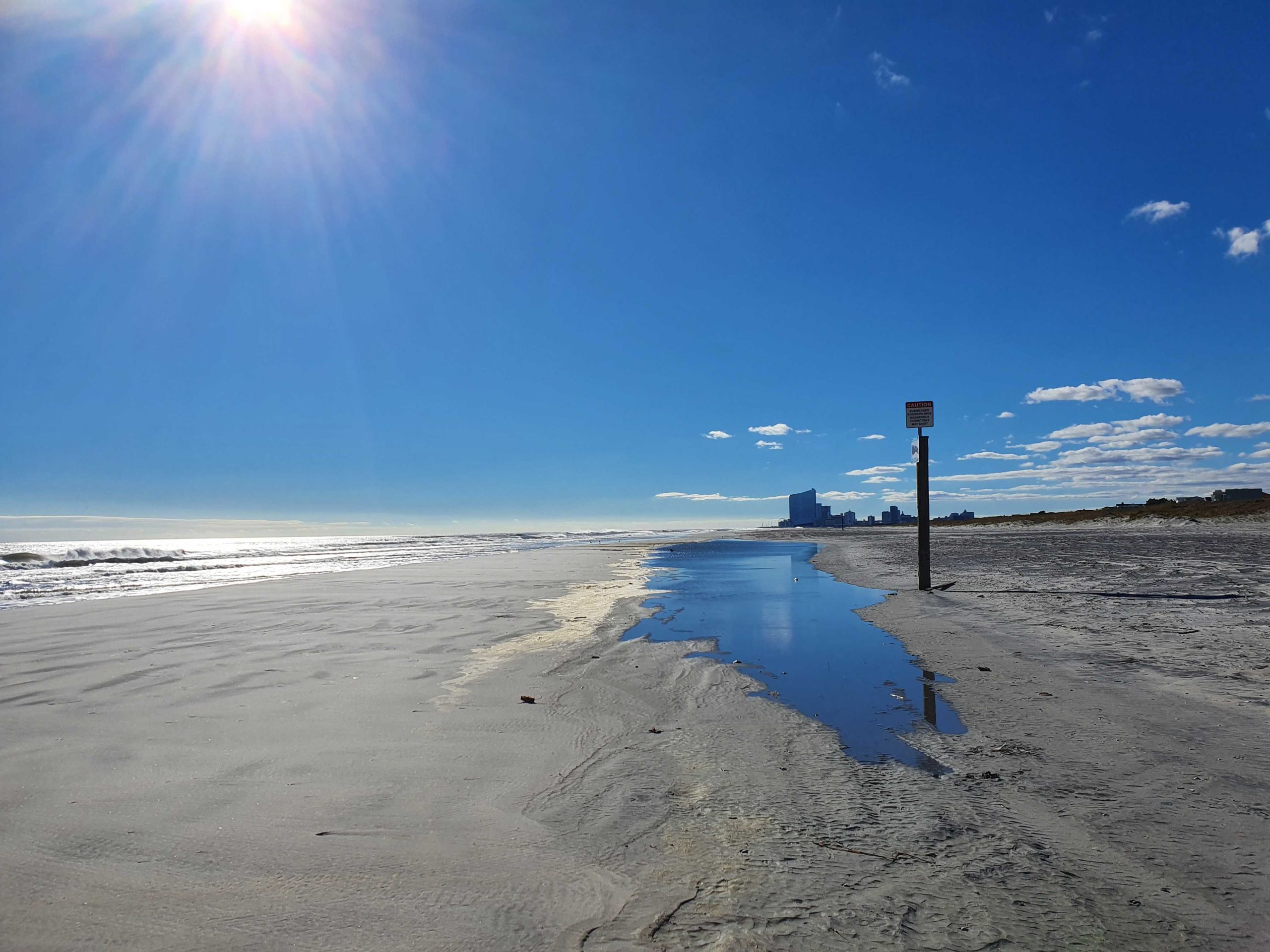
User Submitted Data
Source of Flooding:
- Ocean
Tidal Overview
![]() 0 hours 57 minutes after high tide
0 hours 57 minutes after high tide
Data from Brigantine Channel @ Hoffman Thorofare (2.7 miles away)
All heights shown relative to Mean Lower Low Water (MLLW): the daily low tide level averaged over a 19-year period.
High Tide (Predicted): 11:37 am, 4.5' MLLW
Loading NOAA Tide Data…
■ Observed
■ Predicted water level
⬤ Report time
The accuracy of the predicted tides at the photo location may vary depending on distance from the nearest tide station and due to wind, rain, and other short-term meteorological events.
Weather Overview
Wind Speed: 19 MPH
Wind Direction: NW (321°)
Temperature: 55℉
Rainfall (Calendar Day): 0"
Rainfall (Past 24 Hours): 0.48"
You must be logged in to post a comment.
King Tide