"This shows recess that flooded during a recent storm surge. The water is pushed up the creek, into this marsh, floods the basketball court and Lakeshore Drive. Superstorm Sandy and Irene flooded Greenwood Avenue as well, with storm waters churning the chain link fence of the first house on Greenwood from wave action in Sandy. The salt water fills the forest between Greenwood and the gazebo killing the trees."
Photo Tag:
River
Marsh
Forest
Recreation
10/17/2022 | 3:20 pm
Tidal Overview
1 hours 21 minutes after high tide
Data from Matawan Creek, Route 35 bridge (1.2 miles away) All heights shown relative to Mean Lower Low Water (MLLW): the daily low tide level averaged over a 19-year period.
High Tide (Predicted): 1:59 pm, 4.8' MLLW
■ Observed■ Predicted water level⬤ Report time
The accuracy of the predicted tides at the photo location may vary depending on distance from the nearest tide station and due to wind, rain, and other short-term meteorological events.
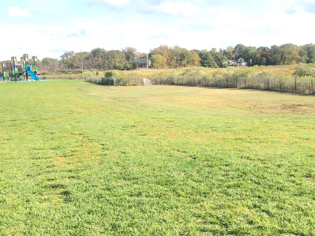
"This shows recess that flooded during a recent storm surge. The water is pushed up the creek, into this marsh, floods the basketball court and Lakeshore Drive. Superstorm Sandy and Irene flooded Greenwood Avenue as well, with storm waters churning the chain link fence of the first house on Greenwood from wave action in Sandy. The salt water fills the forest between Greenwood and the gazebo killing the trees."