
Westerly, RI
Misquamicut

Storm Reporter Report
Damage Reported
User Submitted Data
Roads
Street/Road: Unspecified
Marinas and Harbors
Buildings
Hazardous Materials
Beach
Imapacts Reported: Y
Coastal Structures
Specific Damage:
- Damaged stairs/walkovers
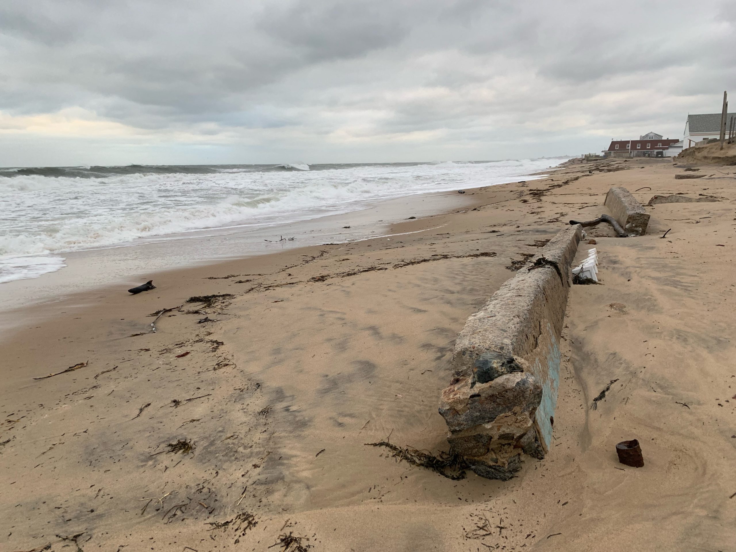
- Leaning bulkheads/seawalls
- Collapsed bulkheads/seawalls
Foot/Cycling Paths
Natural Resources
Specific Damage:
- Damaged sand fencing
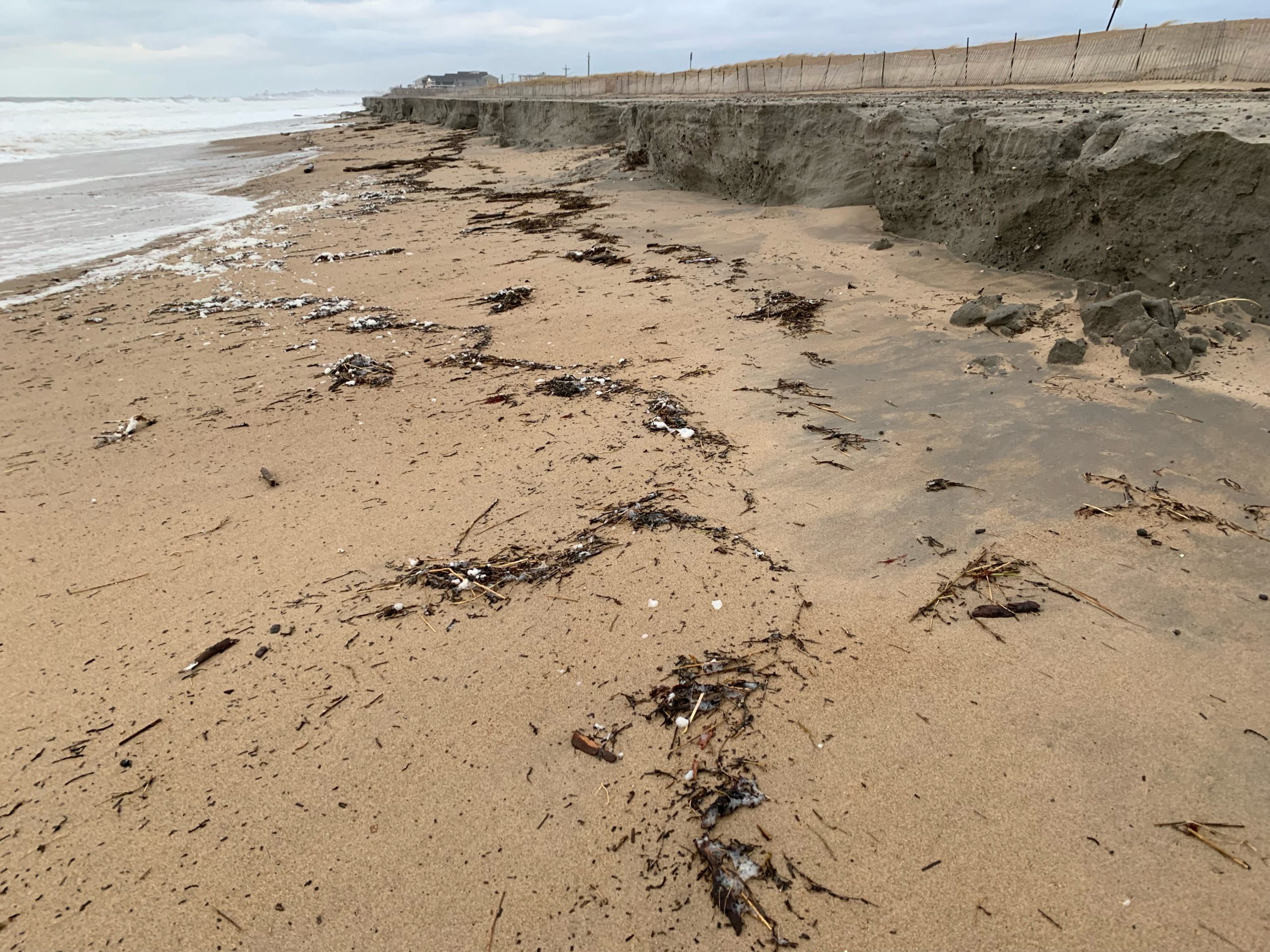
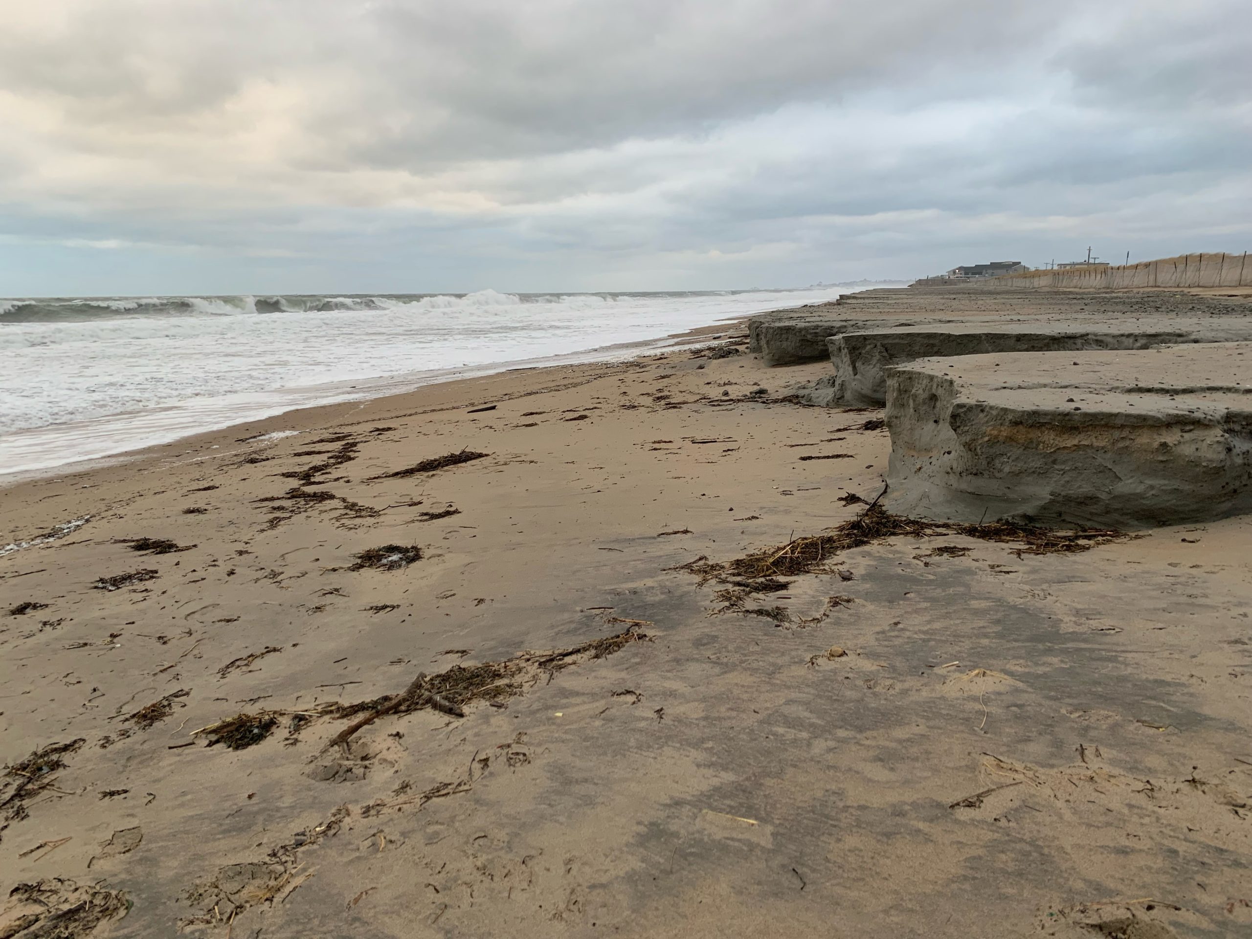
- Eroded beach
- Eroded dune
- Overwashed beach/dune
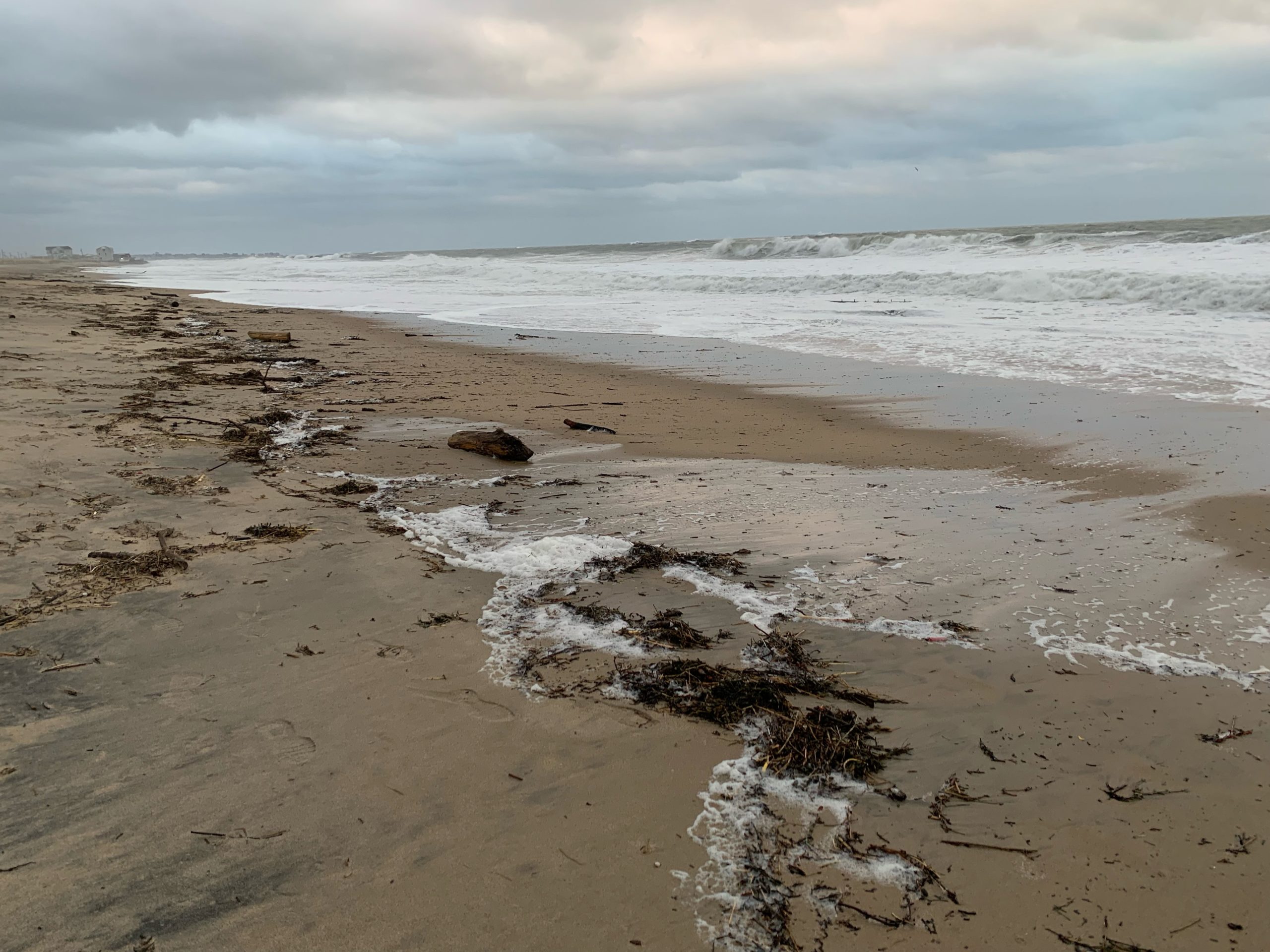
Comments: Beach and dune scour, lots of debris on the beach, rising afternoon tide
Current Response
Tidal Overview
 3 hours 48 minutes before high tide
Data from NEW LONDON, State Pier (15.9 miles away)
Water Level (at time of report): 4:18 pm, 1.4' MLLW
High Tide (Predicted): 9:22 pm, 2.1' MLLW
High Tide (Observed): 9:24 pm, 3' MLLW
Loading NOAA Tide Data…
■ Observed
■ Predicted water level
⬤ Report time
Weather Overview
Wind Speed: 17.4 MPH
Wind Direction: SW (230°)
Temperature: 39℉
Rainfall (Calendar Day): 0"
Rainfall (Past 24 Hours): 0.72"
You must be logged in to post a comment.