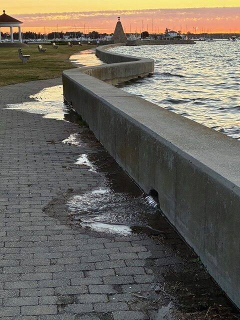
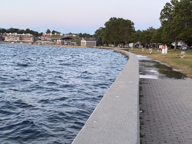
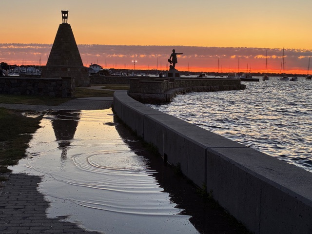
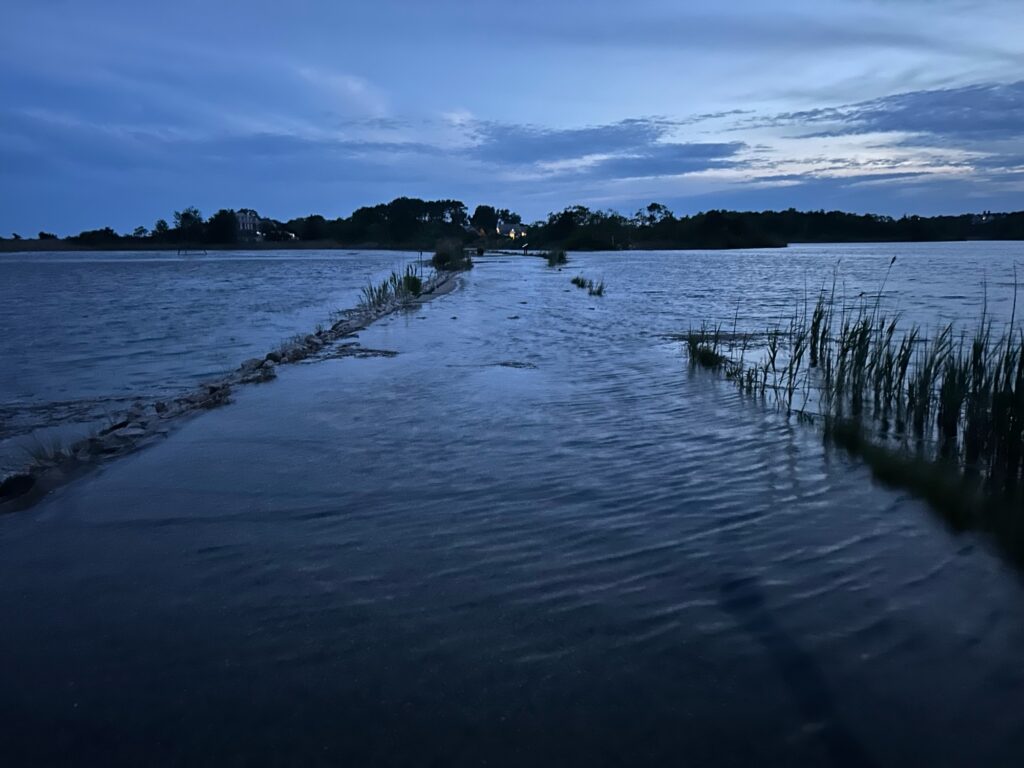
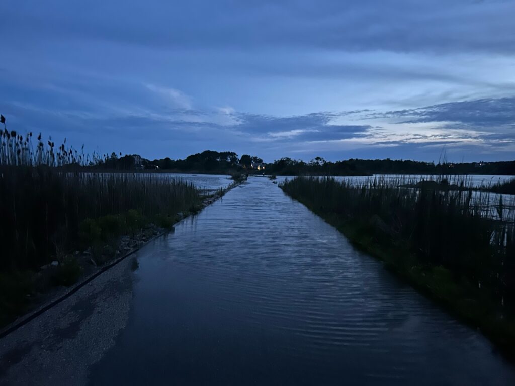
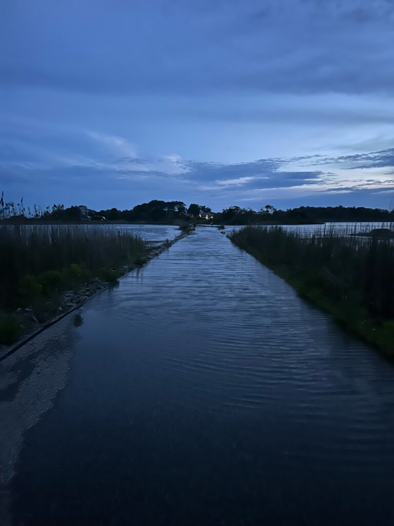
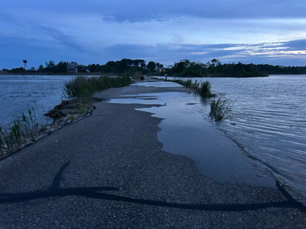
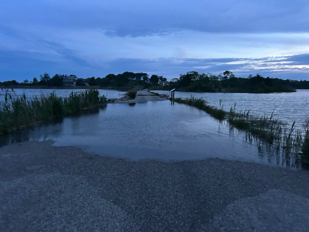
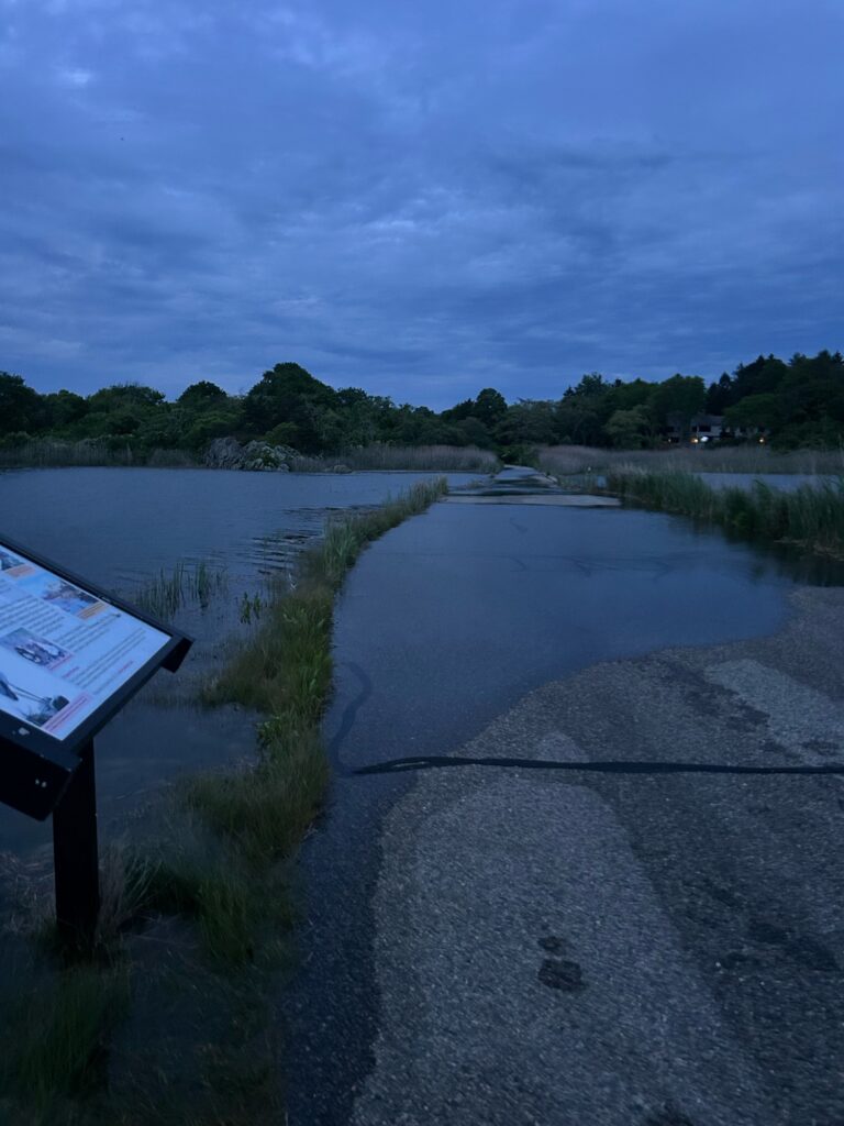
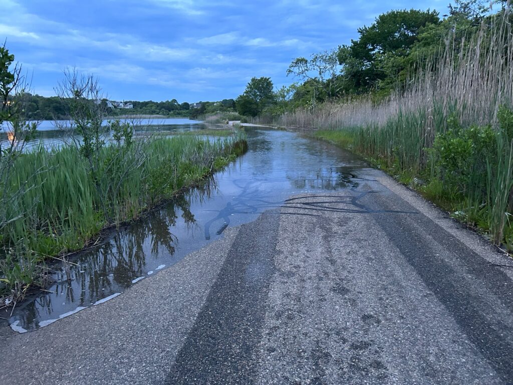
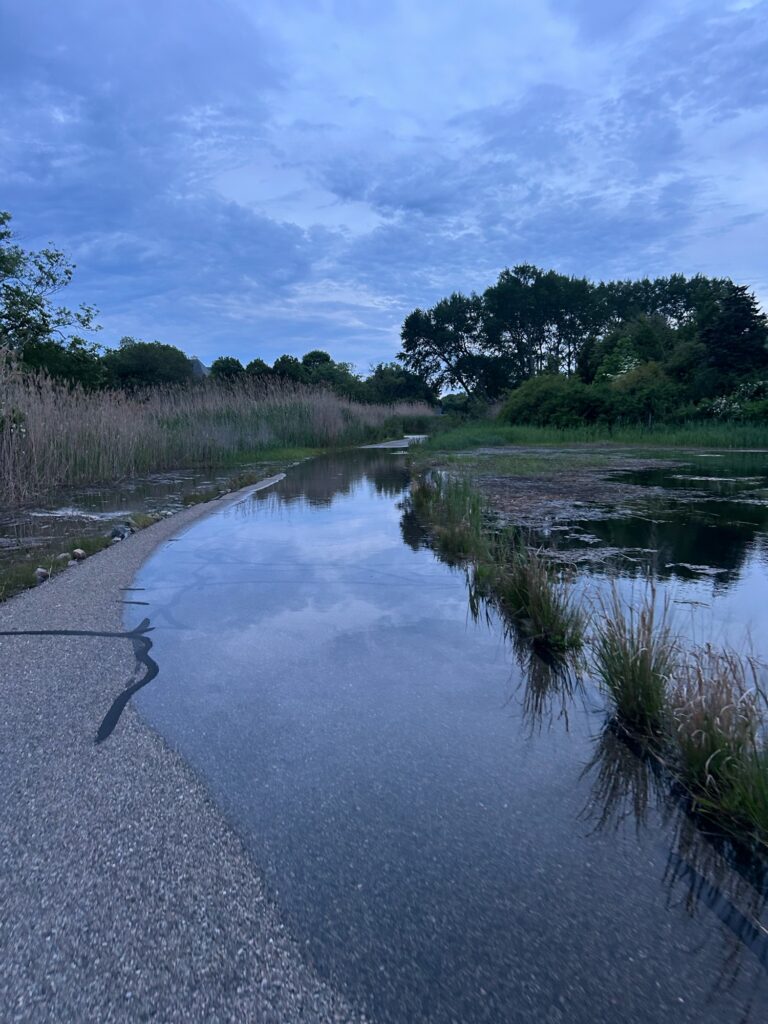
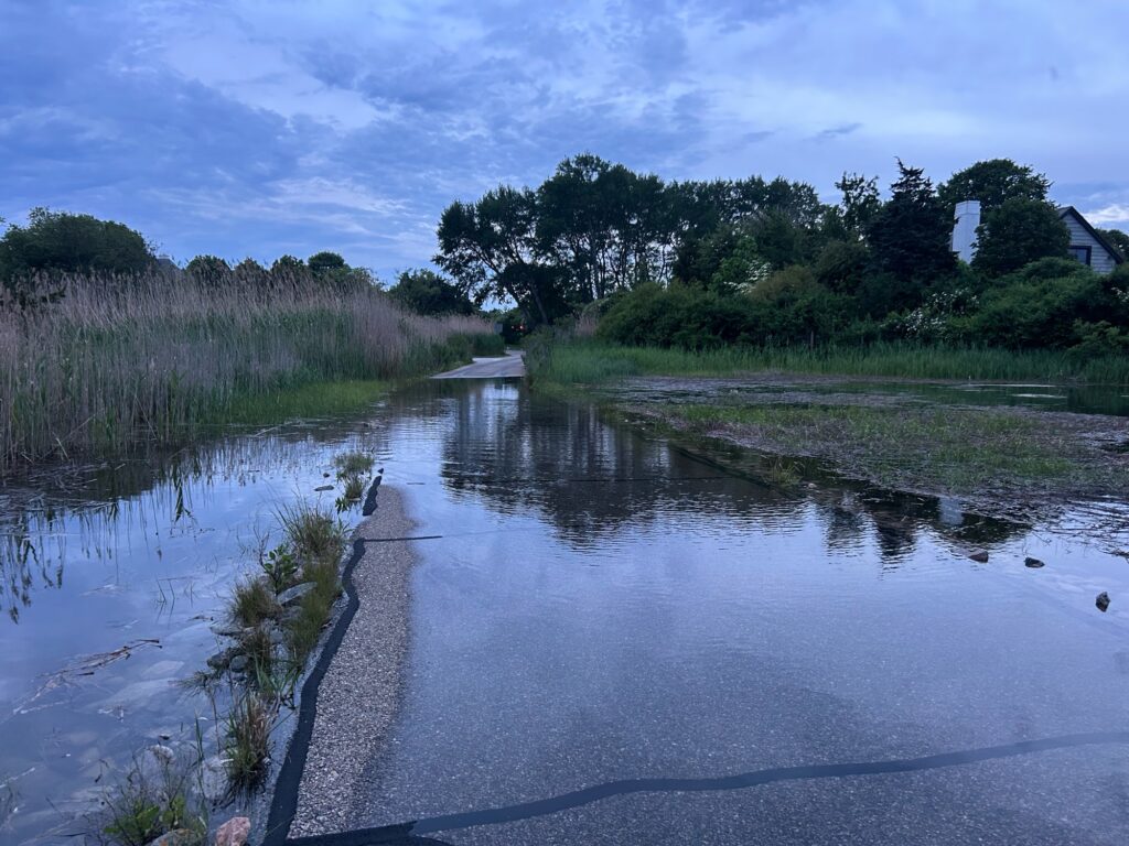
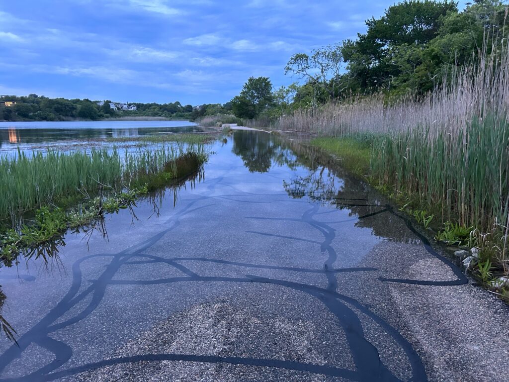
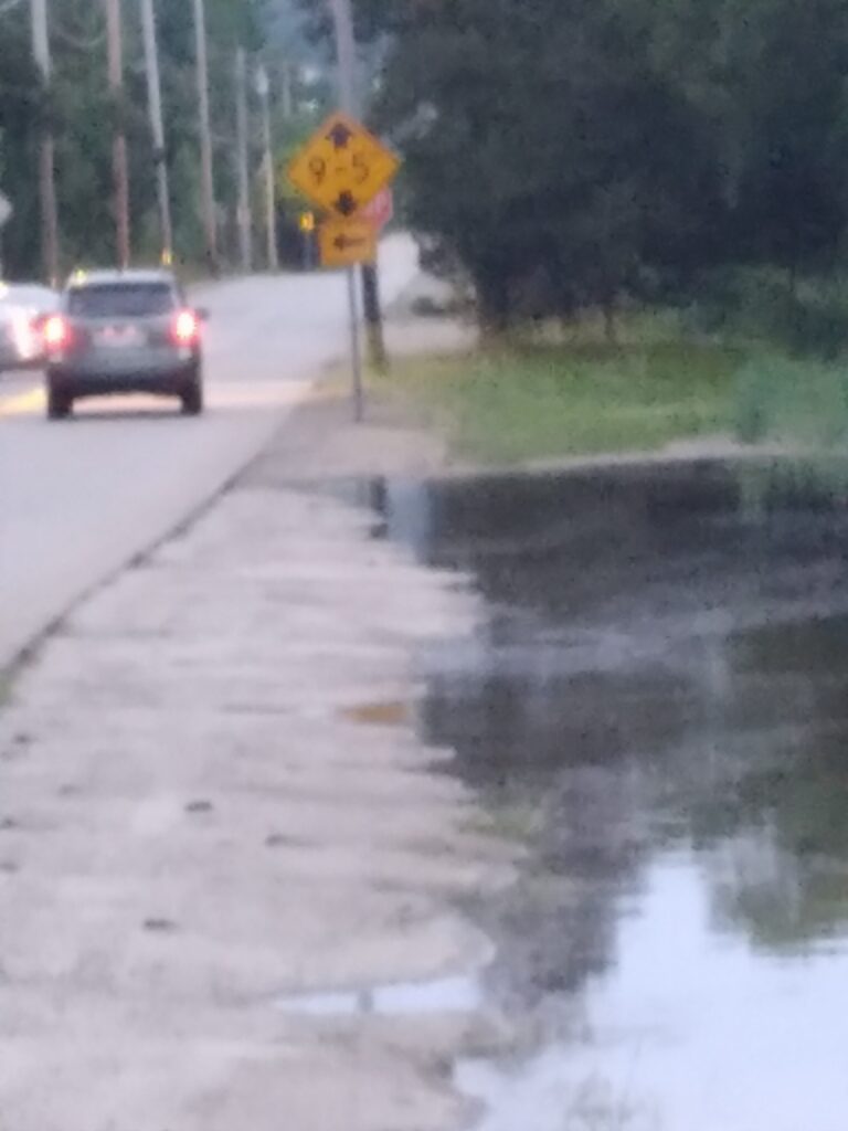
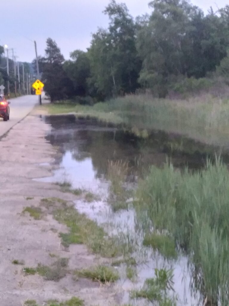
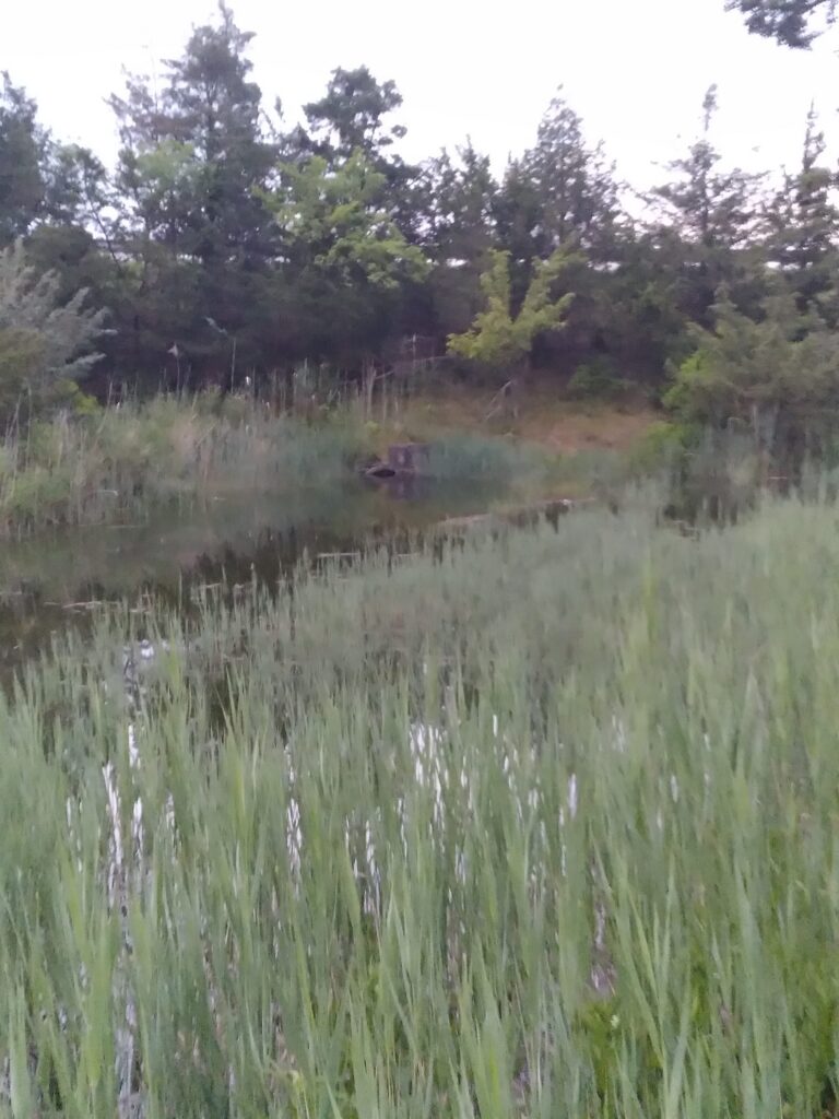
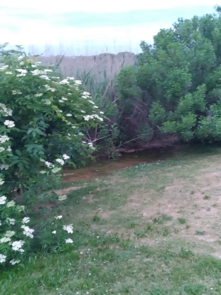
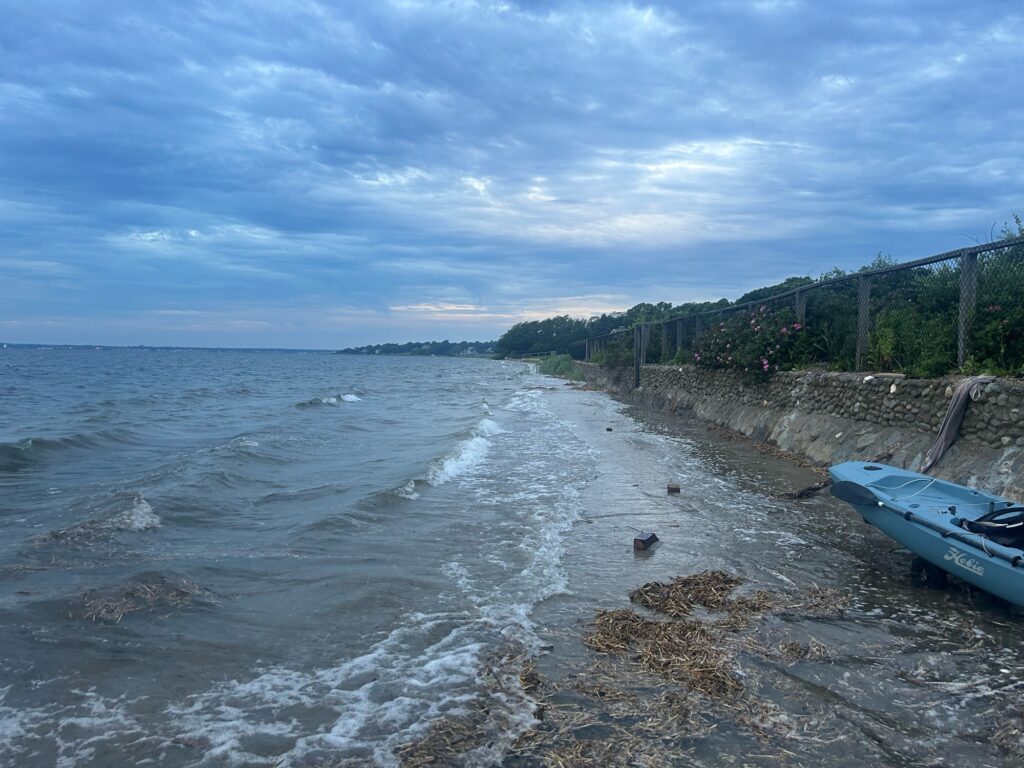
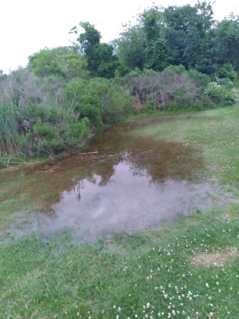
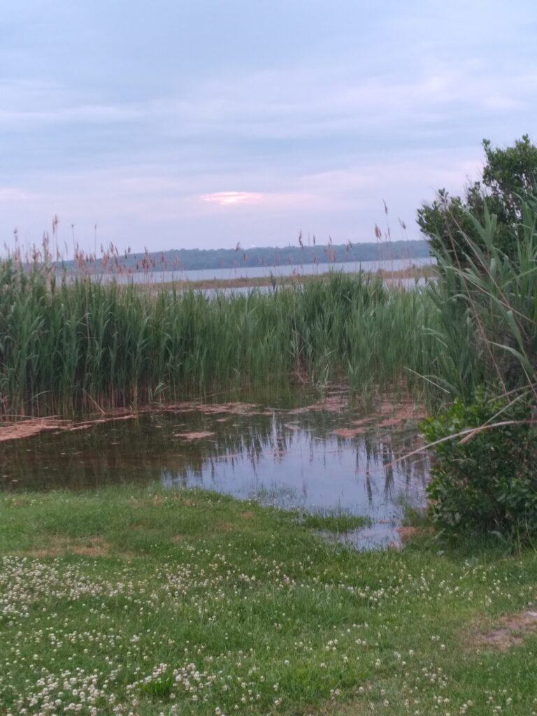
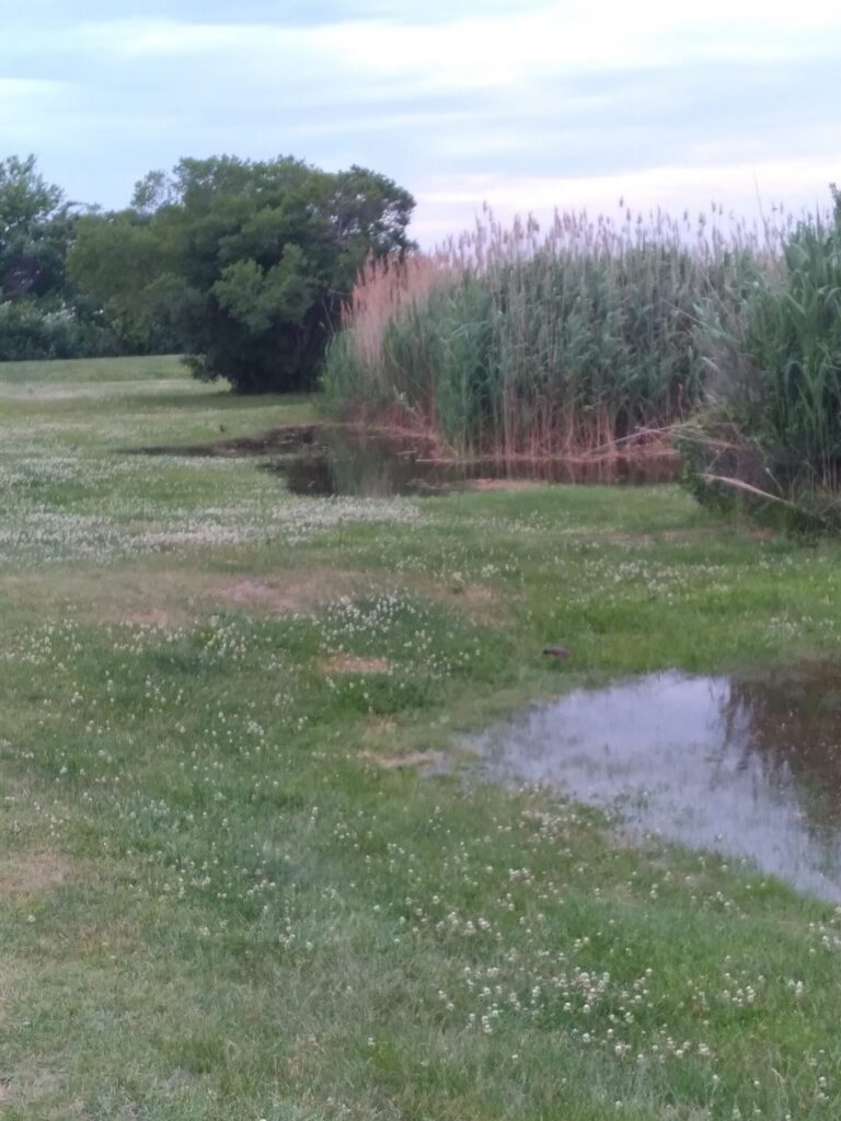
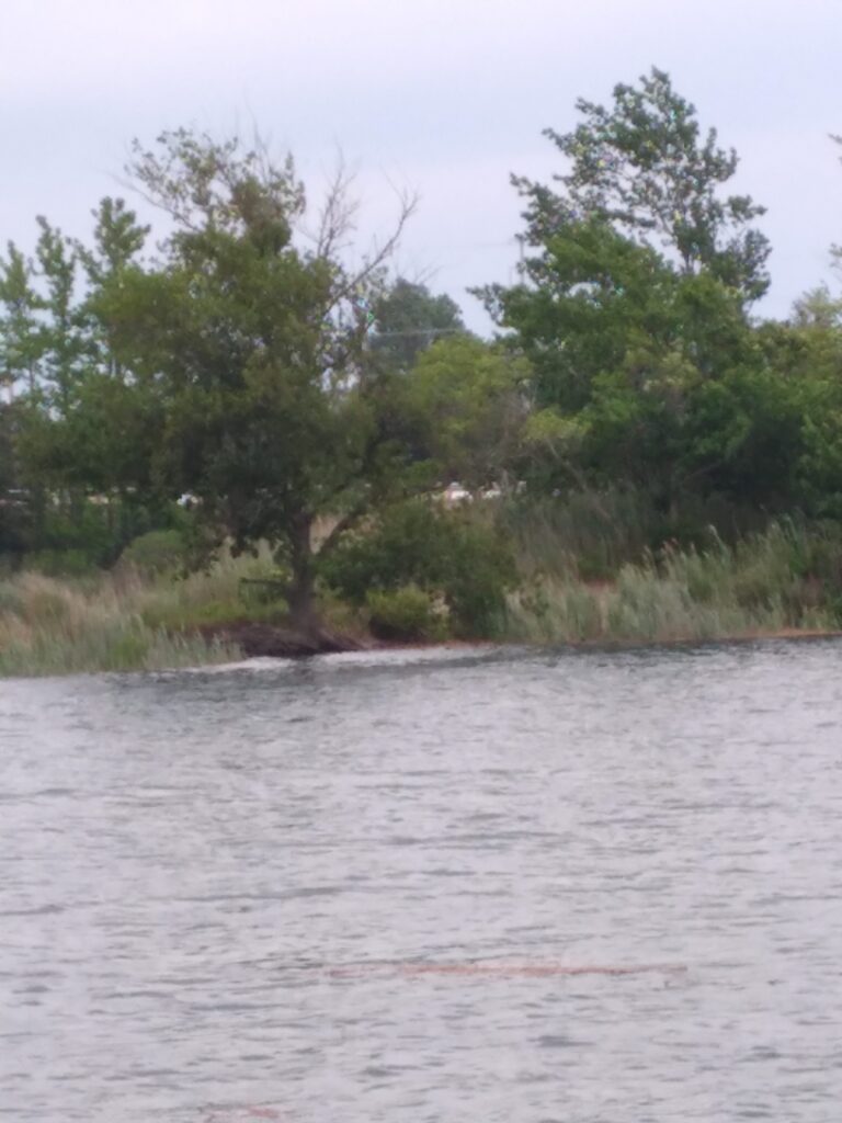
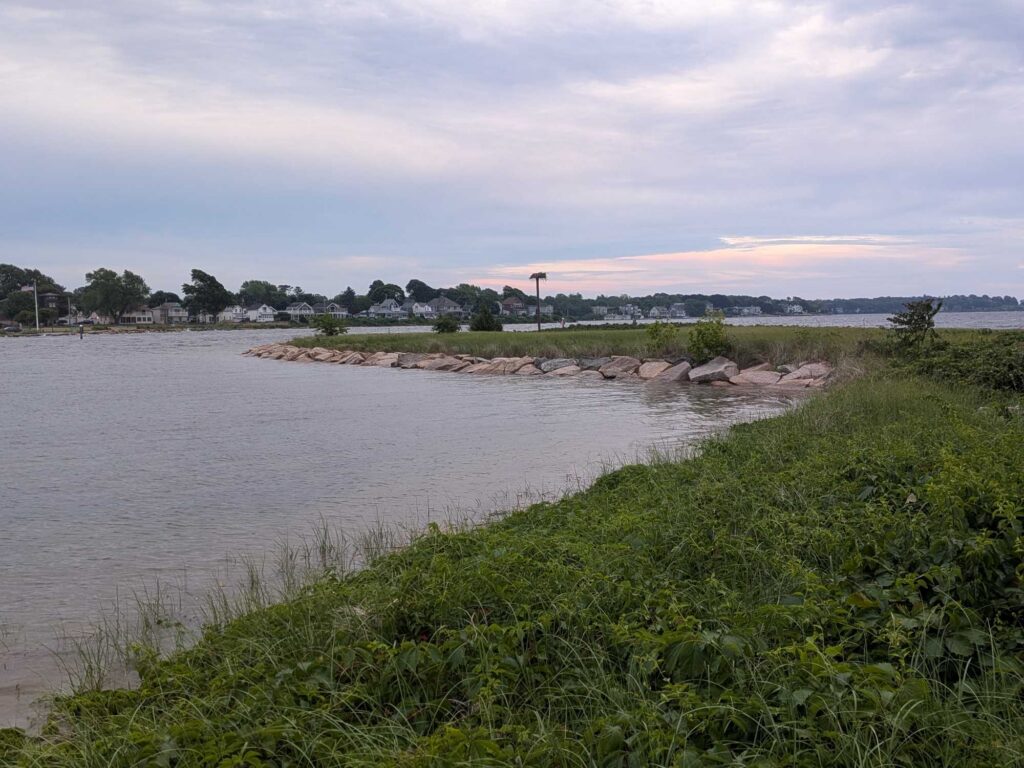
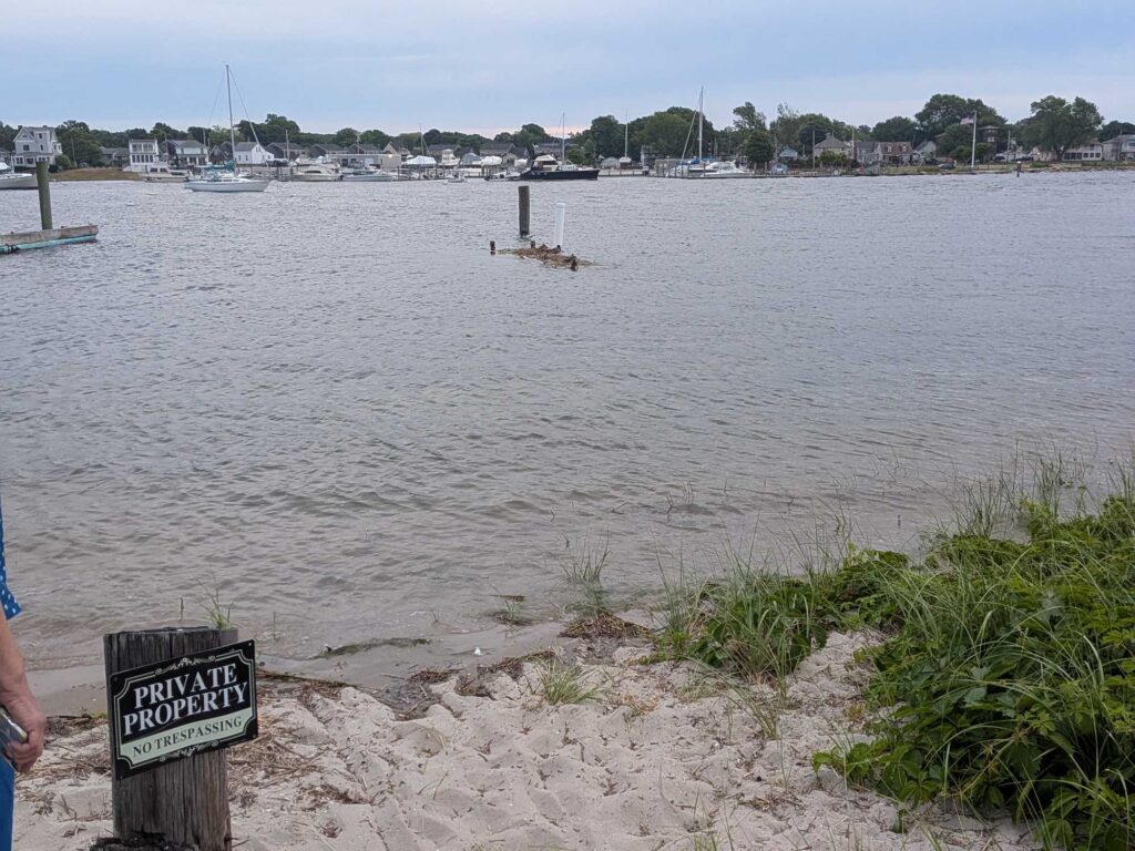
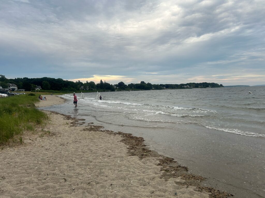
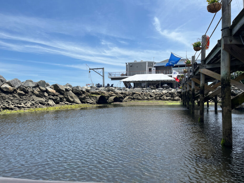
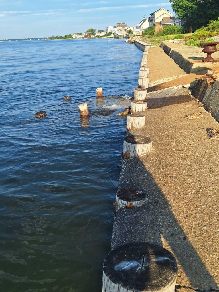
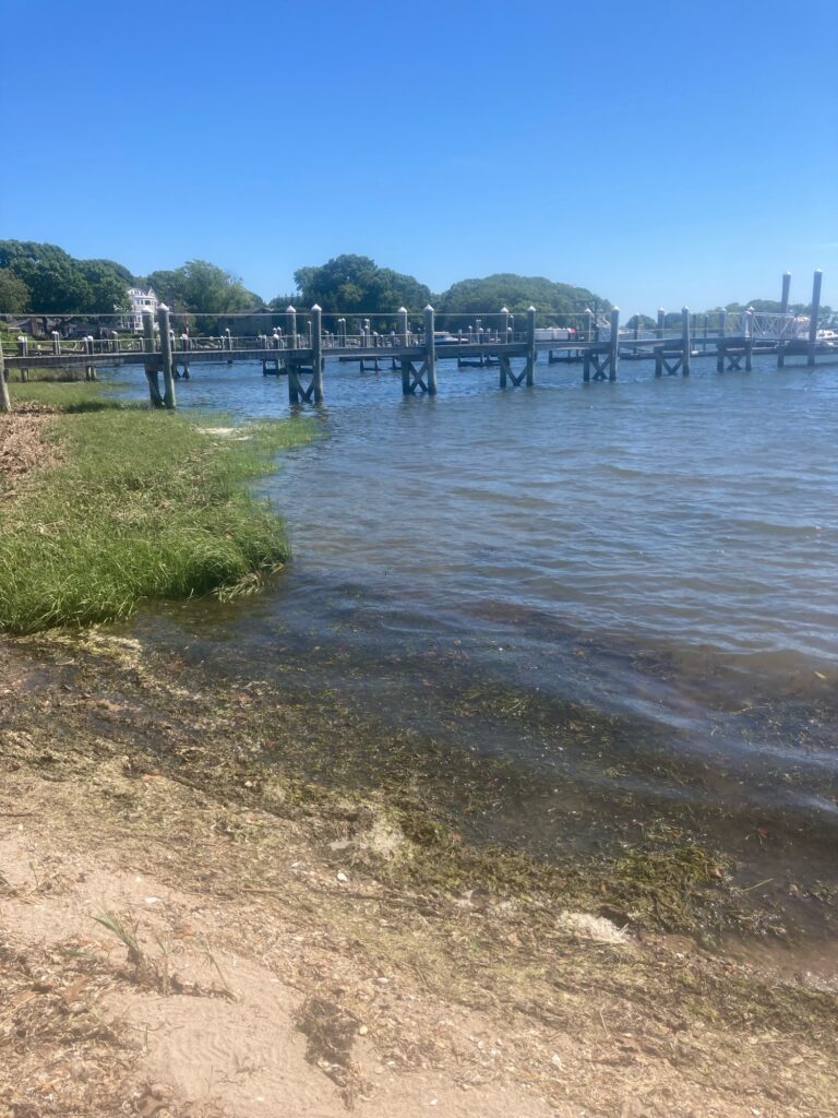
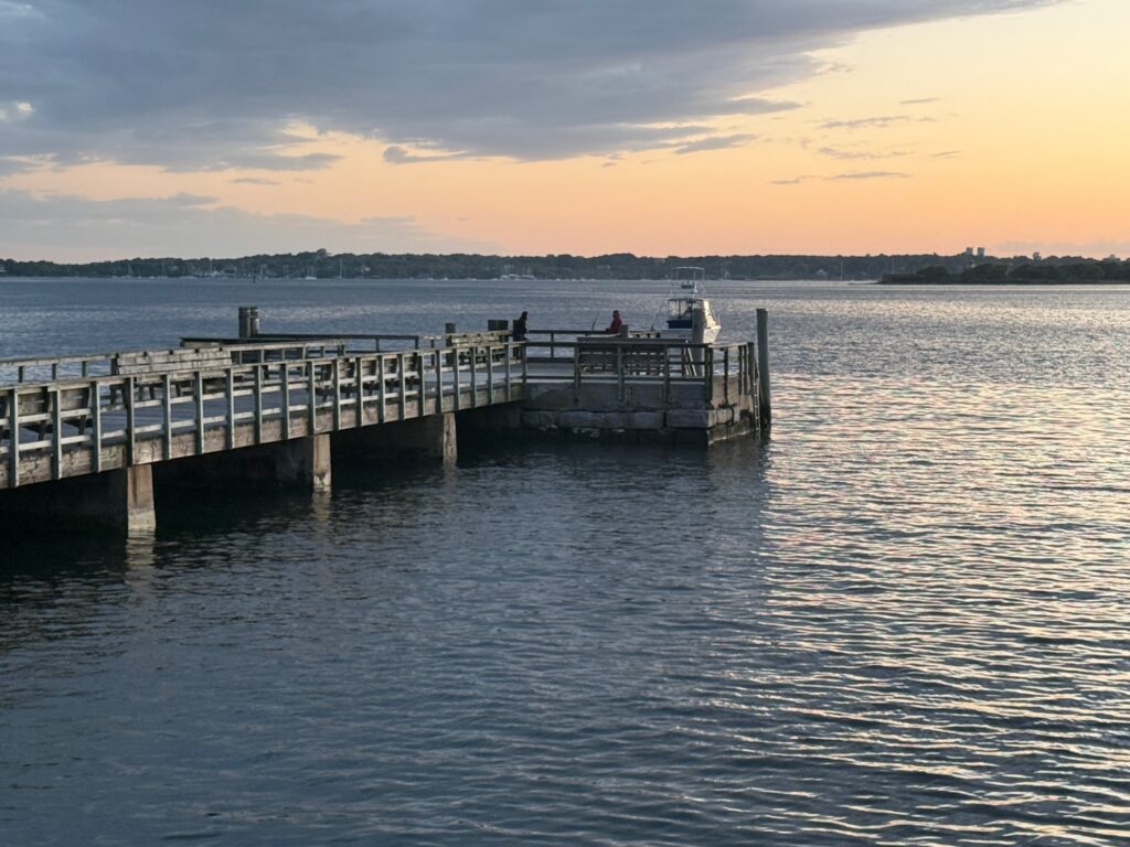
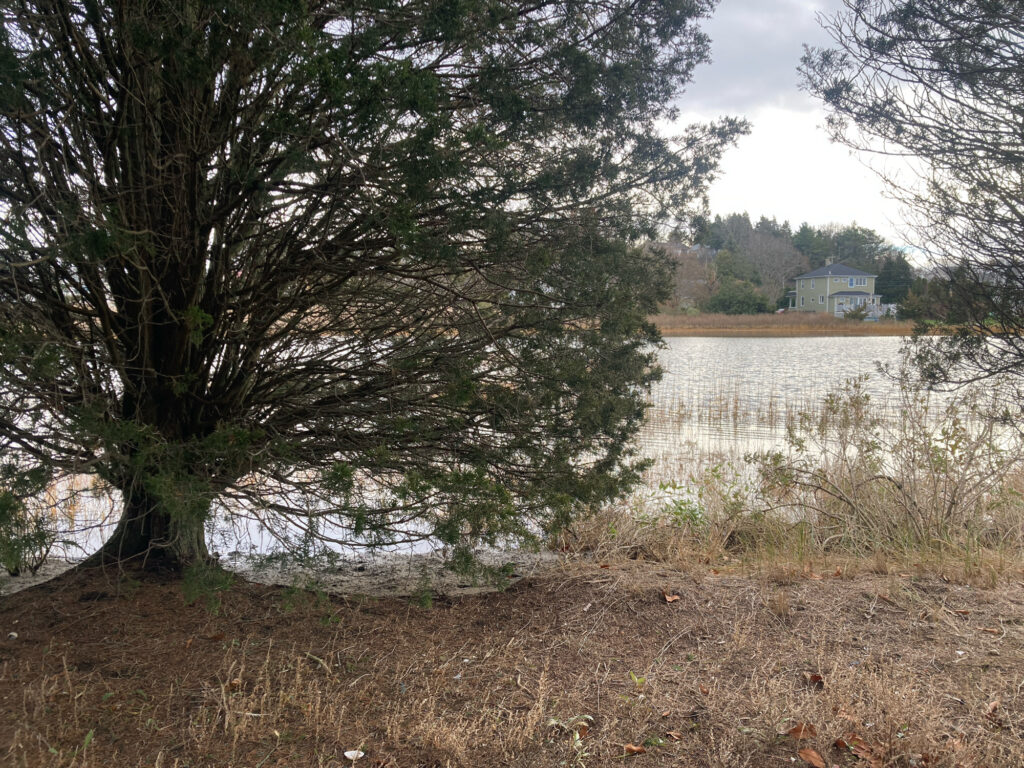
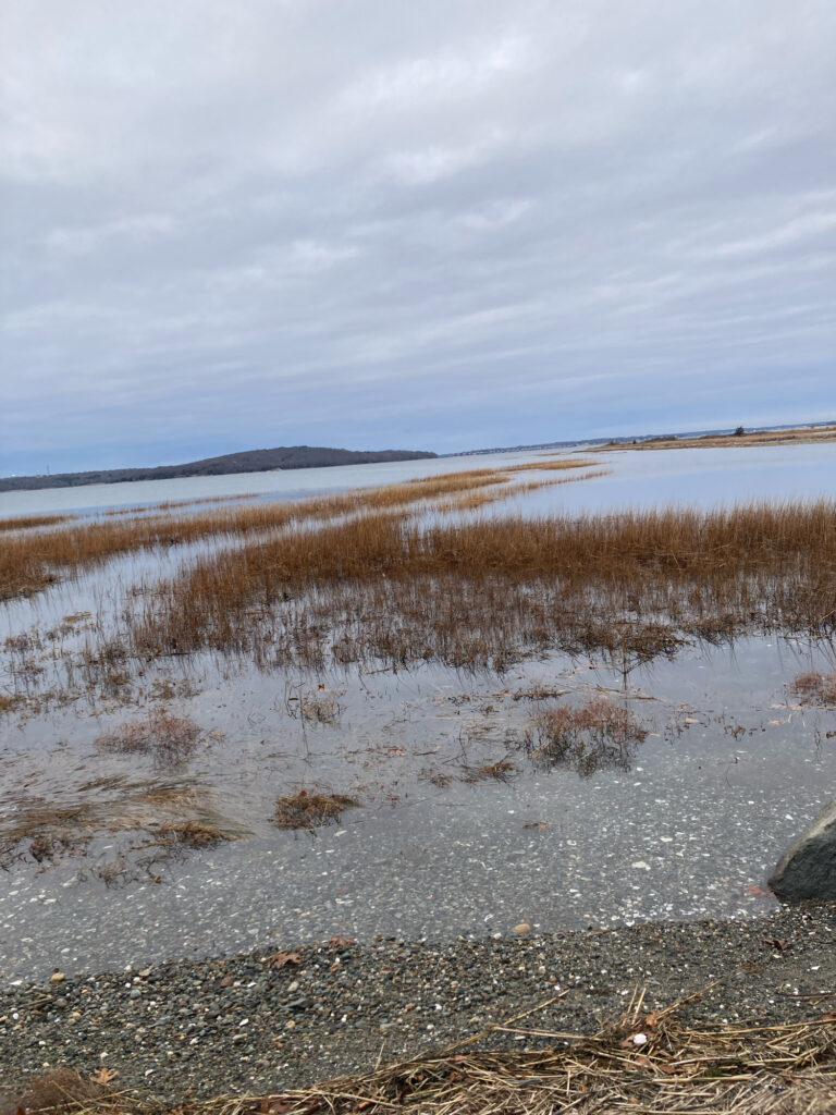
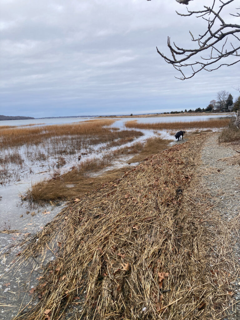
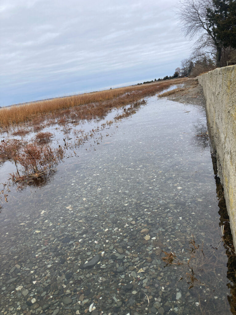
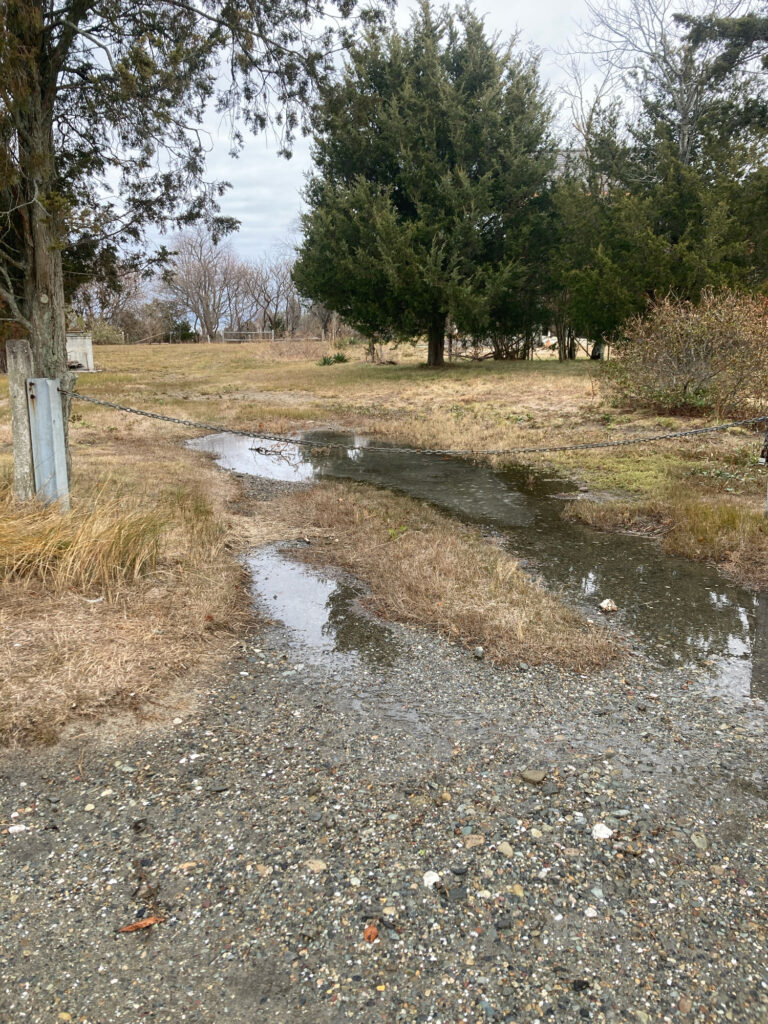
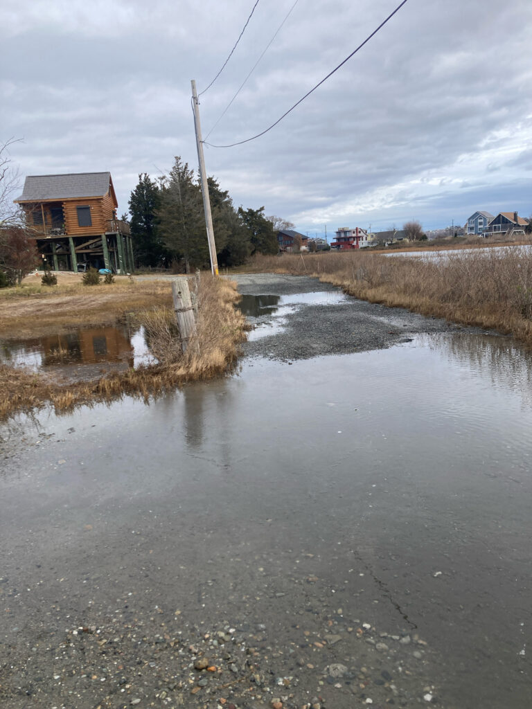
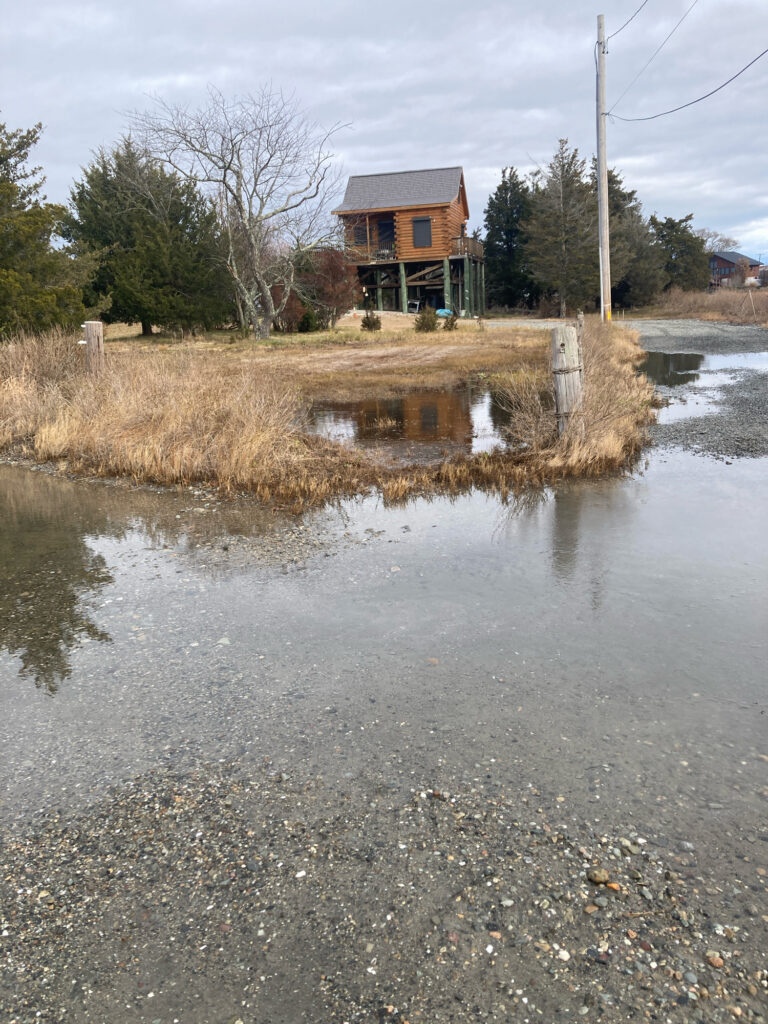
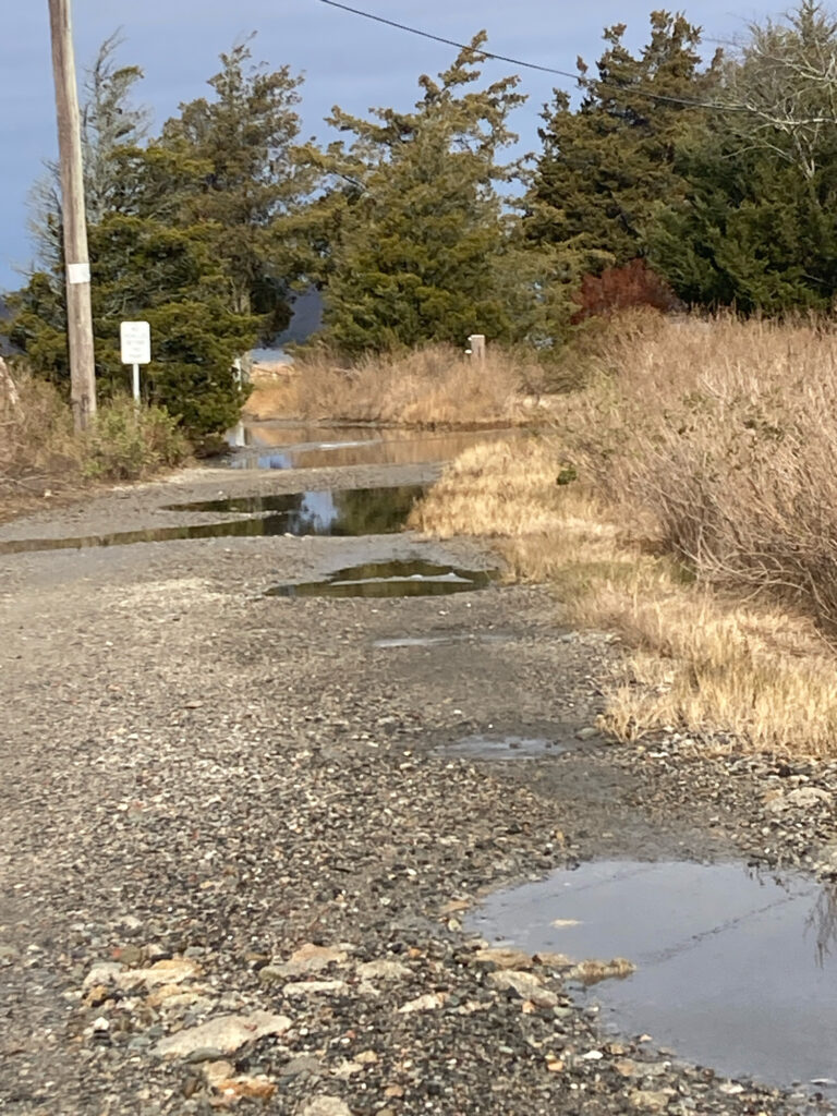
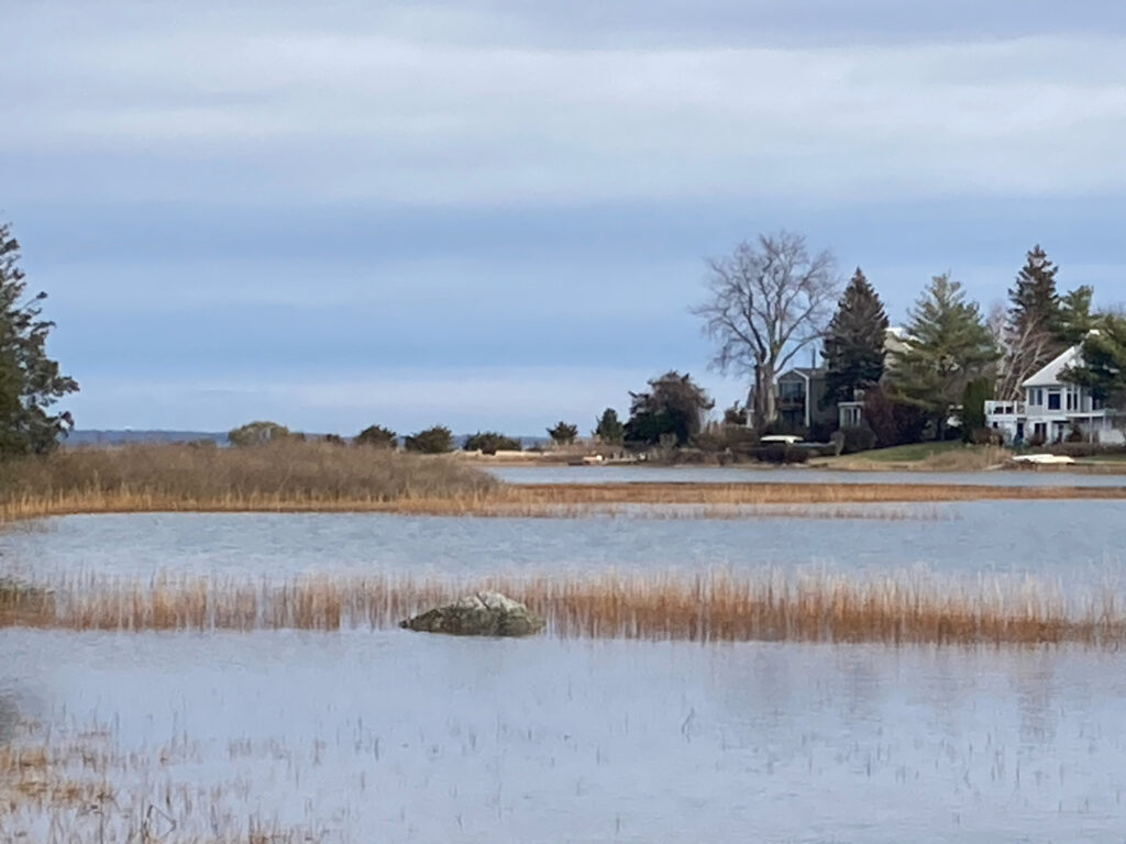
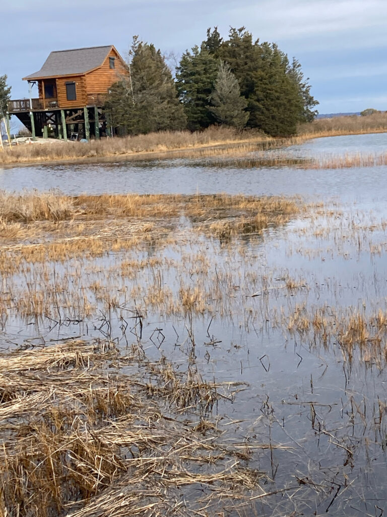
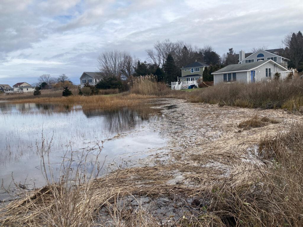
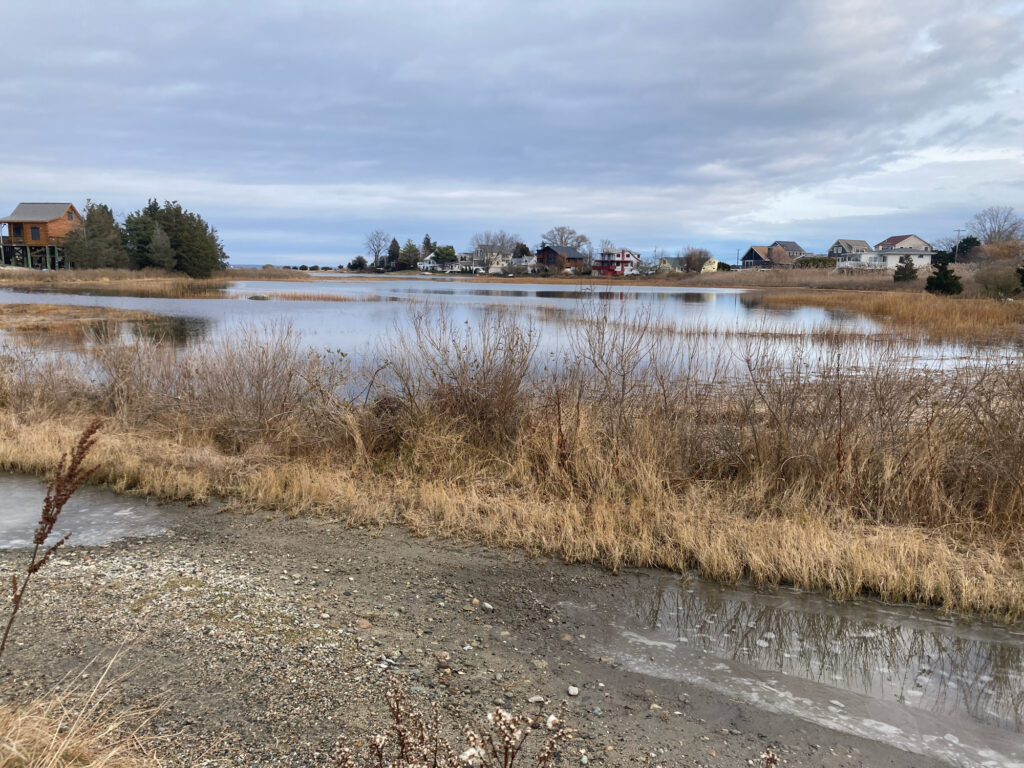
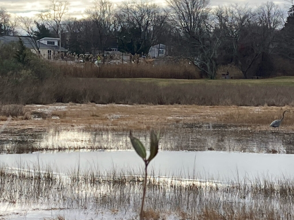
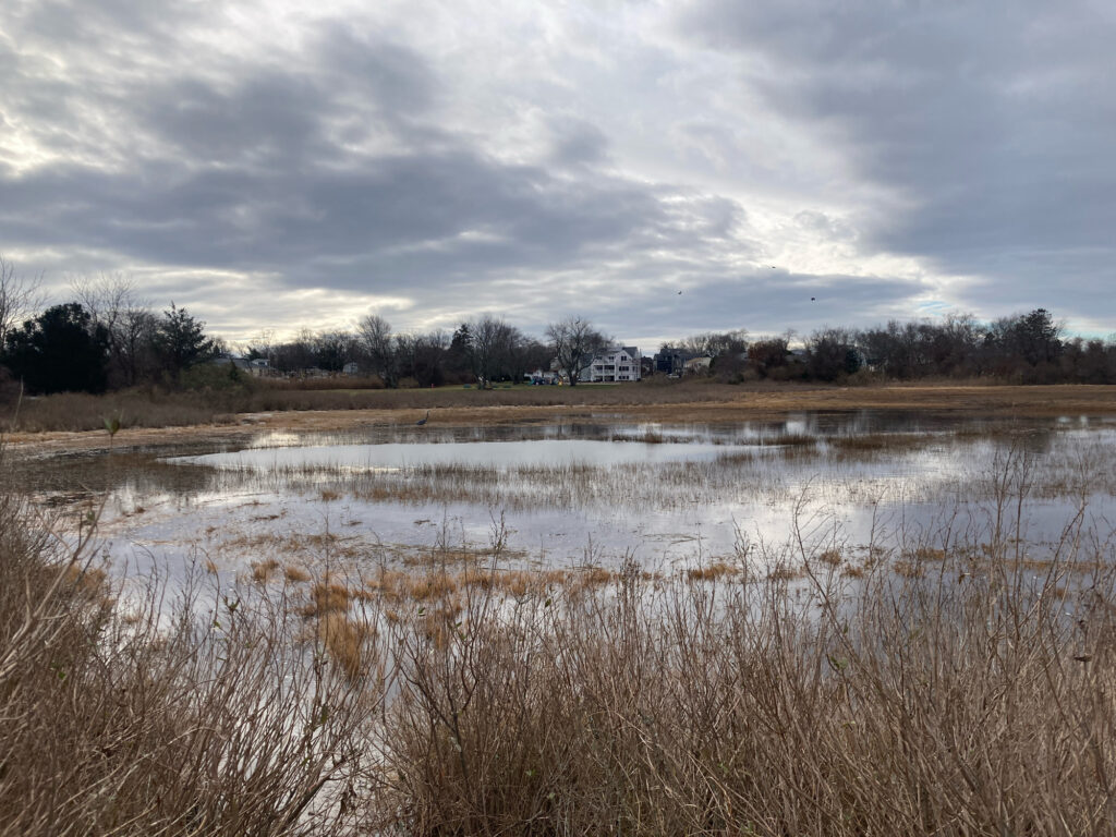
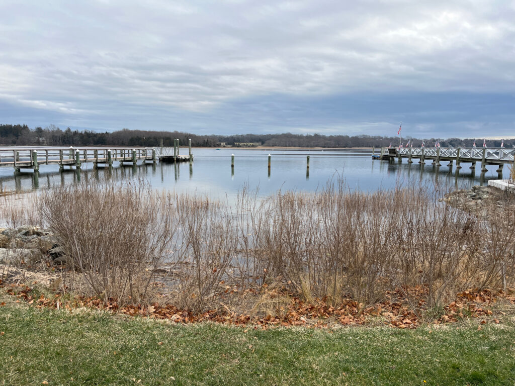
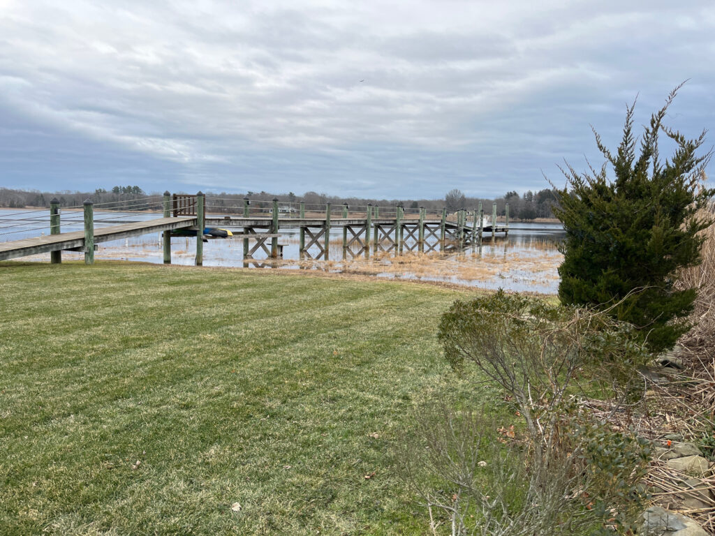
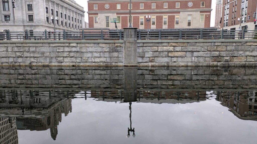
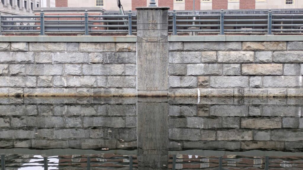
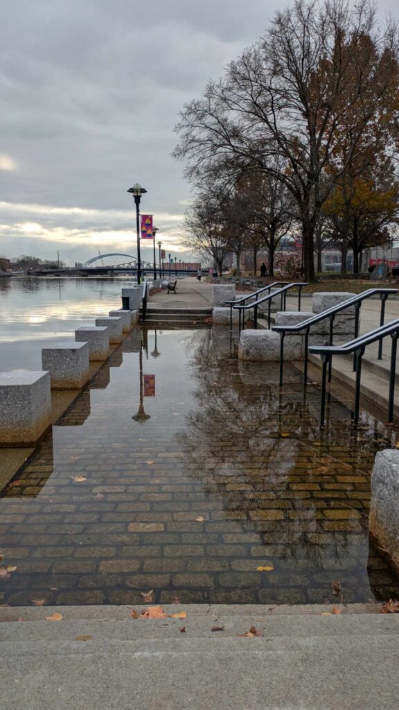
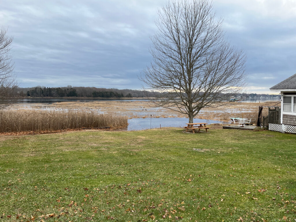
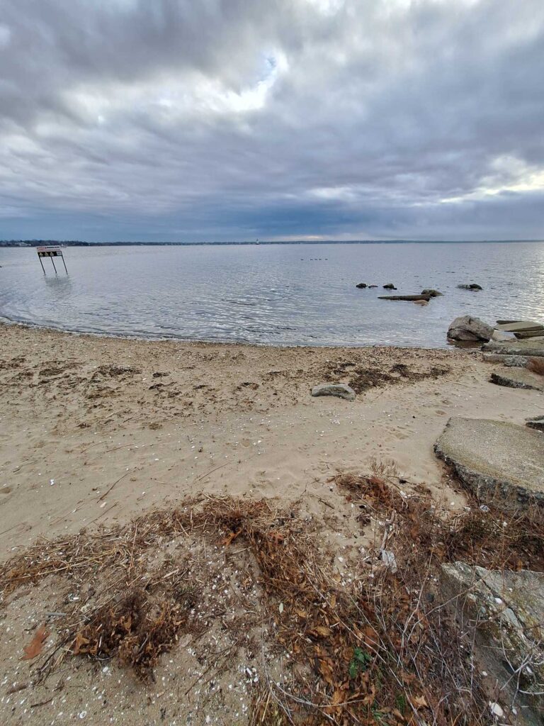
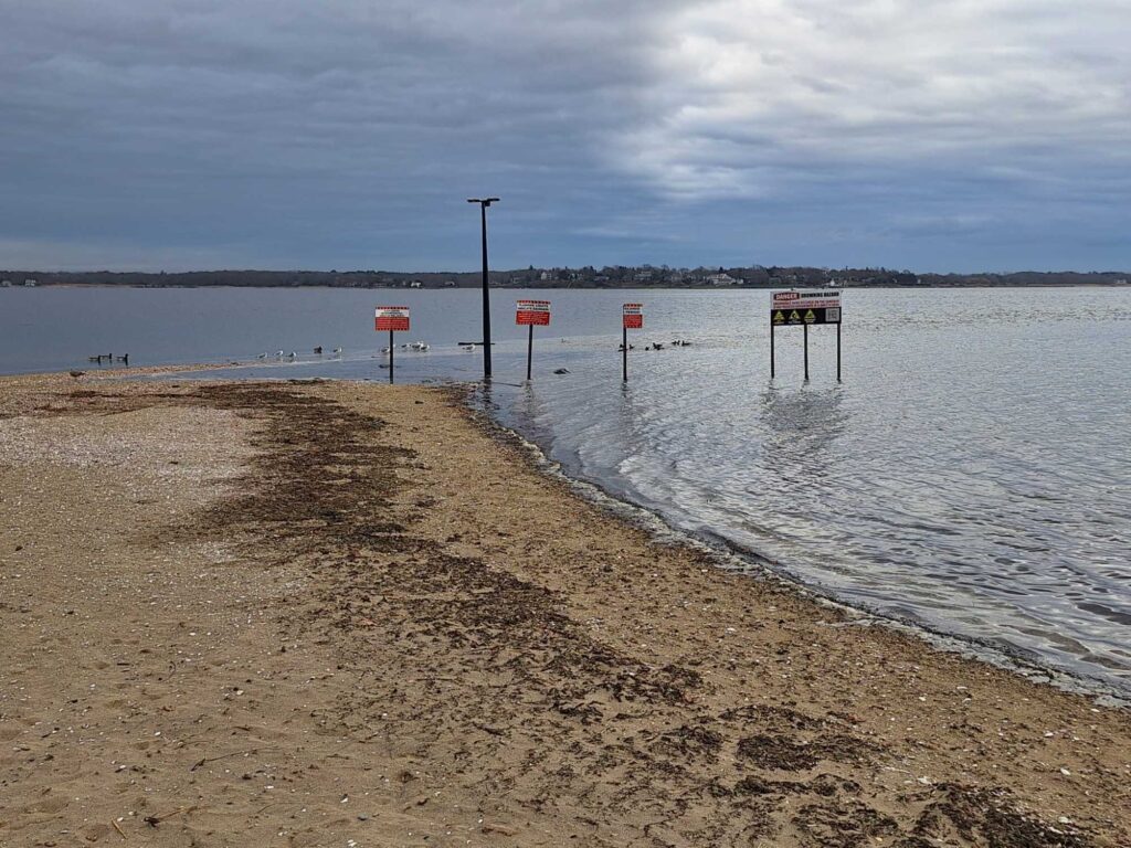
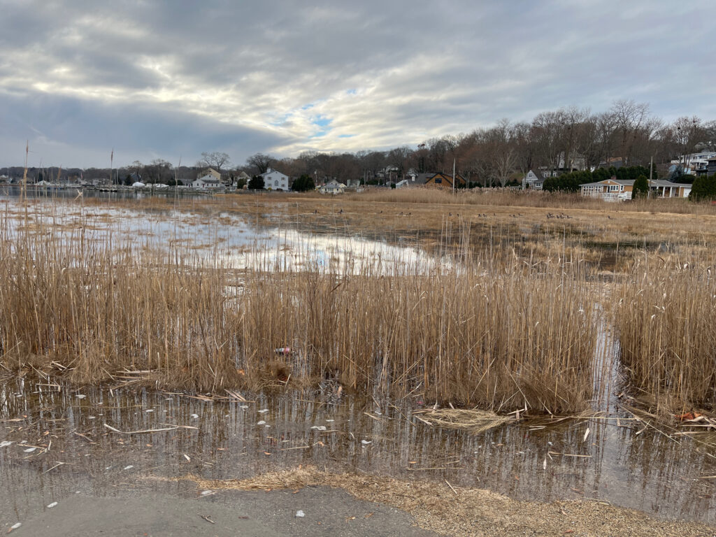
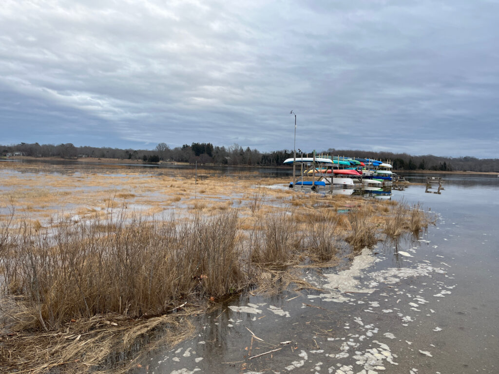
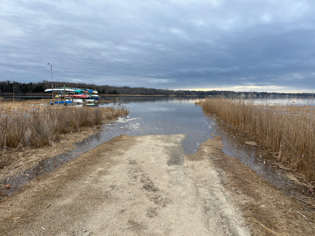
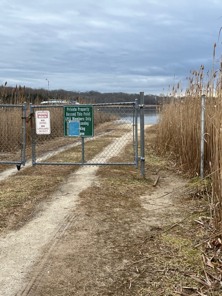
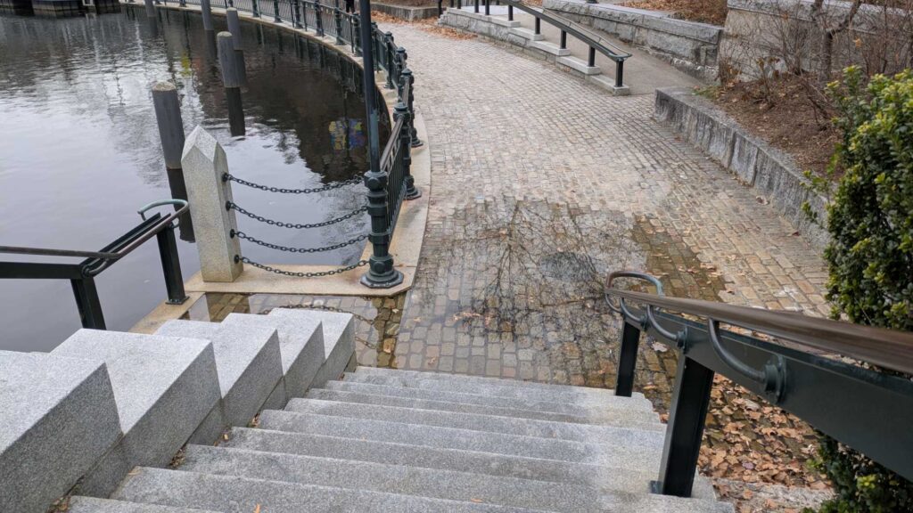
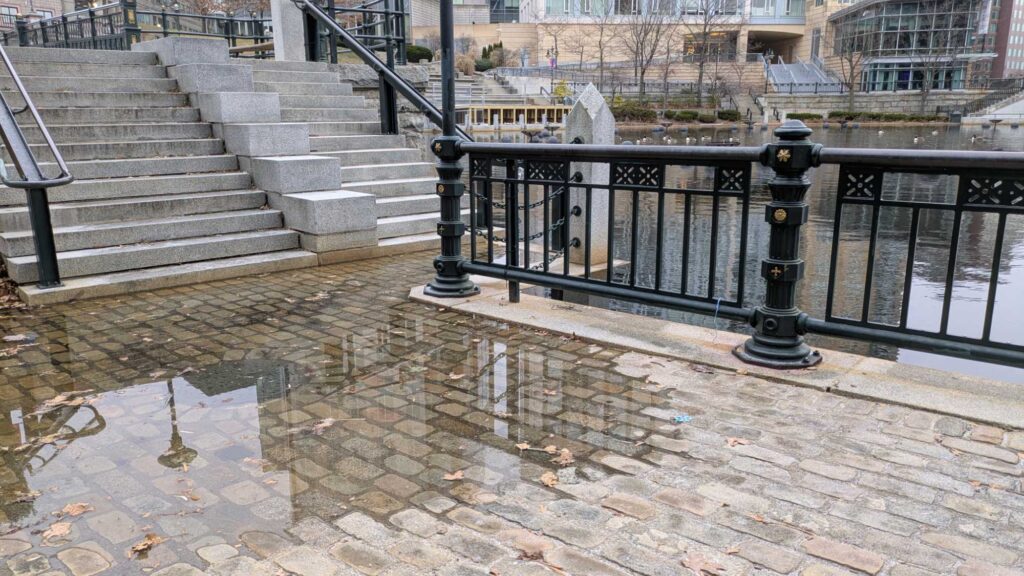
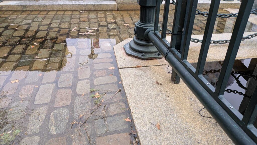
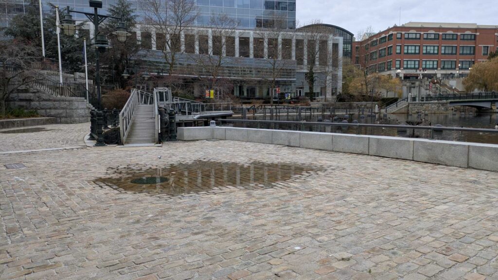
Today’s King Tides are tomorrow’s daily tides. MyCoast-RI King Tide monitoring helps to document the effect that extreme tide events have on our state’s beaches, coastal waterways, private property, and public infrastructure. This high-tide flooding—which has also been called nuisance or sunny-day flooding—causes short-term public inconveniences such as flooded streets and closed roads. Over longer periods, chronic flooding can strain city budgets and compromise infrastructure. As global sea level rises, so will the frequency and depth of high-tide flooding.
The term “King Tide” is a non-scientific term used to describe the highest seasonal tides that occur each year. These tides occur naturally and are typically caused when a spring tide (when the sun, moon, and earth align during a new and full moon, increasing tide ranges) takes place when the moon is closest to Earth during the 28-day elliptical orbit (known as a perigee).
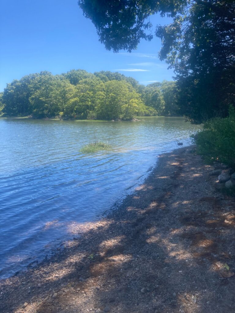
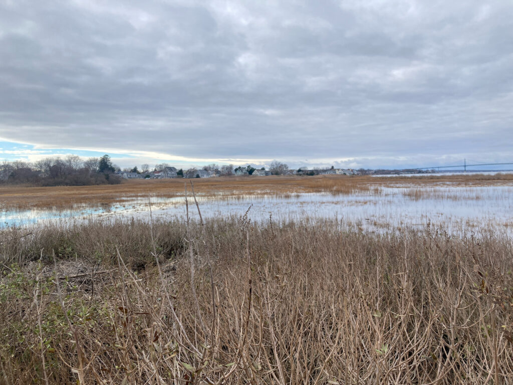
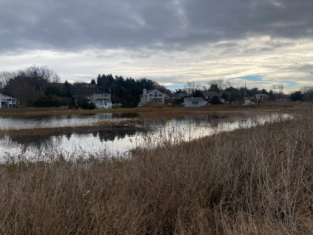
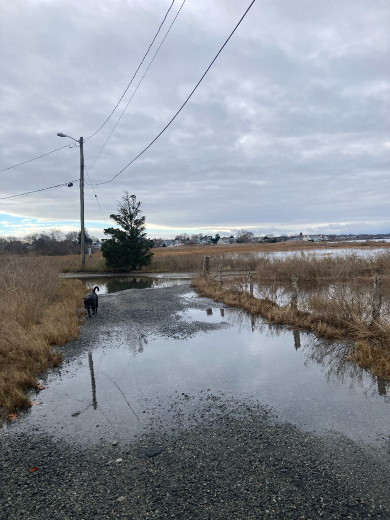
The effect of individual King Tides may vary considerably. In some cases, they may barely even be noticed. In other cases, a King Tide may cause coastal erosion, flooding of low-lying areas and disruption to normal daily routines. This is particularly true when a King Tide event coincides with significant precipitation because water drainage and runoff is impeded.
MyCoast-RI needs your help to capture photographs of King Tide events. Our team uses the photographs to better understand the issues of today and changes in the future. They support efforts to validate, analyze, and communicate coastal vulnerability and associated planning initiatives throughout our coastal neighborhoods. Photographs may also be used in presentations, publications, and on its website.