Providence, RI
Downtown Providence
King Tide Report
Tidal Overview
![]() 0 hours 27 minutes after high tide
0 hours 27 minutes after high tide
Data from Providence, State Pier no.1 (1.2 miles away)
Water Level (at time of report): 7:57 am, 7' MLLW
High Tide (Predicted): 7:48 am, 5.9' MLLW
High Tide (Observed): 7:30 am, 7.1' MLLW
Loading NOAA Tide Data…
■ Observed
■ Predicted water level
⬤ Report time
Weather Overview
Wind Speed: 6.1 MPH
Wind Direction: NW (306°)
Temperature: 44℉
Rainfall (Calendar Day): 0"
Rainfall (Past 24 Hours): 0"
You must be logged in to post a comment.
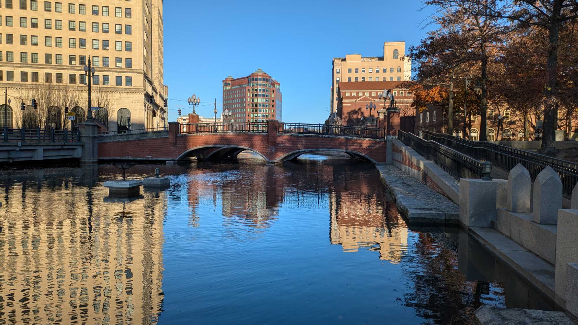
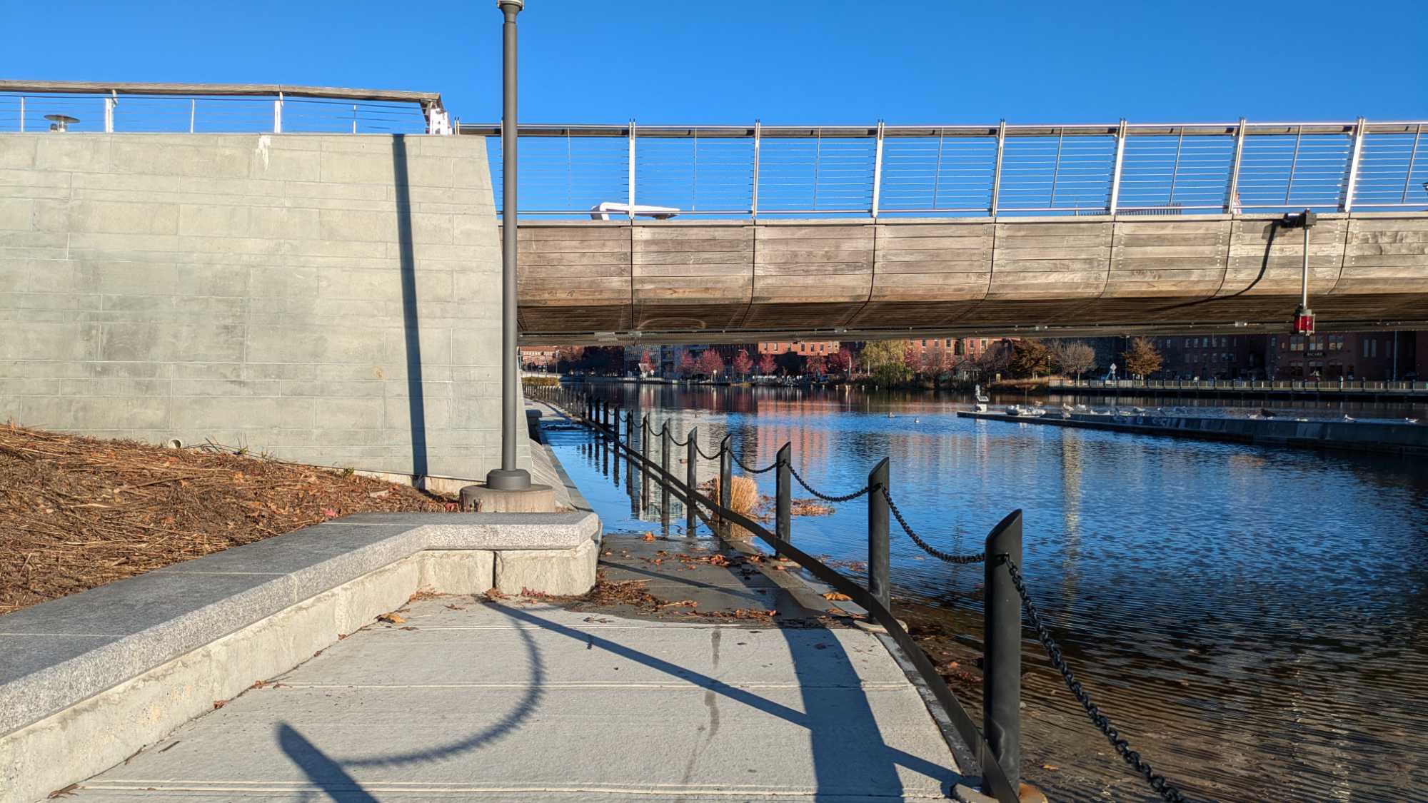
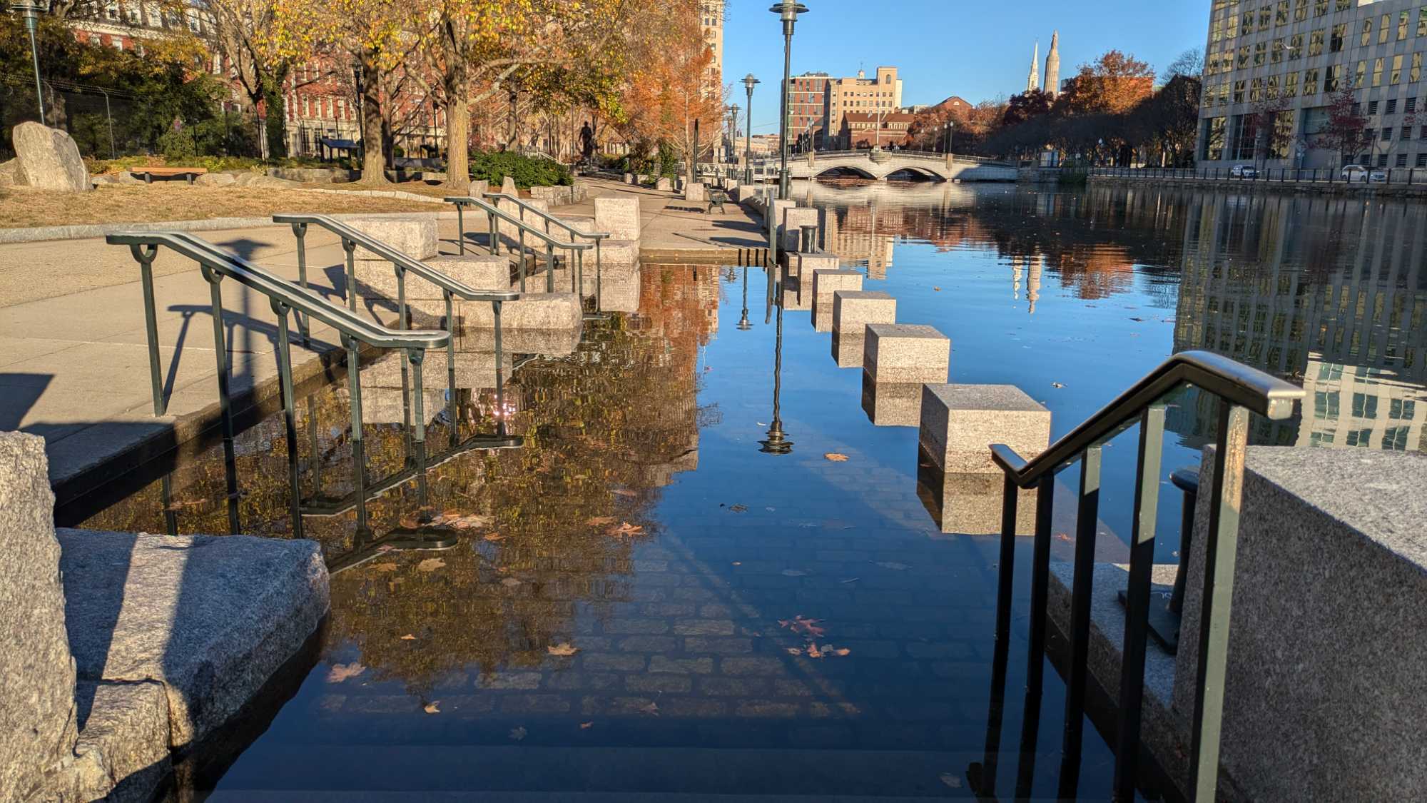
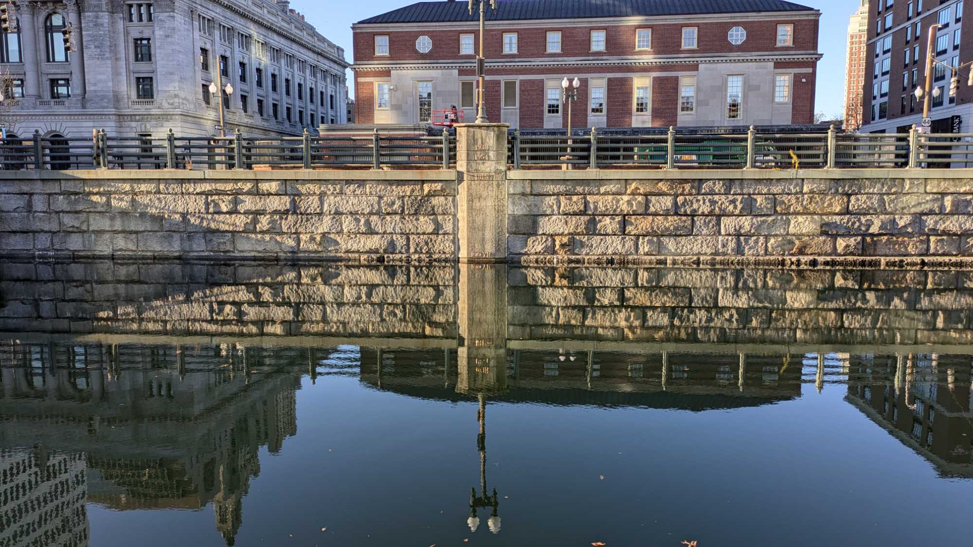
Photos from the confluence of the Woonasquatucket and Mosshassuck rivers, and along the west side of the Providence River. The walkway under the west end of the pedestrian bridge had a couple inches of water, as well.