11/05/2021 | 8:38 pm | View on STORMTOOLS
Water flooding across then spilling over Hazard Rd, in Newport, which was completely rebuilt and elevated several years ago to prevent flooding related to sea level rise. Not elevated enough!
Loading tide stations…
Wind Speed: 0.1 MPH
Wind Direction: N (353°)
Temperature: 34℉
Rainfall (Calendar Day): 0"
Rainfall (Past 24 Hours): 0"
Click here for full weather details


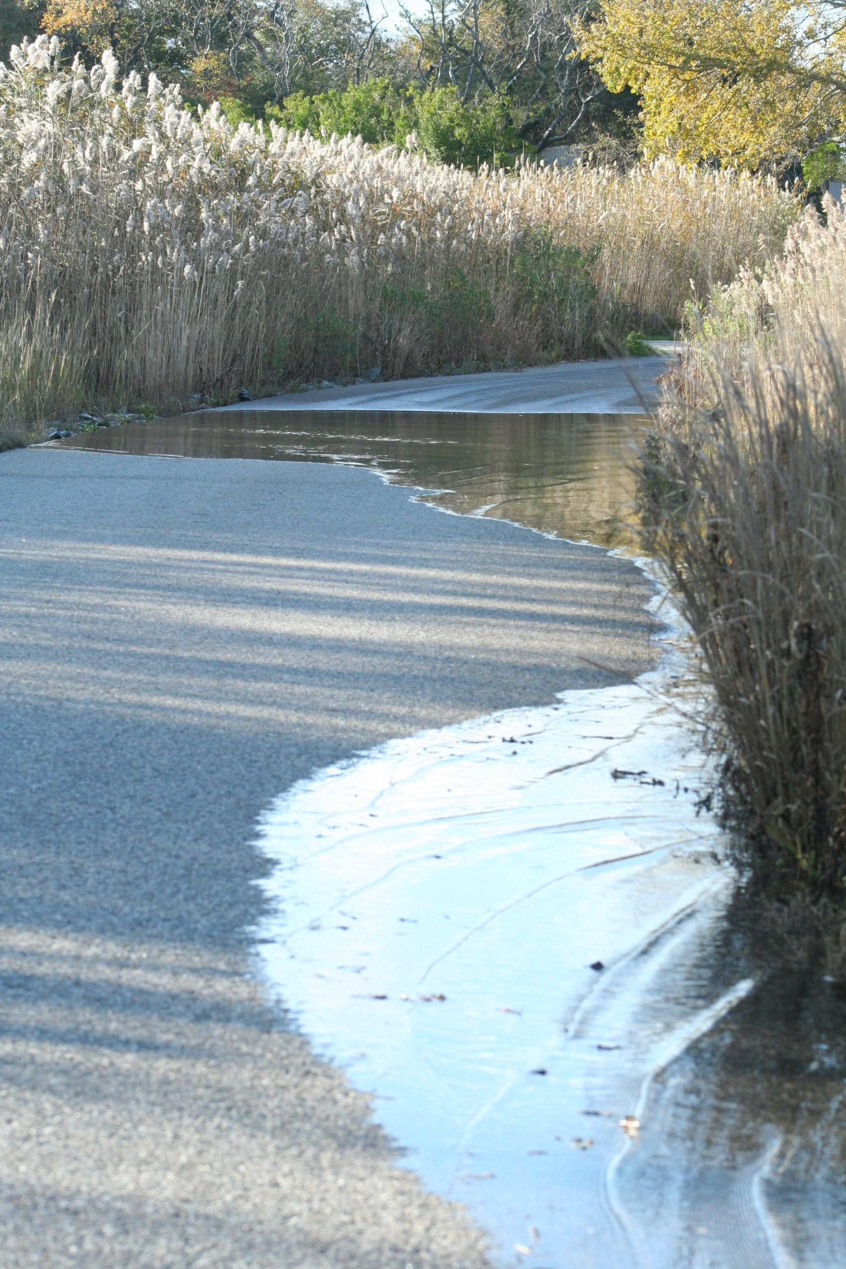
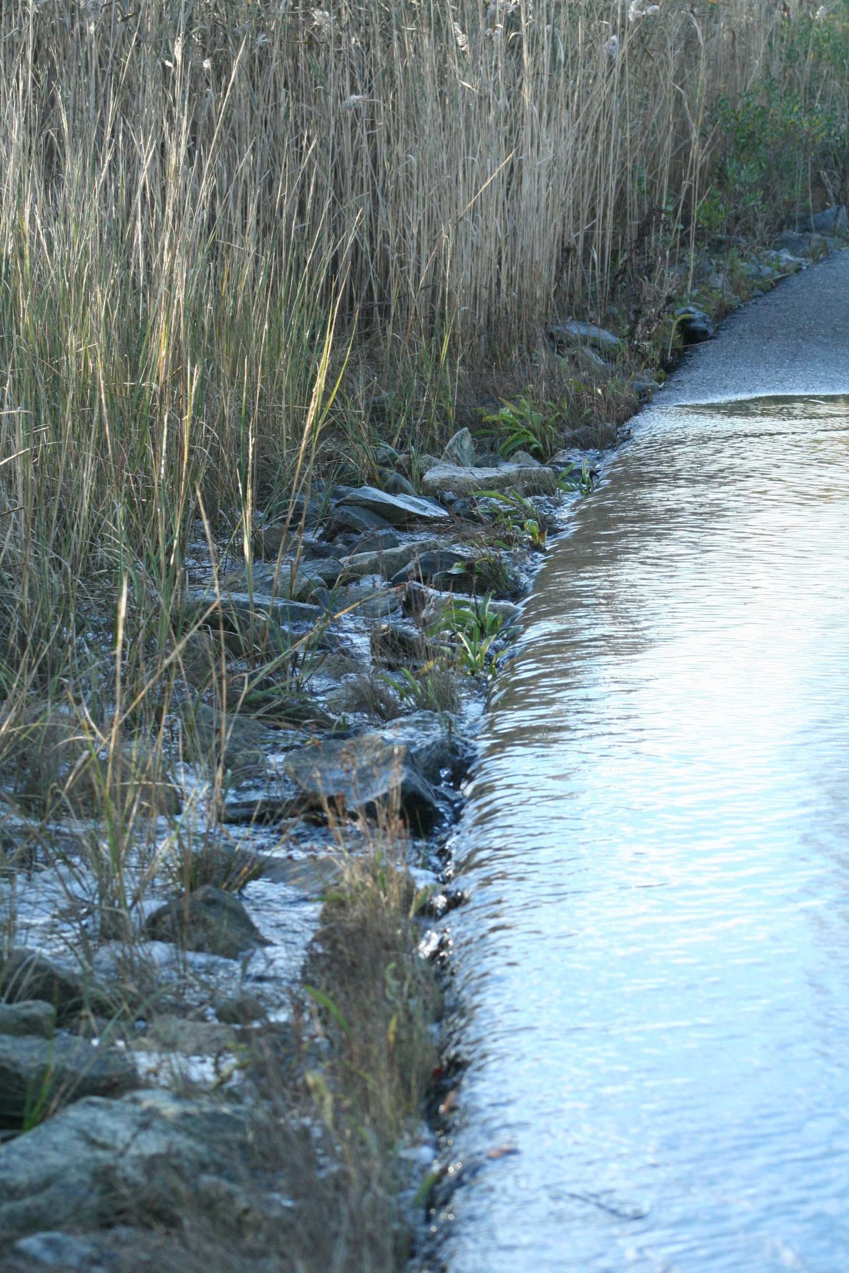
Water flooding across then spilling over Hazard Rd, in Newport, which was completely rebuilt and elevated several years ago to prevent flooding related to sea level rise. Not elevated enough!