Ocean County
Little Egg Harbor Township, NJ
High Water Report
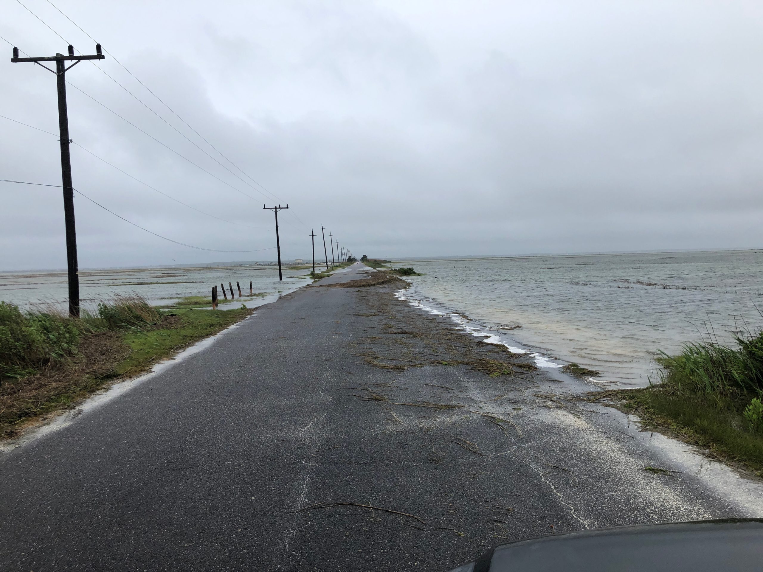
User Submitted Data
Source of Flooding:
- Bay
Cause of Flooding:
- High Tide
Tidal Overview
![]() 0 hours 42 minutes after high tide
0 hours 42 minutes after high tide
Data from Little Sheepshead Creek (1 miles away)
All heights shown relative to Mean Lower Low Water (MLLW): the daily low tide level averaged over a 19-year period.
High Tide (Predicted): 12:40 pm, 3.1' MLLW
Loading NOAA Tide Data…
■ Observed
■ Predicted water level
⬤ Report time
The accuracy of the predicted tides at the photo location may vary depending on distance from the nearest tide station and due to wind, rain, and other short-term meteorological events.
Weather Overview
Wind Speed: 13.2 MPH
Wind Direction: NNE (29°)
Temperature: 53℉
Rainfall (Calendar Day): 0.071"
Rainfall (Past 24 Hours): 0.66"
You must be logged in to post a comment.