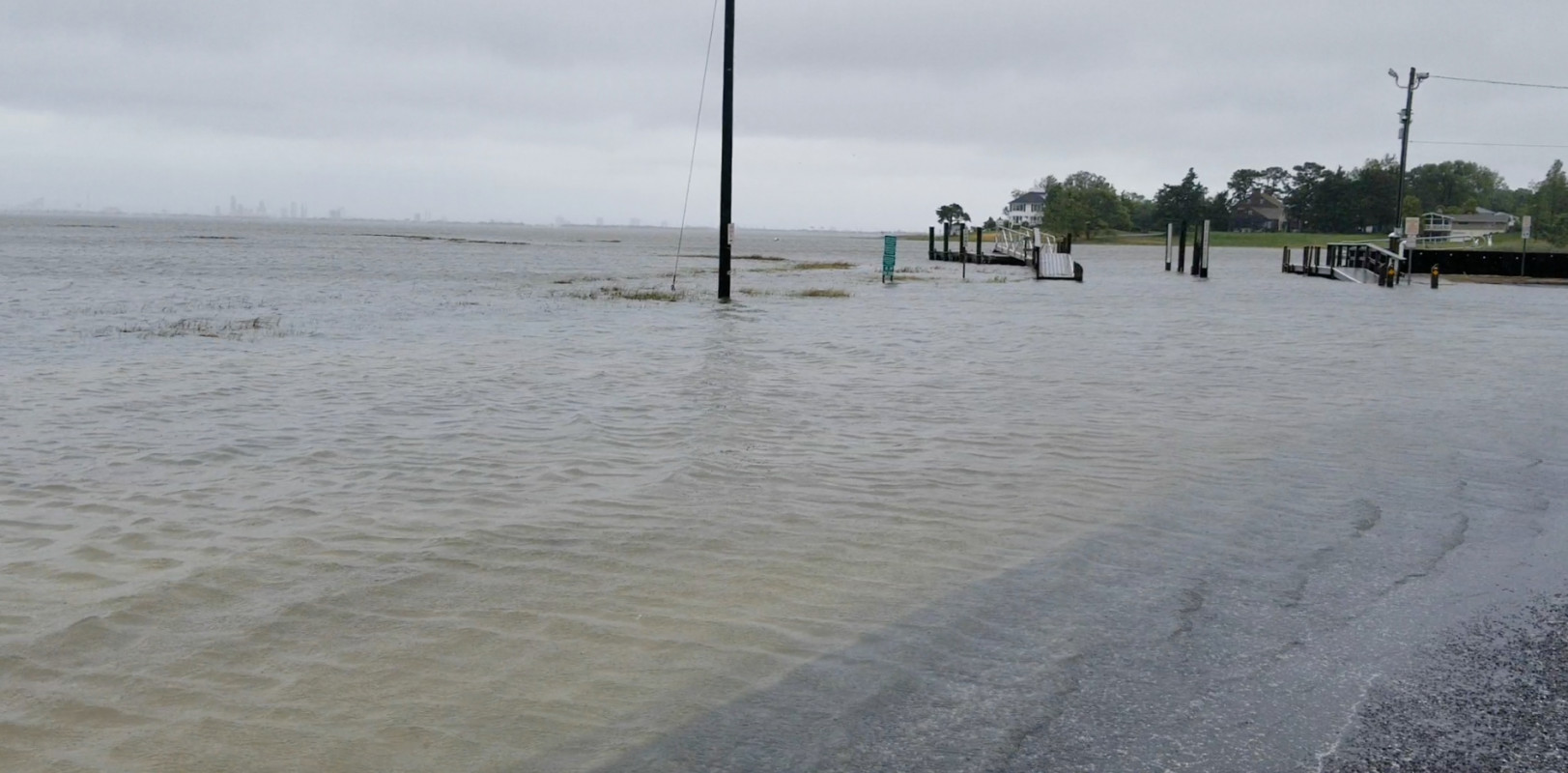
Data from Absecon, Absecon Creek, U.S. Hwy. 30 bridge (0.8 miles away) All heights shown relative to Mean Lower Low Water (MLLW): the daily low tide level averaged over a 19-year period.
High Tide (Predicted): 12:06 pm, 3.8'
■ Observed■ Predicted water level⬤ Report time
The accuracy of the predicted tides at the photo location may vary depending on distance from the nearest tide station and due to wind, rain, and other short-term meteorological events.
Hi David,
I am a Manhattan based photographer documenting communities impacted by flooding. I would love to connect and hear about your experiences with flooding in Absecon. Please contact me at emilyjaynealexander@gmail.com
1 Comment. Leave new
Hi David,
I am a Manhattan based photographer documenting communities impacted by flooding. I would love to connect and hear about your experiences with flooding in Absecon. Please contact me at emilyjaynealexander@gmail.com