Narragansett, RI
Galilee
Coastal Resilience Report
User Submitted Data
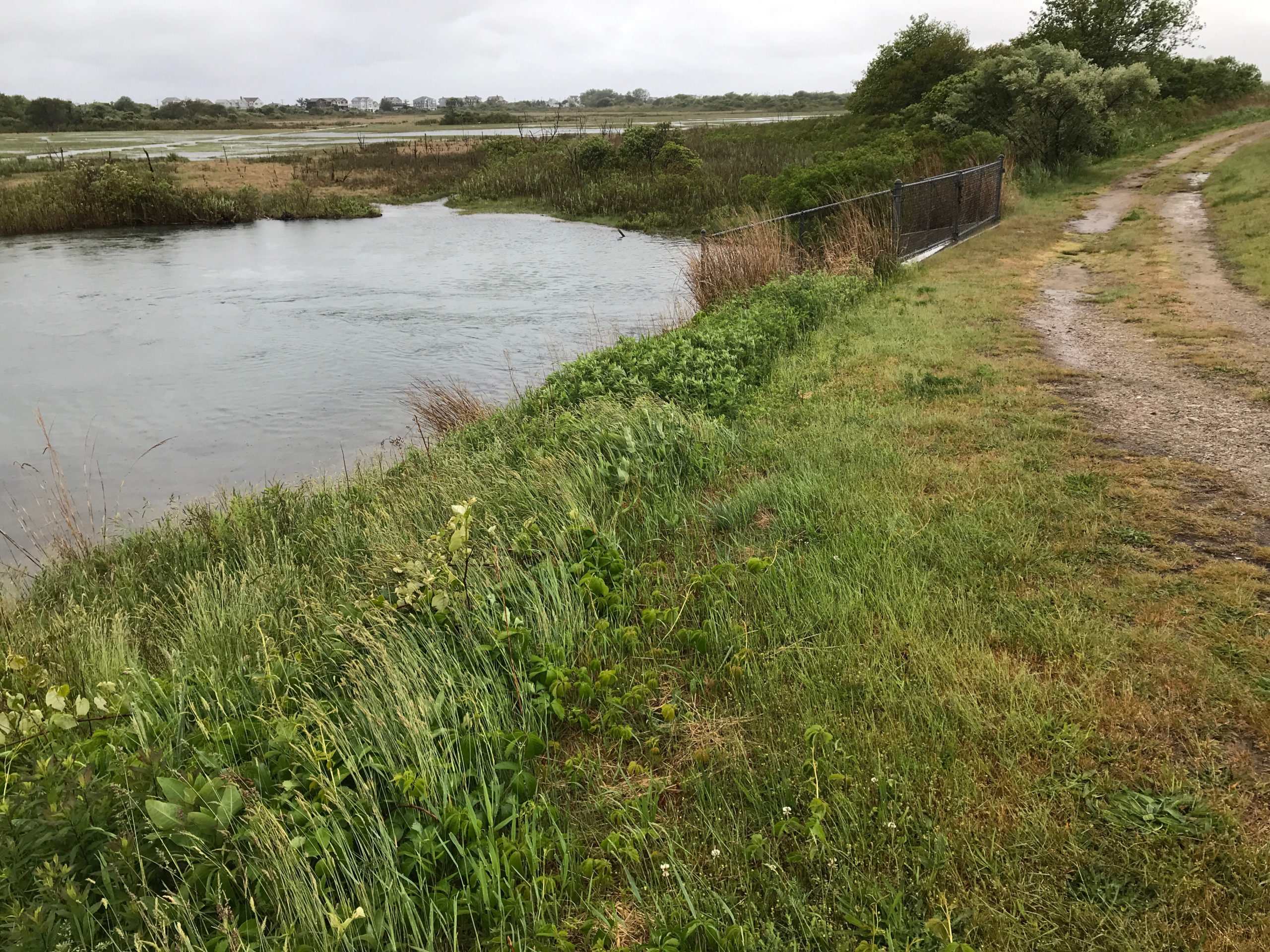
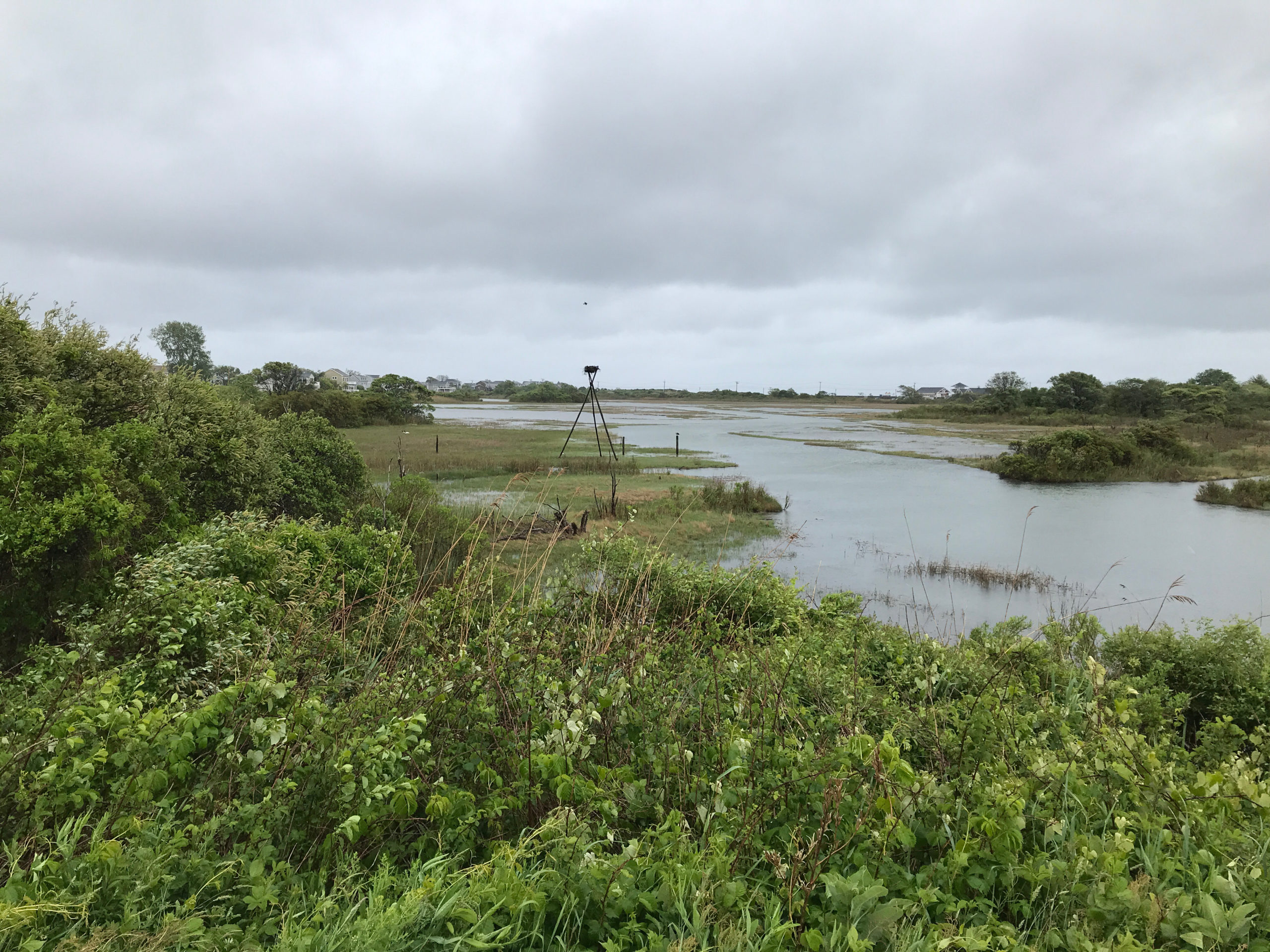
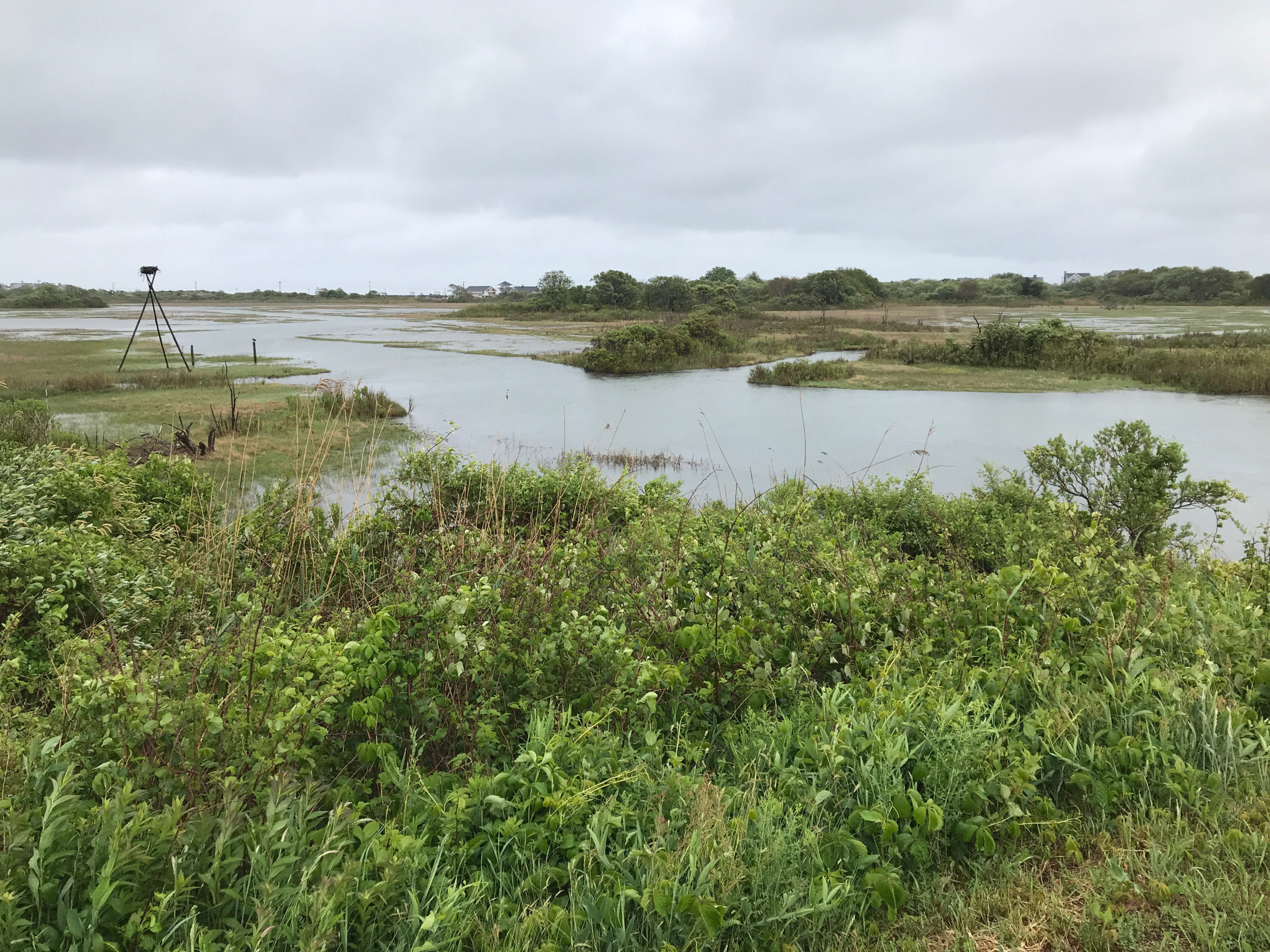
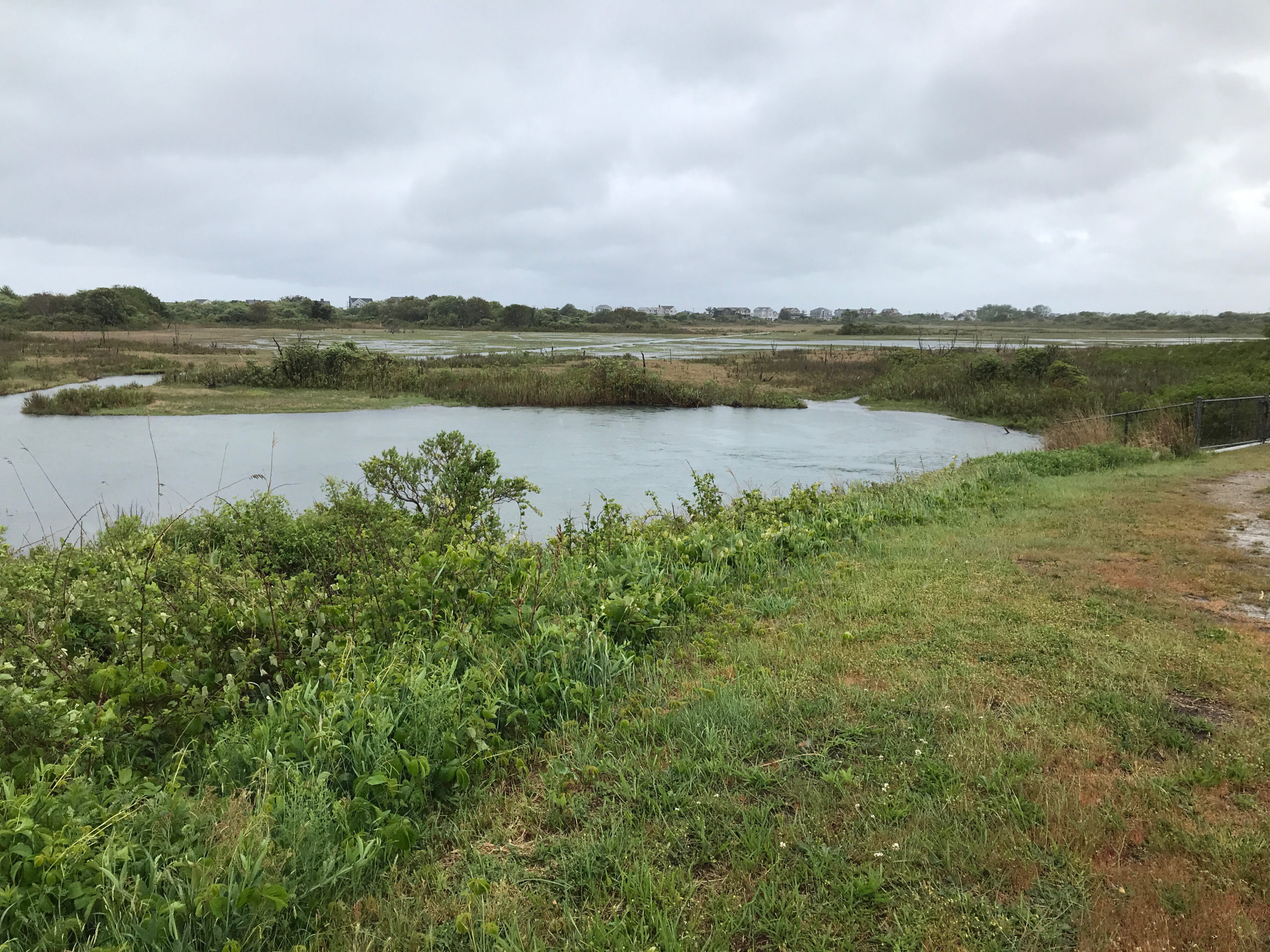
Coastal resources in/directly adjacent to project footprint:
- salt marsh (estuarine/protected)
Project elevation:
- above mean high water (MHW)
Coastal infrastructure present at site:
- culvert
- multi-use path or road
Site stability:
- unknown
Vegetative cover of project area:
- moderate
Dominant vegetative type within project area: grasses
Tidal Overview
![]() 0 hours 36 minutes after high tide
0 hours 36 minutes after high tide
Data from NEWPORT (12.9 miles away)
Water Level (at time of report): 11:38 am, 4.1' MLLW
High Tide (Predicted): 10:58 am, 3.9' MLLW
High Tide (Observed): 10:48 am, 4.4' MLLW
Loading NOAA Tide Data…
■ Observed
■ Predicted water level
⬤ Report time
Weather Overview
Wind Speed: 14.2 MPH
Wind Direction: NE (47°)
Temperature: 47℉
Rainfall (Calendar Day): 0.053"
Rainfall (Past 24 Hours): 1.86"
1 Comment. Leave new
This is the bird sanctuary on the south side of the escape rd. I don’t think I have ever seen the water so high. There is strong flow through the culvert under the road and the opposite side had water covering almost all of the salt marsh on the other side.