Cumberland County
Bridgeton, NJ
High Water Report
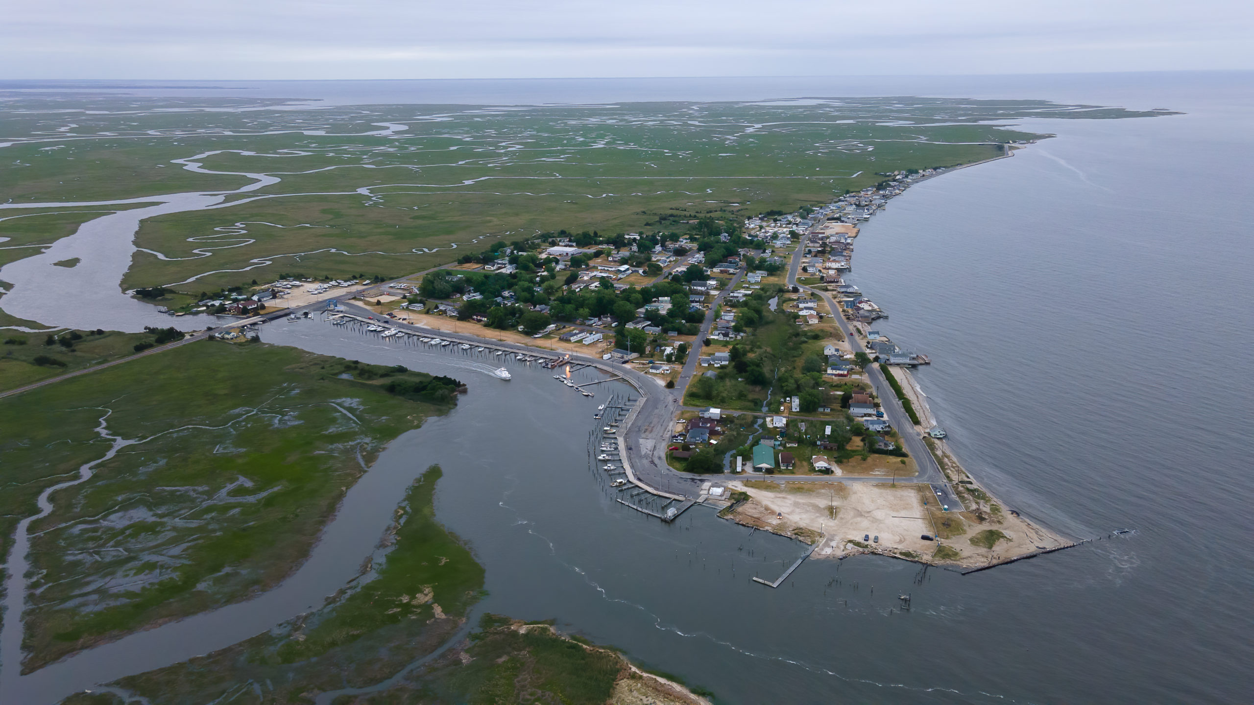
User Submitted Data
Source of Flooding:
- Bay
Cause of Flooding:
- High Tide
Tidal Overview
![]() 0 hours 27 minutes before high tide
0 hours 27 minutes before high tide
Data from Fortescue Creek (0.4 miles away)
All heights shown relative to Mean Lower Low Water (MLLW): the daily low tide level averaged over a 19-year period.
High Tide (Predicted): 8:39 pm, 7.3' MLLW
Loading NOAA Tide Data…
■ Observed
■ Predicted water level
⬤ Report time
The accuracy of the predicted tides at the photo location may vary depending on distance from the nearest tide station and due to wind, rain, and other short-term meteorological events.
Weather Overview
Wind Speed: 8.6 MPH
Wind Direction: ESE (104°)
Temperature: 60℉
Rainfall (Calendar Day): 0"
Rainfall (Past 24 Hours): 0"
1 Comment. Leave new
Hi John,
I am a Manhattan based photographer documenting communities impacted by flooding. I would love to connect and hear about your experiences with flooding in Bridgeton. Please contact me at emilyjaynealexander@gmail.com