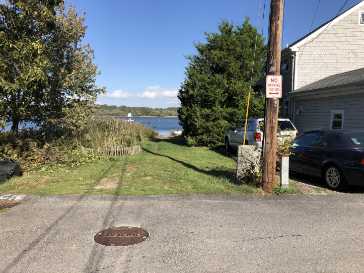
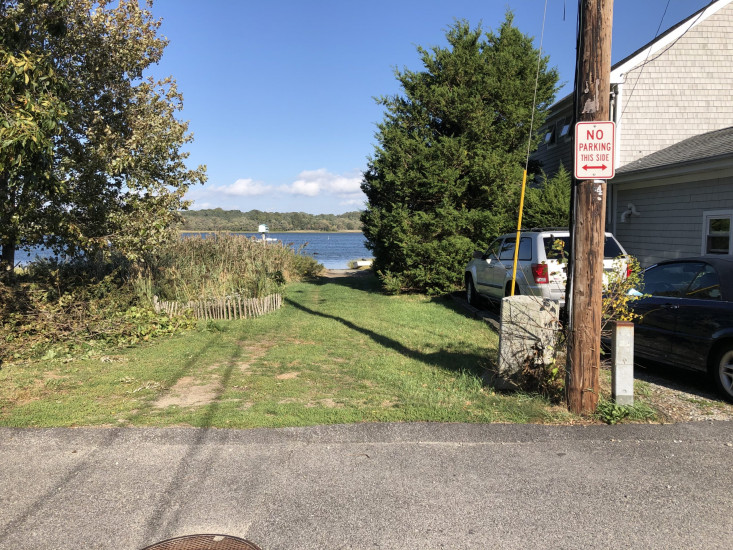
Photo description: This site is at the Slocum Road North Street interesection. it is being used as a boat ramp. i did not get out of my car to photograph, no spots to park. Does not have as much deterioration due to the short street (north street) leading to it. From the looks of he aerial map there could be some improvements here
Coastal resources in/directly adjacent to project footprint:
- salt marsh (estuarine/protected)
- intertidal (mud)
Project elevation:
- below MLW
Coastal infrastructure present at site:
- multi-use path or road
Site stability:
- eroding
Vegetative cover of project area:
- moderate (25-75%)
Dominant vegetative type within project area: grasses
Human impacts at project site:
- vehicles
Marine-related impacts:
- boat haul-out (motorized and non-motorized)
- wrack
- marine debris
You must be logged in to post a comment.