Westerly, RI
Misquamicut
Coastal Resilience Report
User Submitted Data
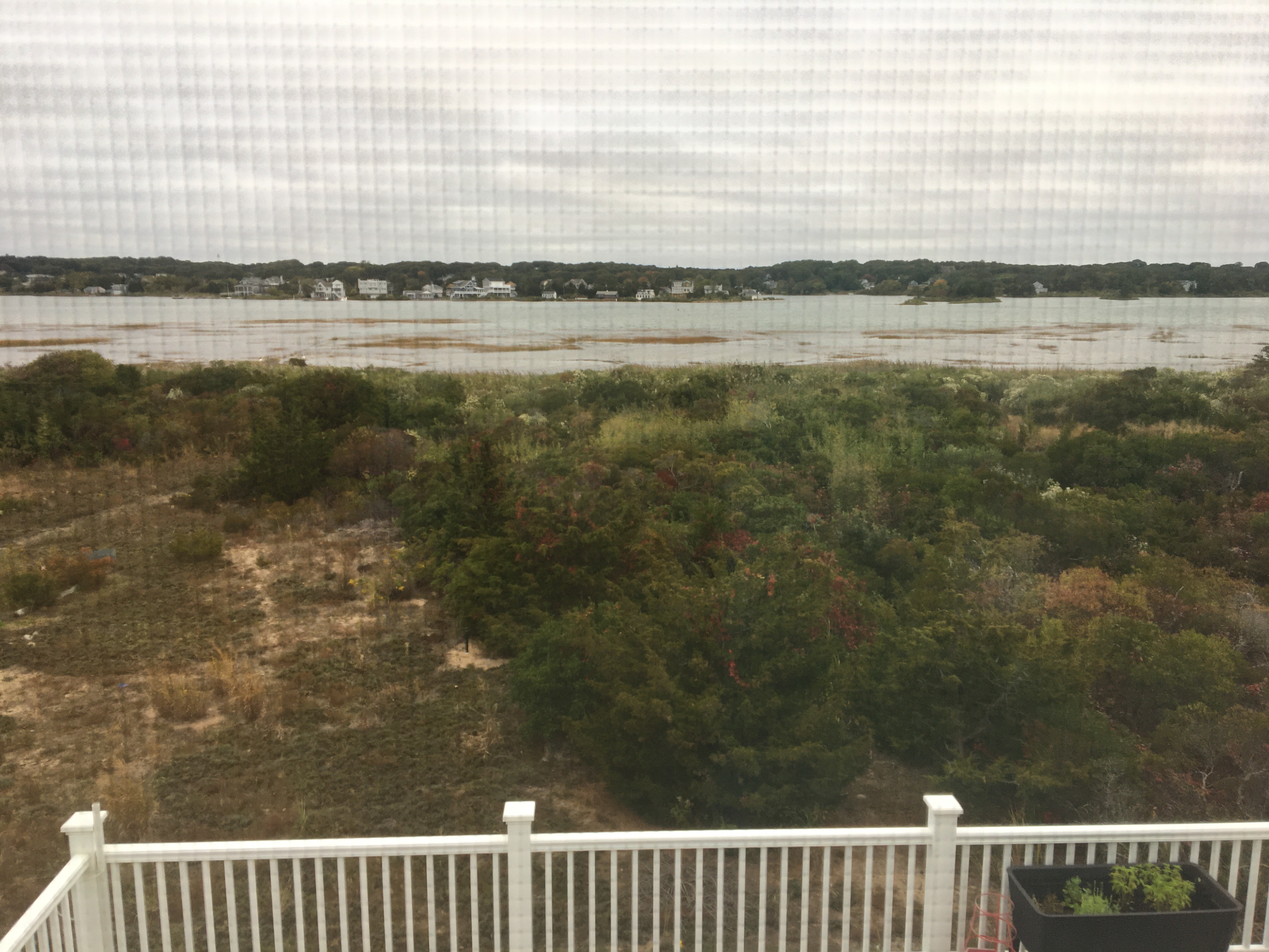
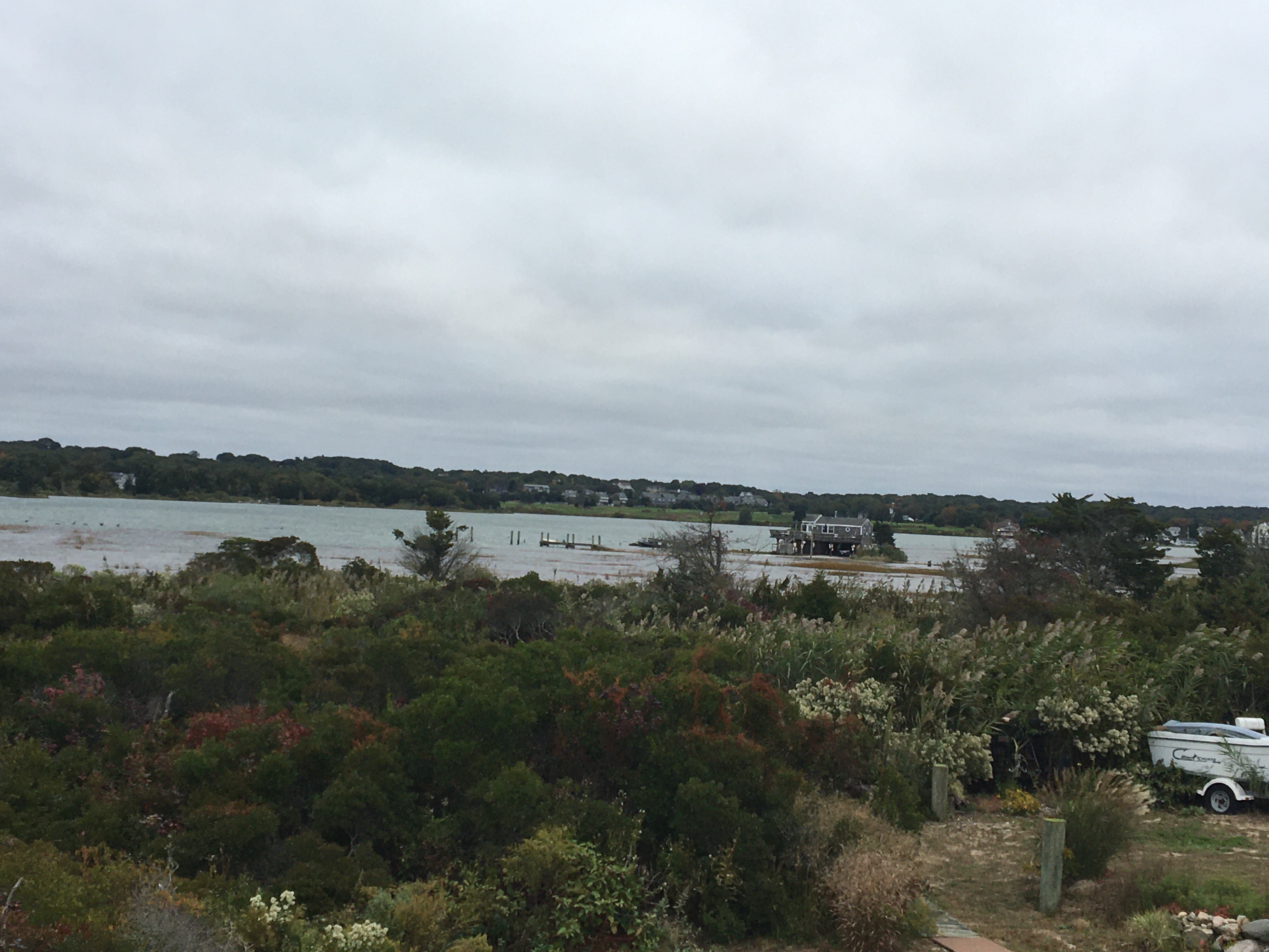
Photo description: This was after a rain and wind storm: Looking at Winnapaug Pond through the kitchen window from our house on Atlantic Avenue, Westerly, RI. The salt marsh and the access road to the house toward the right was totally under water. The dock was almost under water. The poles that hold a boat in place were tilted from the wind.
Coastal resources in/directly adjacent to project footprint:
- salt marsh (estuarine/protected)
Coastal infrastructure present at site:
- multi-use path or road
Vegetative cover of project area:
- dense (>75%)
Dominant vegetative type within project area: grasses
Human impacts at project site:
- foot traffic
- vehicles
Tidal Overview
![]() 0 hours 2 minutes after high tide
0 hours 2 minutes after high tide
Data from Weekapaug Point, Block Island Sound (1.2 miles away)
High Tide (Predicted): 8:11 am, 2.7' MLLW
Loading NOAA Tide Data…
Weather Overview
Wind Speed: 12.7 MPH
Wind Direction: N (10°)
Temperature: 57℉
Rainfall (Calendar Day): 0"
Rainfall (Past 24 Hours): 0.02"