Barrington, RI
Byway Rd
Coastal Resilience Report
User Submitted Data
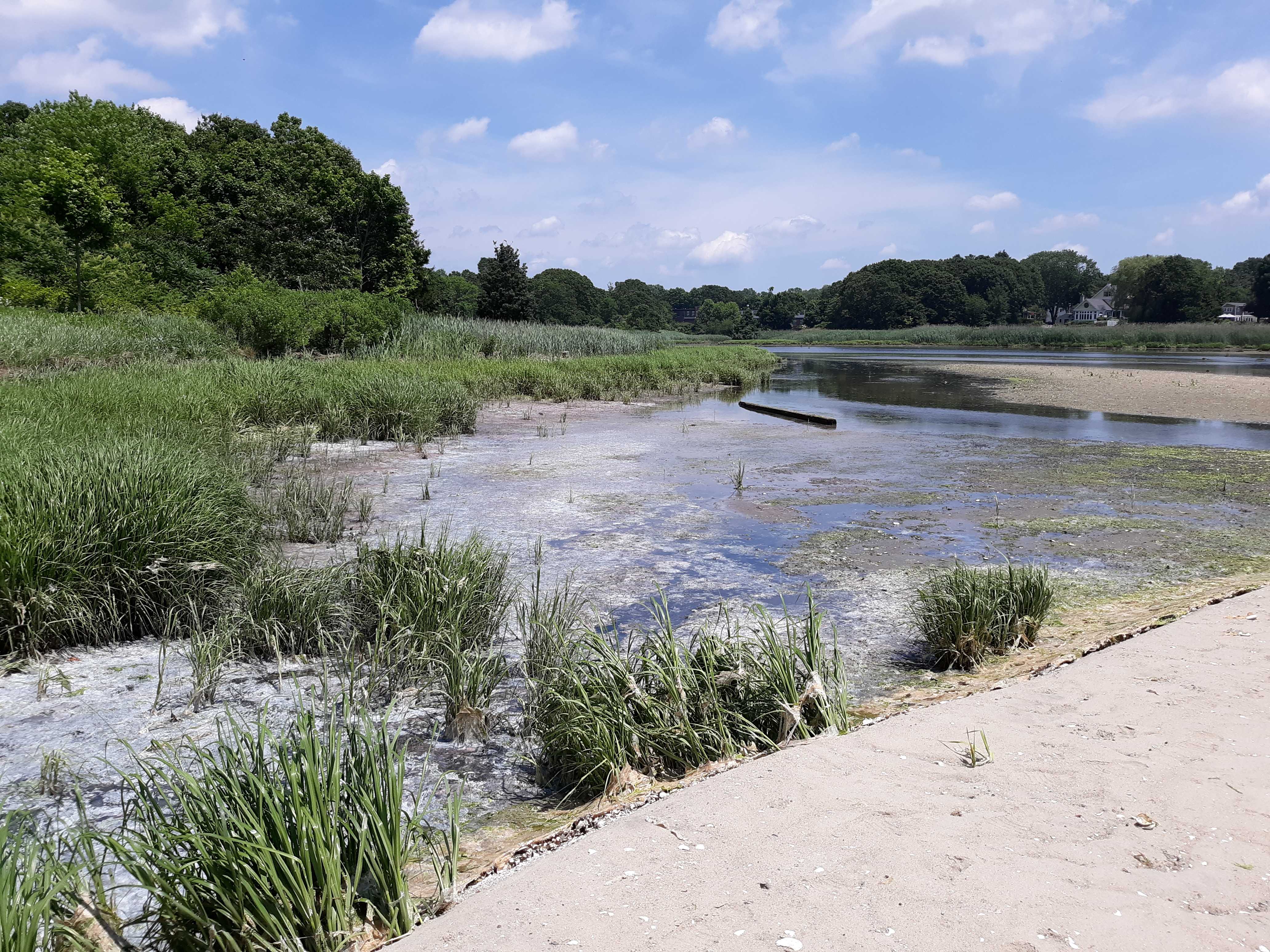
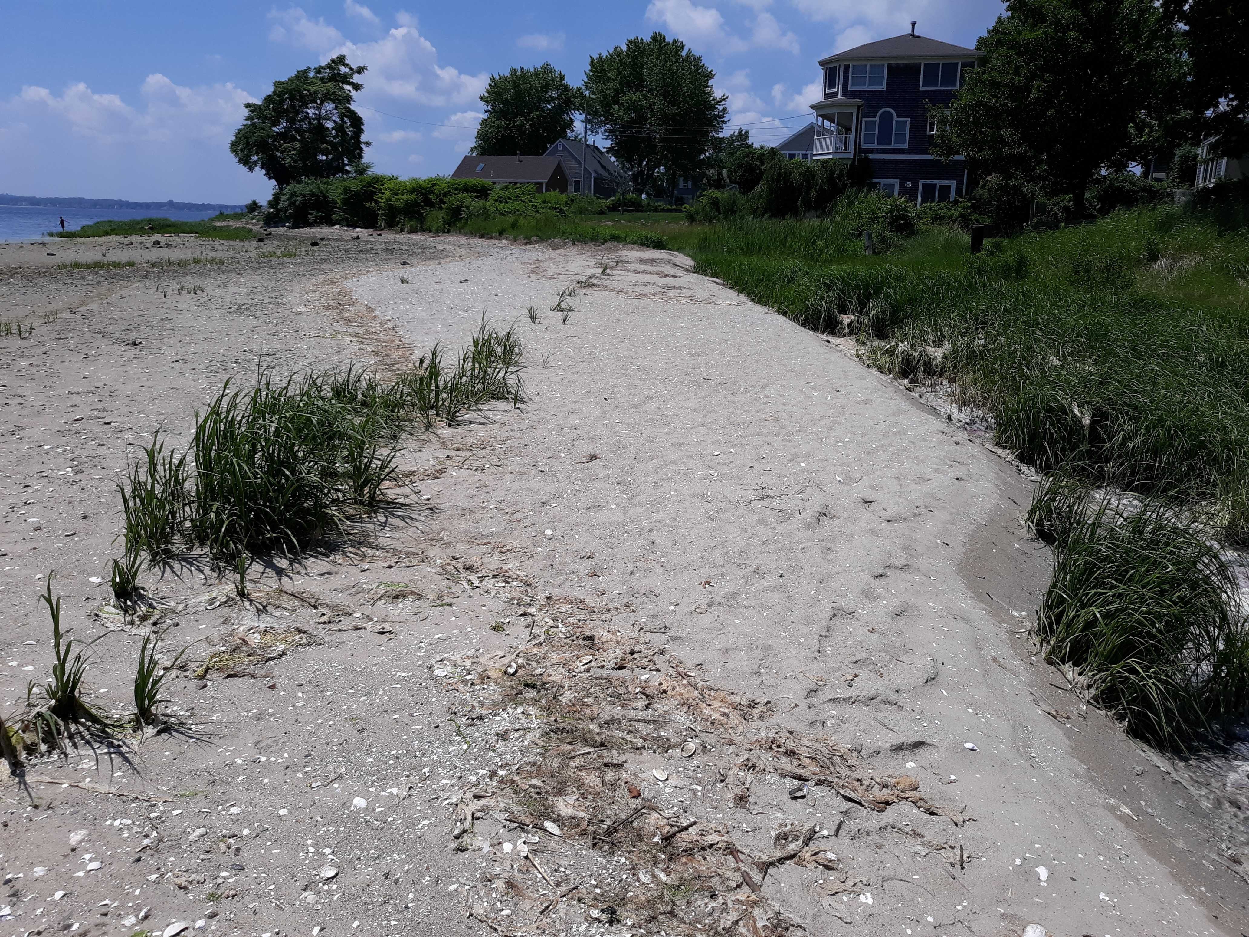
Coastal resources in/directly adjacent to project footprint:
- beach (sandy)
- coastal bank
- salt marsh (fronting beach)
- salt marsh (estuarine/protected)
- intertidal (sand)
Project elevation:
- above mean high water (MHW)
Coastal infrastructure present at site:
- other
Type of other obstruction: Reconfigured spit
Site stability:
- eroding
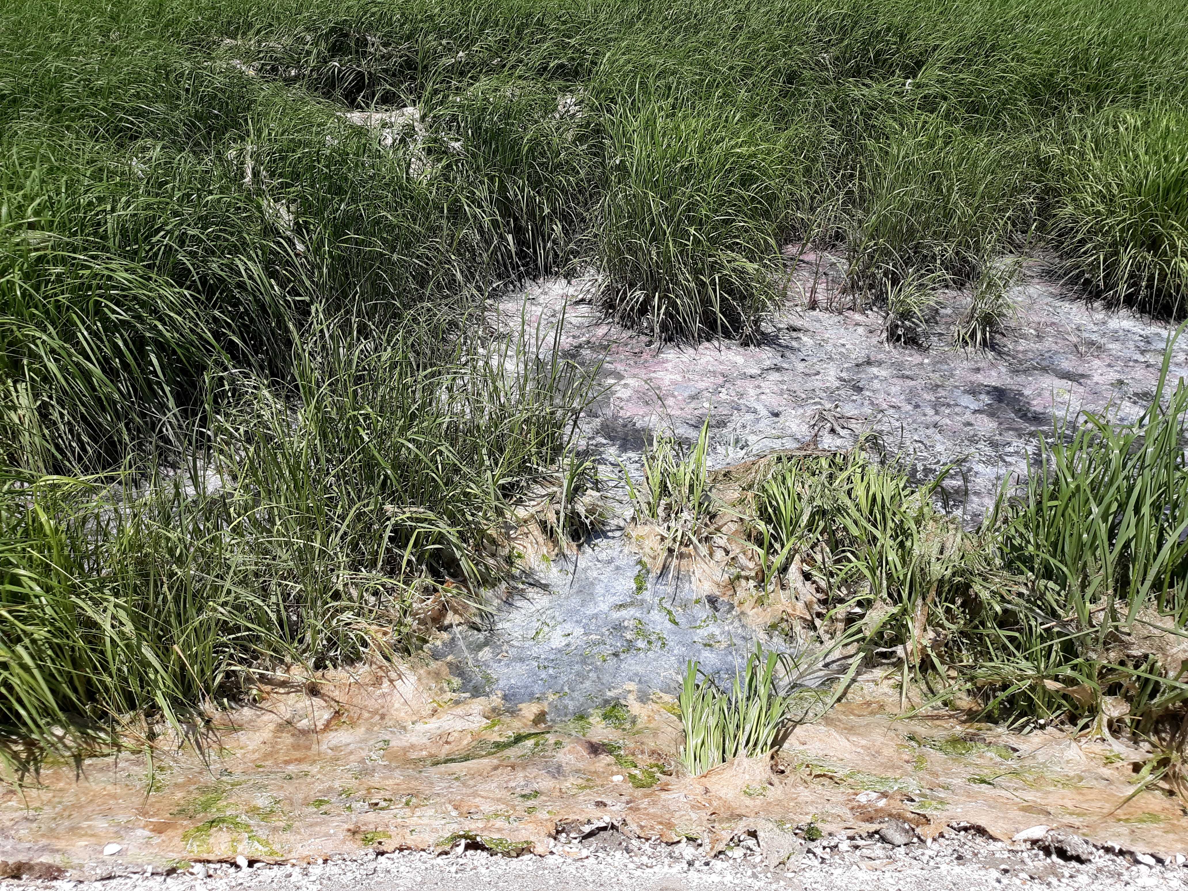
Vegetative cover of project area:
- moderate (25-75%)
Dominant vegetative type within project area: grasses
Displaced/unanchored and degraded project materials:
- other
Other displaced/unanchored materials: Spit migrating onto marsh
Marine-related impacts:
- wrack
Tidal Overview
![]() 4 hours 3 minutes before high tide
4 hours 3 minutes before high tide
Data from Conimicut Light (2 miles away)
Water Level (at time of report): 12:15 pm, 2.1' MLLW
High Tide (Predicted): 4:10 pm, 4.1' MLLW
High Tide (Observed): 4:18 pm, 4.4' MLLW
Loading NOAA Tide Data…
Weather Overview
Wind Speed: 3.2 MPH
Wind Direction: NNE (32°)
Temperature: 83℉
Rainfall (Calendar Day): 0"
Rainfall (Past 24 Hours): 0"
Algae in marsh