Washington Rd

Barrington, RI


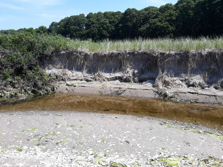
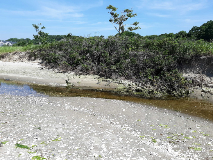
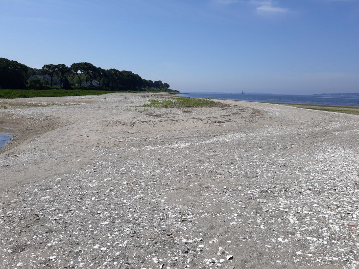
Coastal resources in/directly adjacent to project footprint:

  • beach (sandy)
  • dune
  • intertidal (sand)

Project elevation:

  • above mean high water (MHW)

Coastal infrastructure present at site:

  • none

Site stability:

  • eroding

Vegetative cover of project area:

  • dense (>75%)

Dominant vegetative type within project area: grasses

Other displaced/unanchored materials: Breached

Human impacts at project site:

  • other

Other human impacts: Breached inlet


06/27/2019 | 10:33 am

Tidal Overview

5 hours 45 minutes before high tide

Data from Conimicut Light (1.3 miles away)

Water Level (at time of report): 10:33 am, 1.5'

High Tide (Predicted): 4:10 pm, 4.1'

High Tide (Observed): 4:18 pm, 4.4'

Observed Predicted water level Report time

Weather Overview

Wind Speed: 4.7 MPH

Wind Direction: NNE (20°)

Temperature: 80℉

Rainfall (Calendar Day): 0"

Rainfall (Past 24 Hours): 0"

(Click here for full weather details)


You must be logged in to post a comment.