Newport, RI
Thames St
Storm Reporter Report
Damage Reported
User Submitted Data
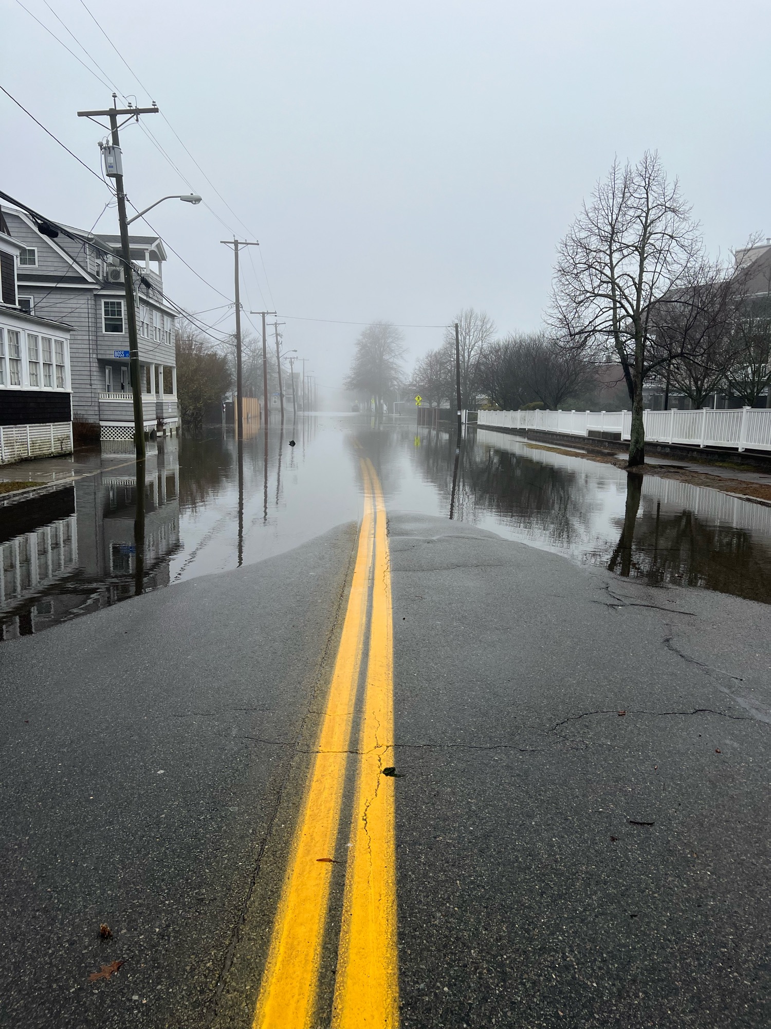
Roads
Street/Road: Wellington Ave.
Specific Damage:
- Impassable (flood water)
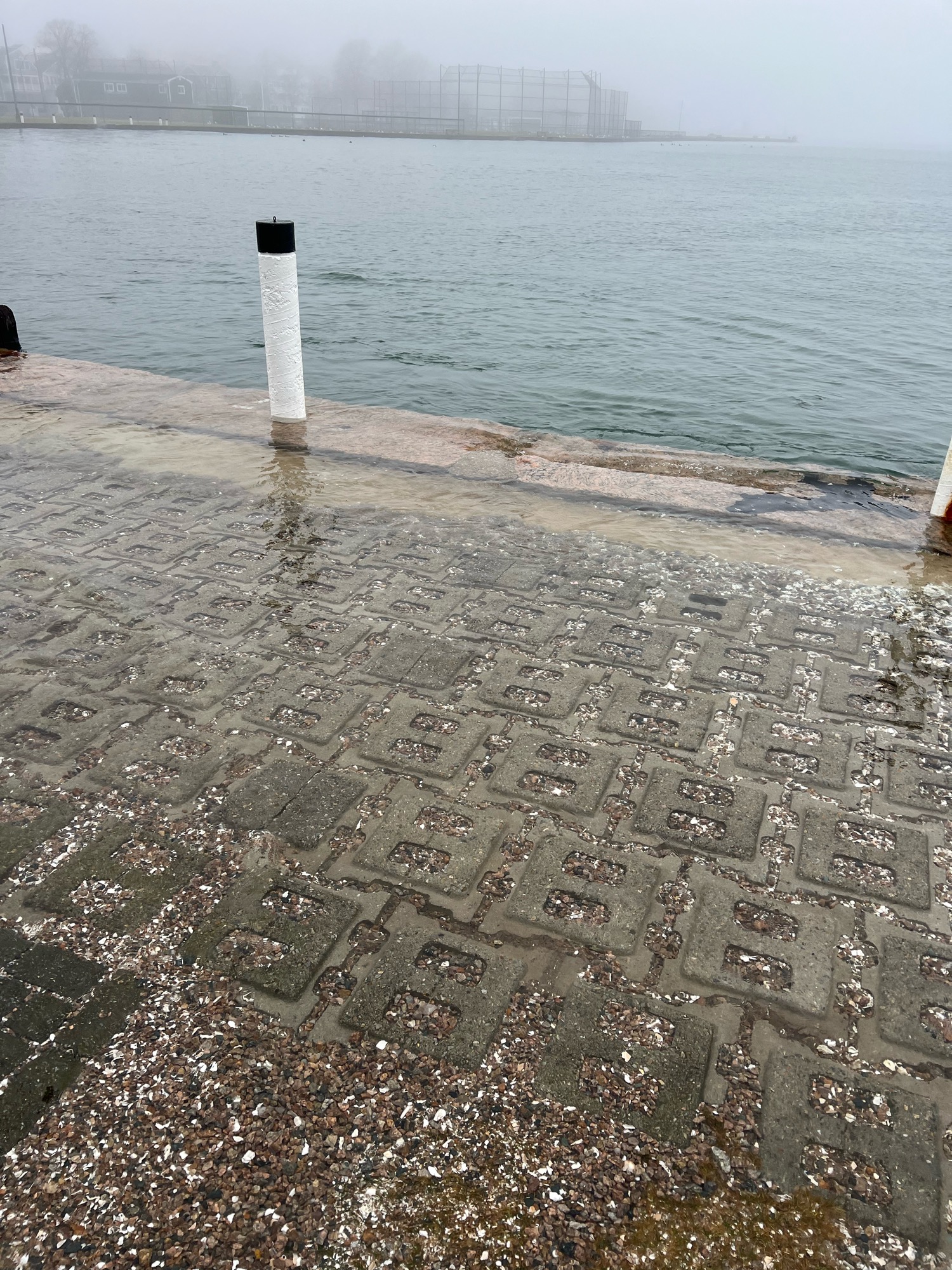
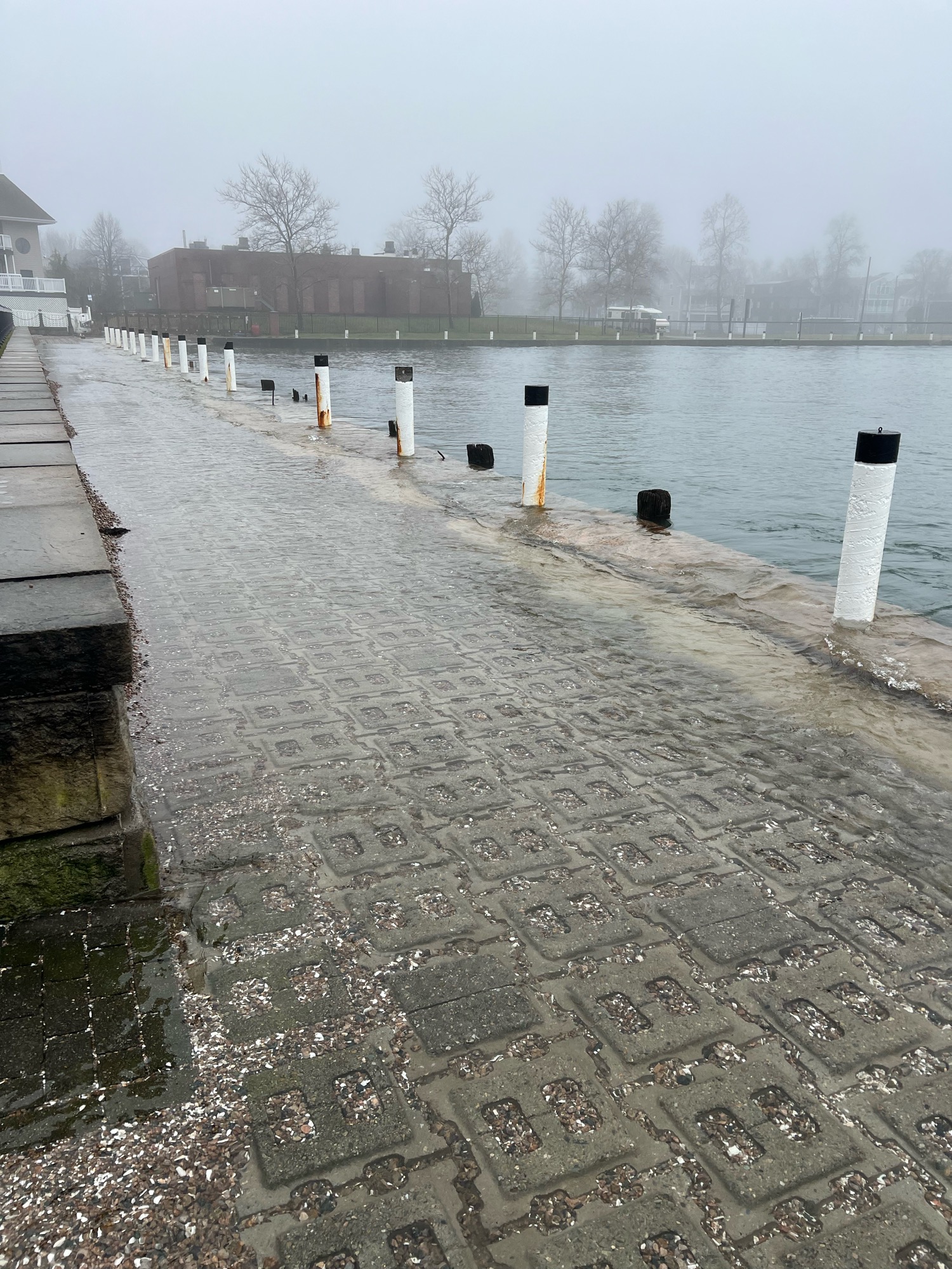
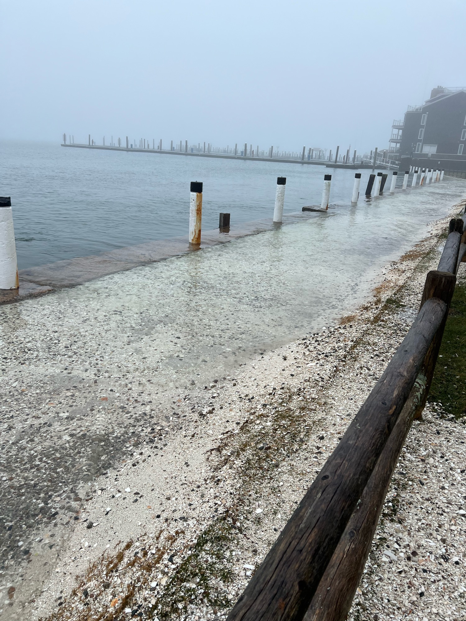
Marinas and Harbors
Buildings
Hazardous Materials
Beach
Coastal Structures
Foot/Cycling Paths
Natural Resources
Current Response
Response:
- None
Tidal Overview
![]() 2 hours 0 minutes after high tide
2 hours 0 minutes after high tide
Data from NEWPORT (2 miles away)
Water Level (at time of report): 10:54 am, 5.9' MLLW
High Tide (Predicted): 8:55 am, 4.3' MLLW
High Tide (Observed): 8:54 am, 7' MLLW
Loading NOAA Tide Data…
■ Observed
■ Predicted water level
⬤ Report time
Weather Overview
Wind Speed: 15.1 MPH
Wind Direction: S (179°)
Temperature: 54℉
Rainfall (Calendar Day): 0.011"
Rainfall (Past 24 Hours): 0.9"
You must be logged in to post a comment.