Narragansett, RI
Middlebridge Rd
Storm Reporter Report
Damage Reported
User Submitted Data
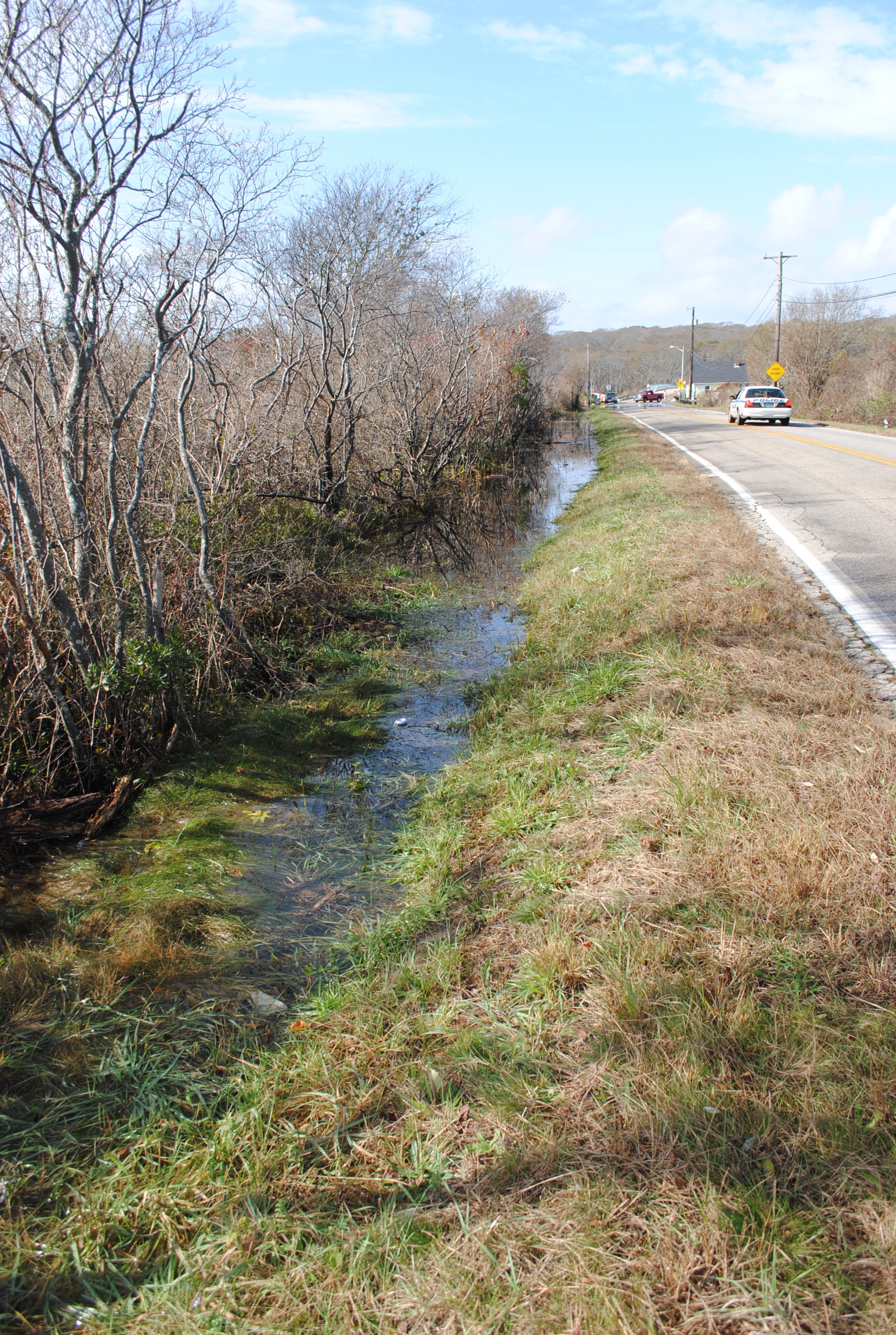
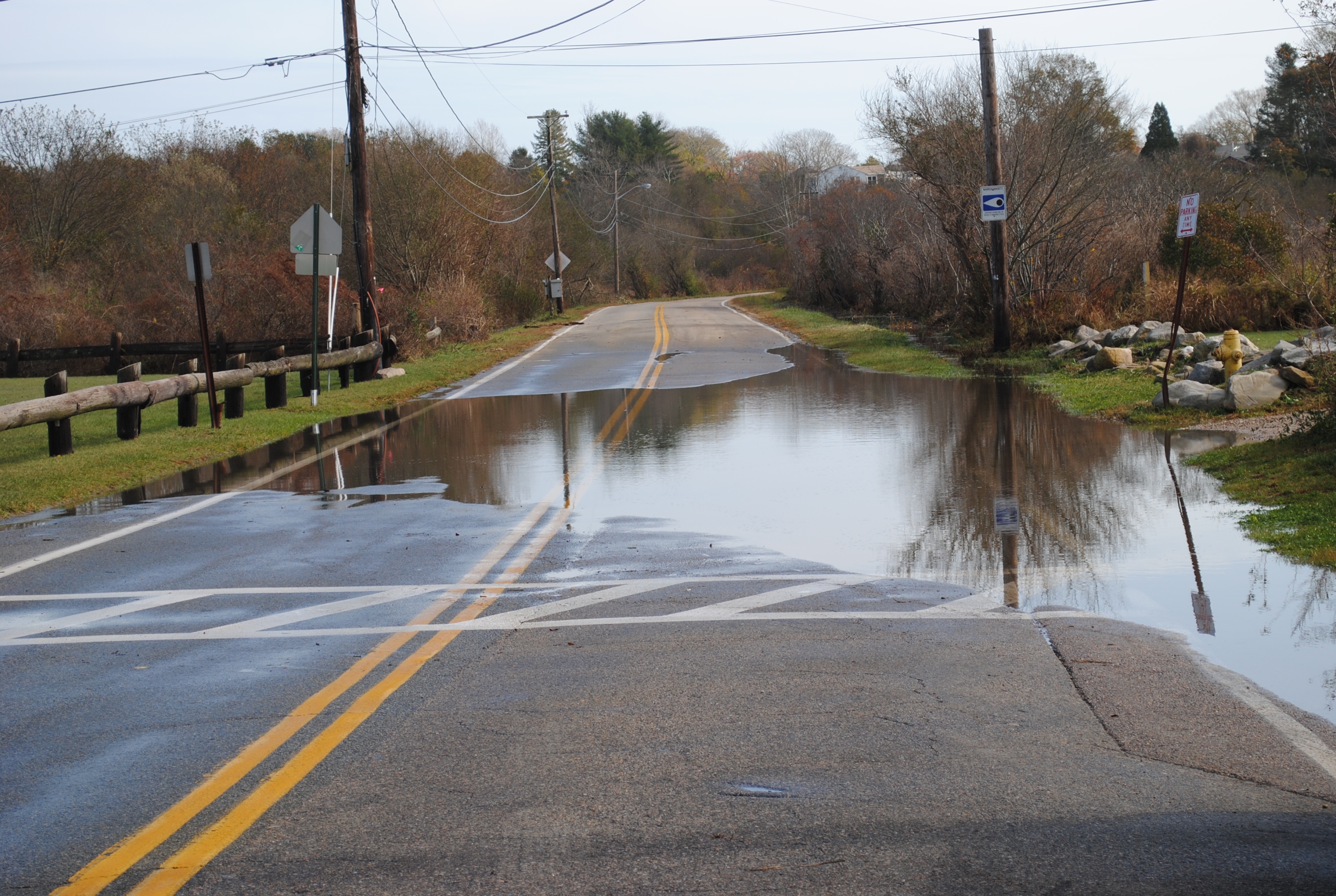
Roads
Street/Road: Unspecified
Specific Damage:
- Impassable (flood water)
- Impassable (overwash)
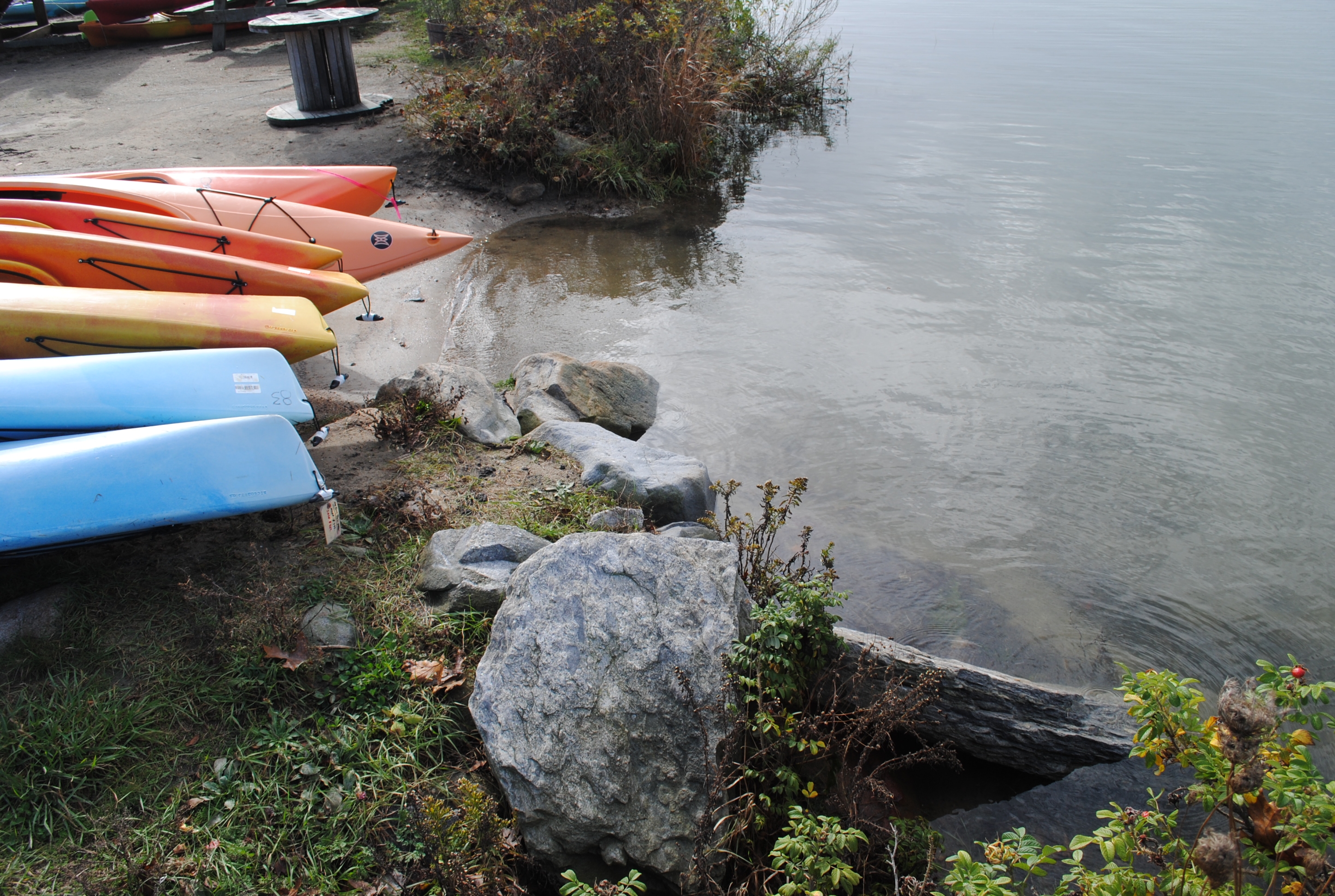
Marinas and Harbors
Specific Damage:
- Displaced boats
Displaced boats: 0 boat
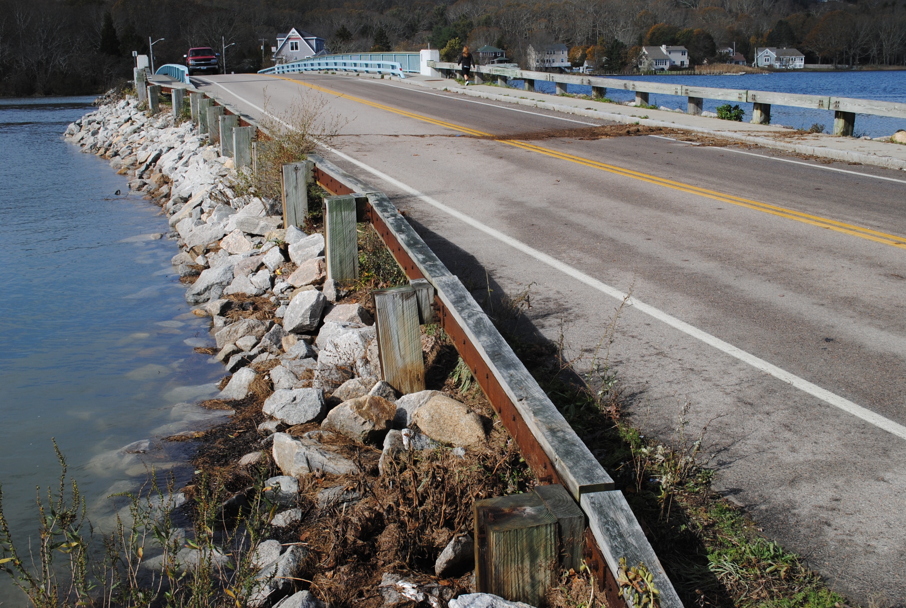
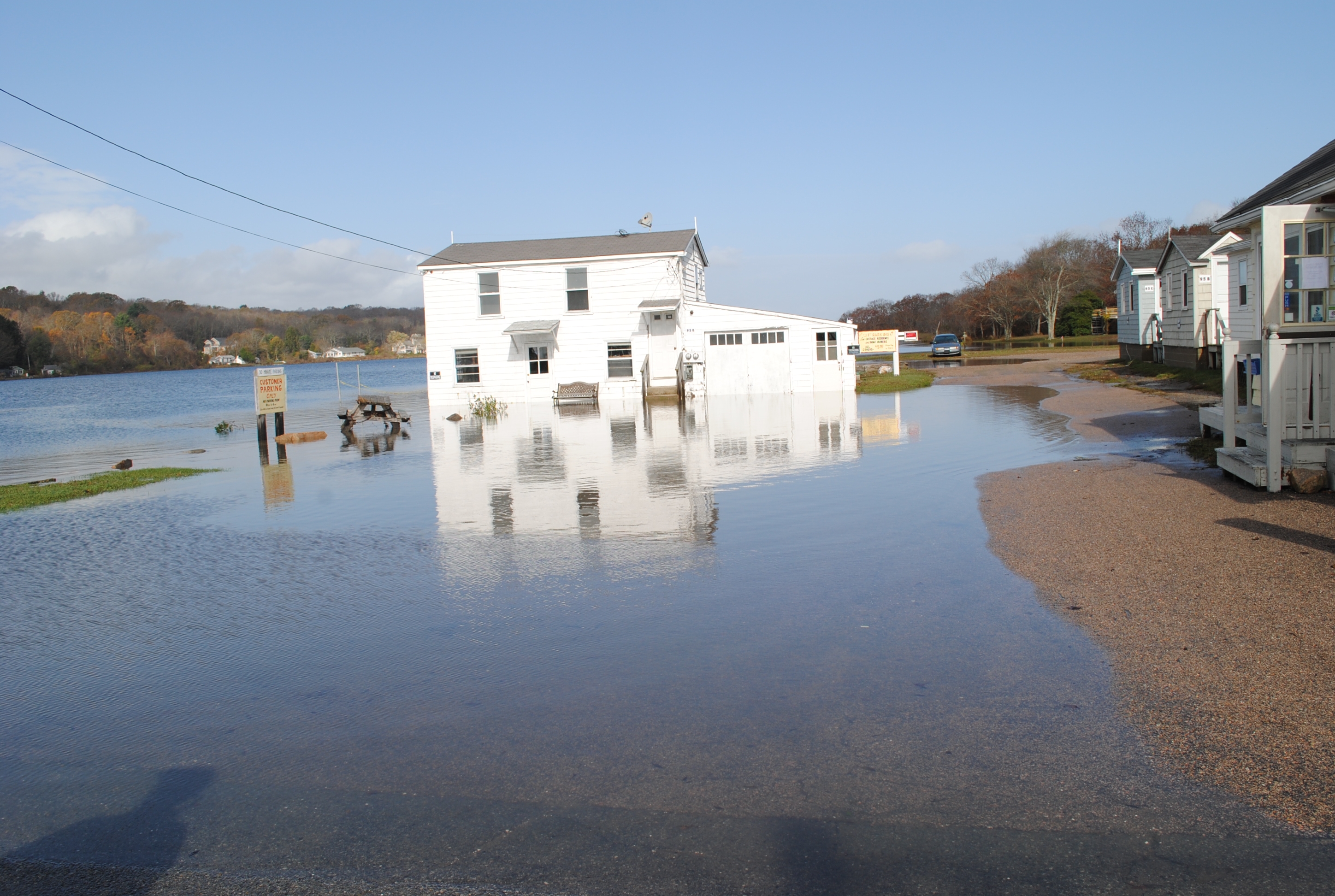
Buildings
Street: bridge
Specific Damage:
- Water flow around or under buildings
Hazardous Materials
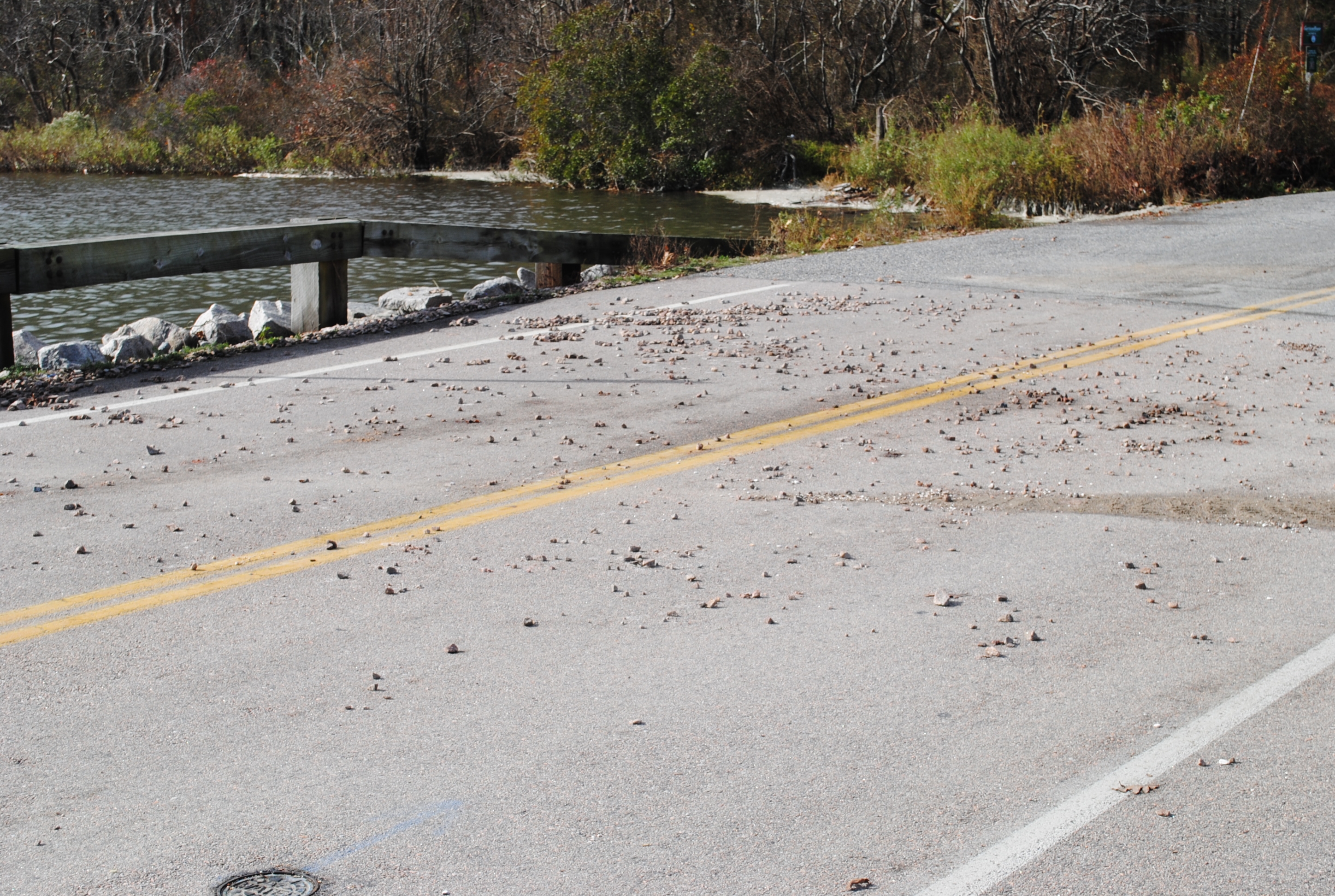
Beach
Imapacts Reported: Y
Coastal Structures
Specific Damage:
- Splashover
Foot/Cycling Paths
Natural Resources
Specific Damage:
- Damaged sand fencing
- Overwashed beach/dune
Current Response
Response:
- Other
Specific response: cones road/bridge closed
Tidal Overview
![]() 3 hours 11 minutes after high tide
3 hours 11 minutes after high tide
Data from NEWPORT (7.4 miles away)
Water Level (at time of report): 11:45 am, 3.4' MLLW
High Tide (Predicted): 8:43 am, 4.1' MLLW
High Tide (Observed): 8:36 am, 5.7' MLLW
Loading NOAA Tide Data…
■ Observed
■ Predicted water level
⬤ Report time
Weather Overview
Wind Speed: 9.2 MPH
Wind Direction: SE (130°)
Temperature: 65℉
Rainfall (Calendar Day): 0"
Rainfall (Past 24 Hours): 0.09"
You must be logged in to post a comment.
superstorm sandy next day one hour after high tide