Portsmouth, RI
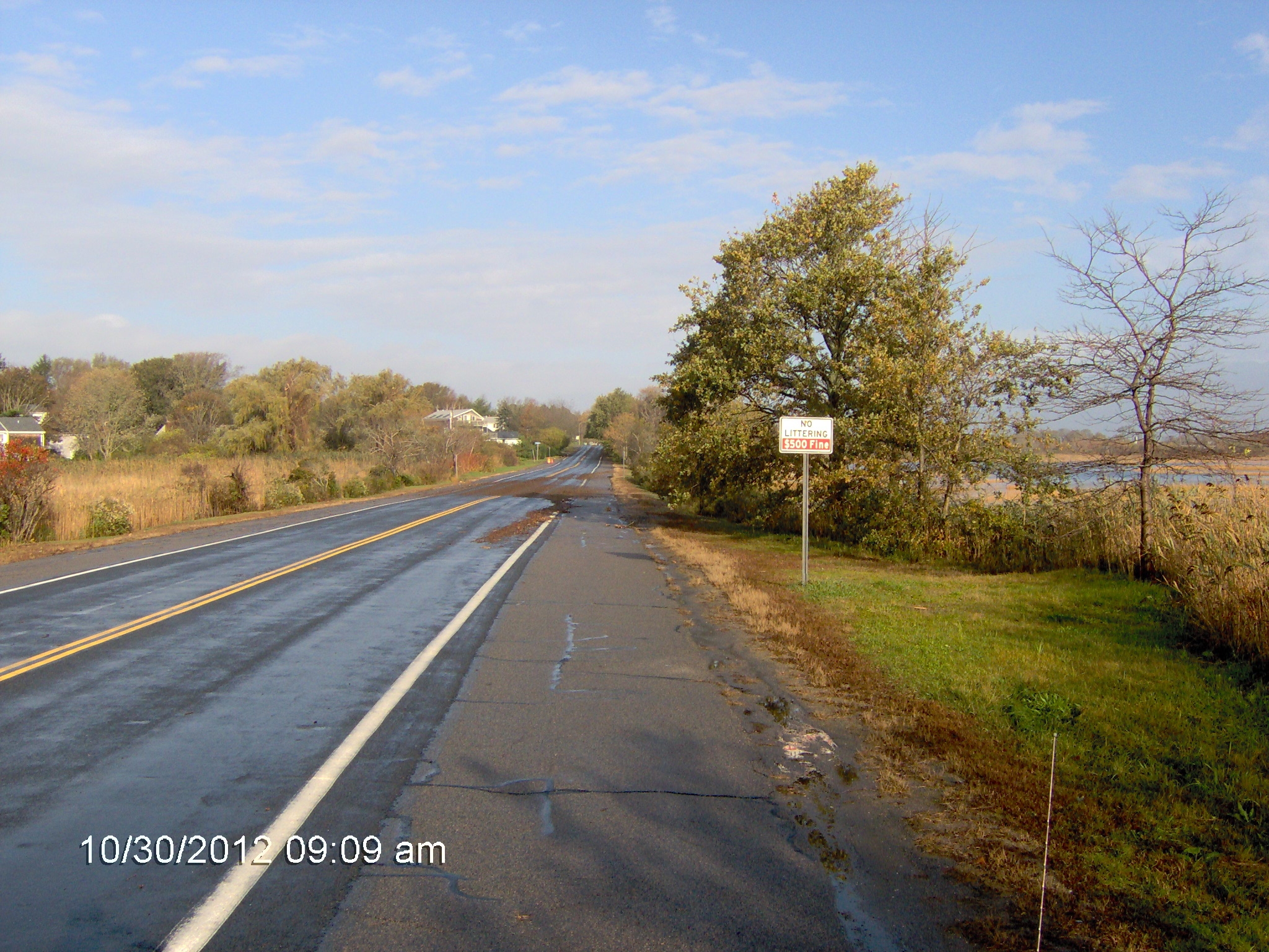
E Main Rd
Storm Reporter Report
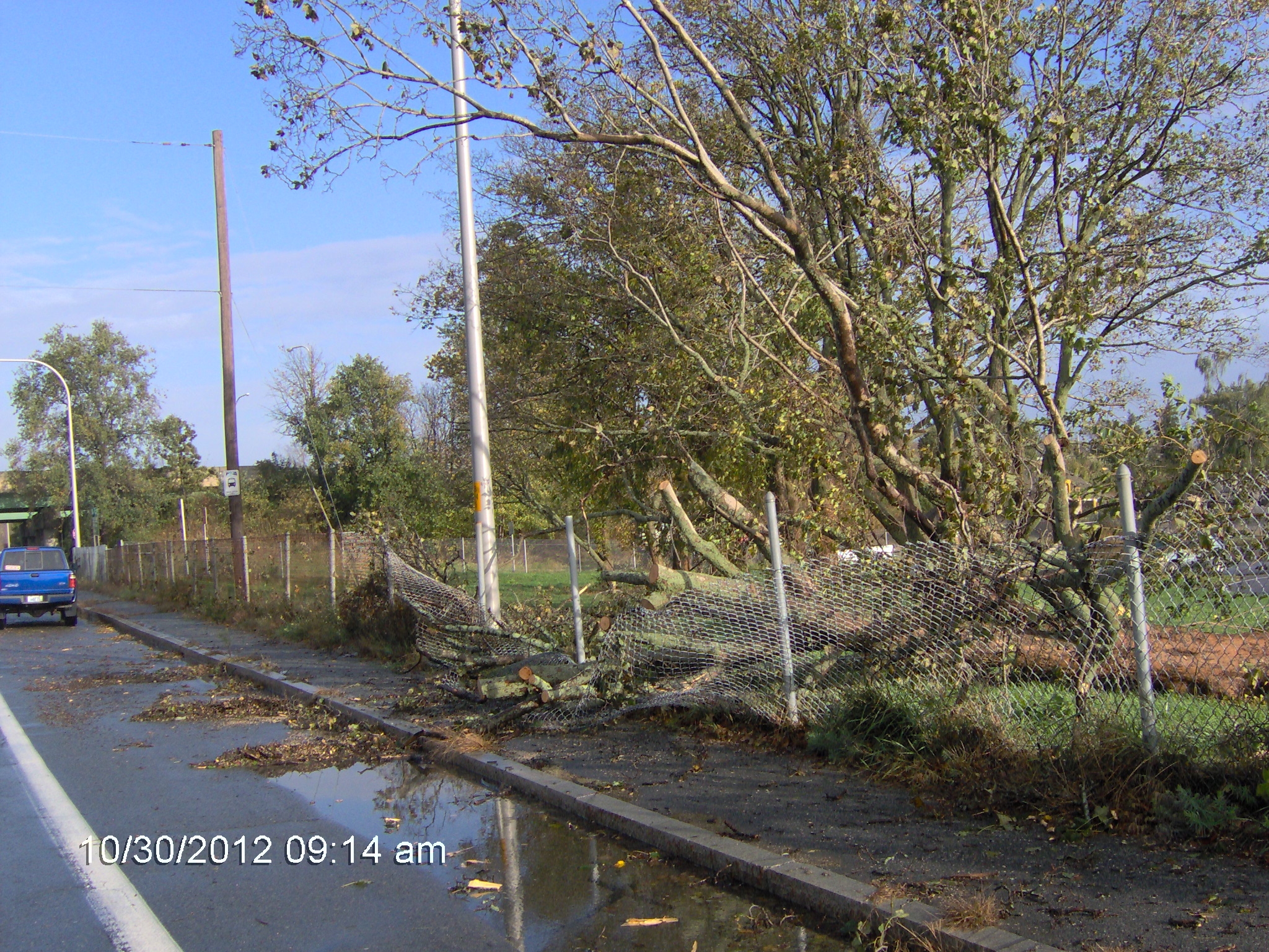
Damage Reported
User Submitted Data
Roads
Street/Road: Unspecified
Specific Damage:
- Splashover
Marinas and Harbors
Buildings
Hazardous Materials
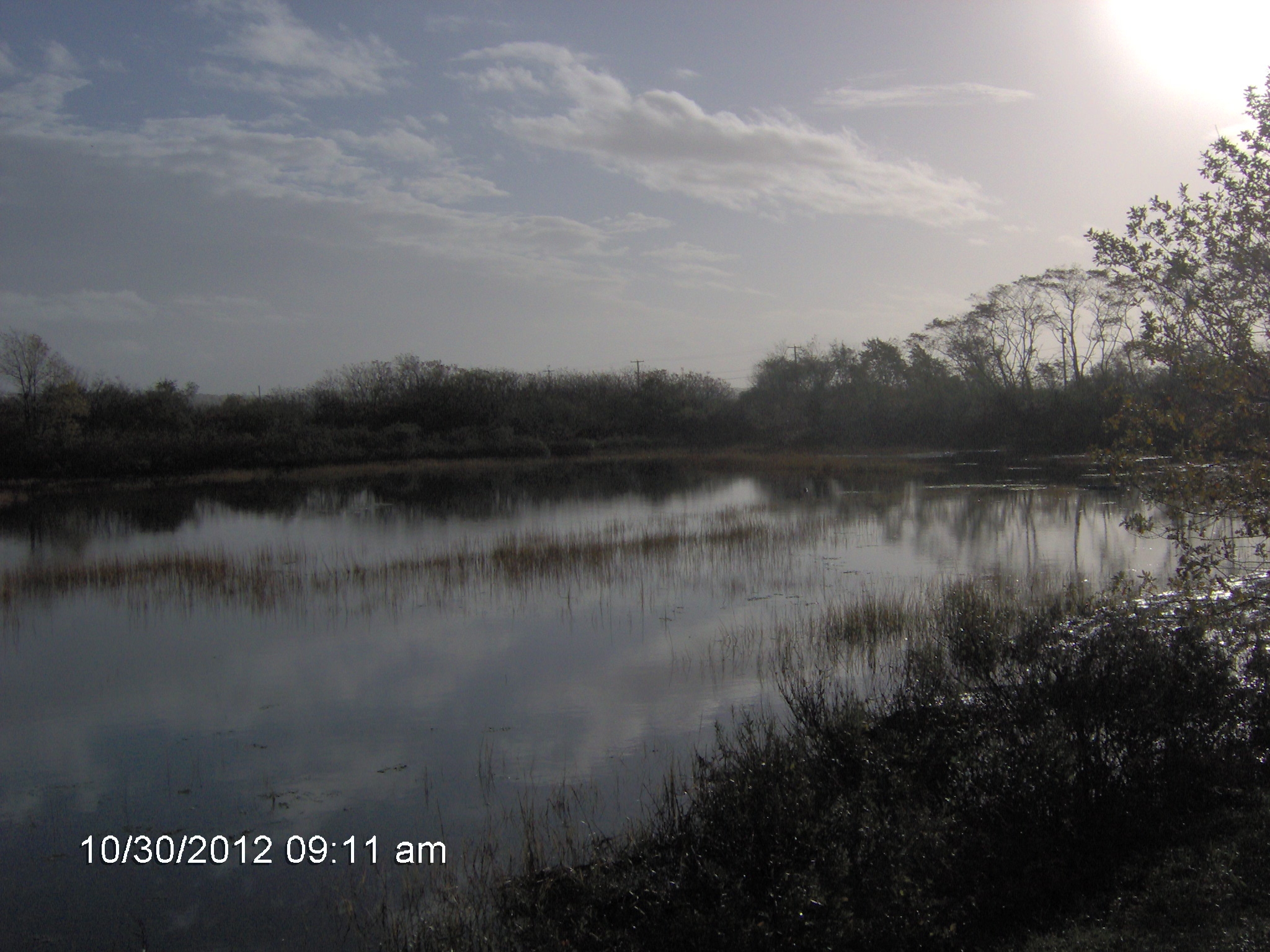
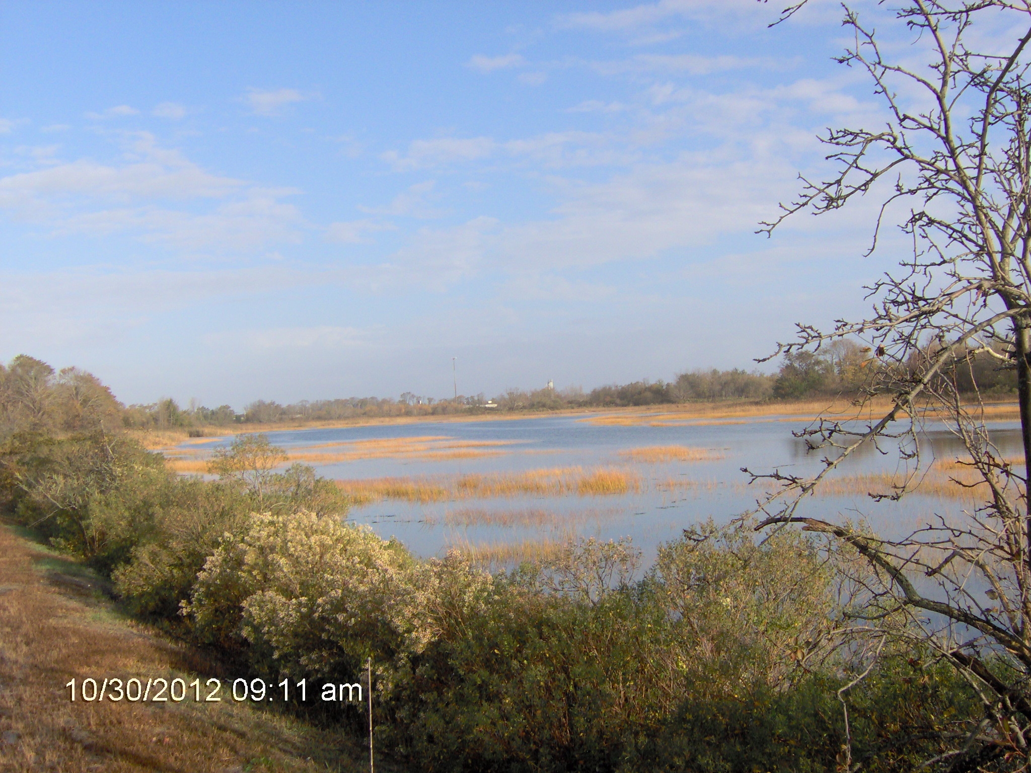
Beach
Coastal Structures
Foot/Cycling Paths
Natural Resources
Current Response
Response:
- Road clearing
Tidal Overview
![]() 0 hours 17 minutes after high tide
0 hours 17 minutes after high tide
Data from NEWPORT (7.9 miles away)
Water Level (at time of report): 9:00 am, 5.6' MLLW
High Tide (Predicted): 8:43 am, 4.1' MLLW
High Tide (Observed): 8:36 am, 5.7' MLLW
Loading NOAA Tide Data…
■ Observed
■ Predicted water level
⬤ Report time
Weather Overview
Wind Speed: 6.6 MPH
Wind Direction: SSE (150°)
Temperature: 61℉
Rainfall (Calendar Day): 0"
Rainfall (Past 24 Hours): 0.73"
You must be logged in to post a comment.
Boyds Lane