
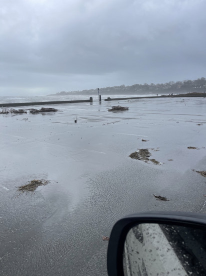
Roads
Street/Road: Unspecified
Specific Damage:
- Splashover
- Impassable (flood water)
Comments: Splashover dune and seawall, section of Memorial Blvd impassable
Marinas and Harbors
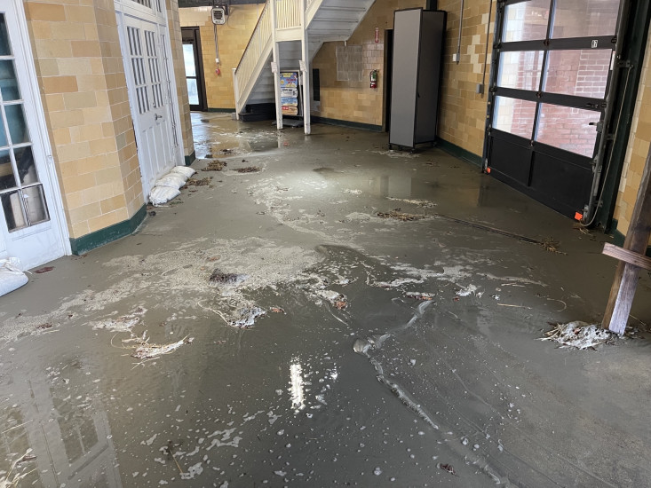
Buildings
Street: Memorial Blvd. Newport, RI
Specific Damage:
- Water flow around or under buildings
Comments: Water made its way into lower Rotunda Building.
Hazardous Materials
Beach
State: Accessible
Coastal Structures
Specific Damage:
- Collapsed bulkheads/seawalls
Comments: Collapsed concrete ramp from Boardwalk to beach proper
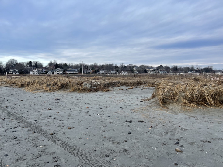
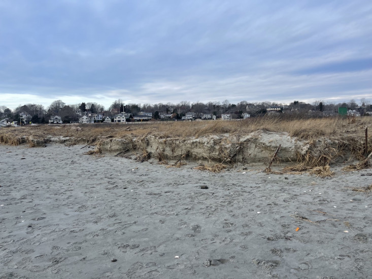
Natural Resources
Specific Damage:
- Damaged sand fencing
- Eroded beach
- Eroded dune
- Overwashed beach/dune
- Breached barrier beach
Comments: Approx 1000 feet of sand fencing damaged from flooding; appears that beach lost about 1 foot of sand the entire length of beach; severe dune erosion on western end of beach
Current Response
Response:
- Road clearing
You must be logged in to post a comment.
"Dune rebuilding to be considered for western end of beach."