Roads
Street/Road: Unspecified
Marinas and Harbors
Buildings
Hazardous Materials
Beach
State: Inaccessible
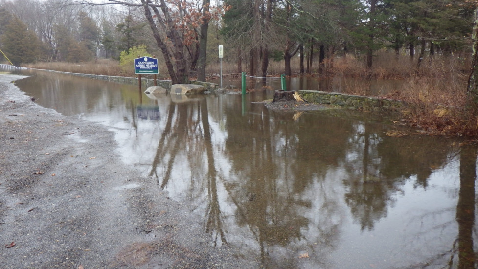
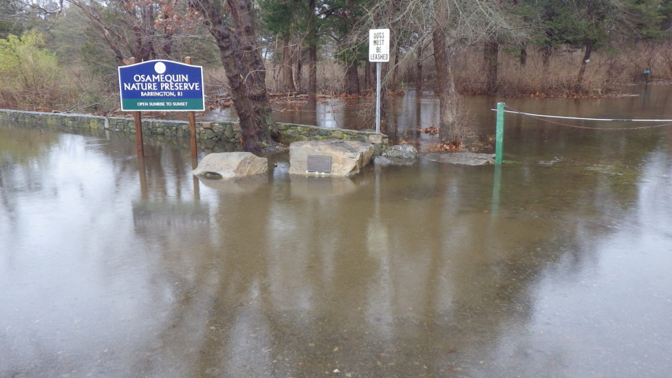
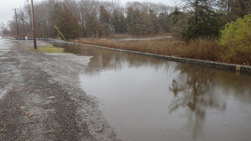
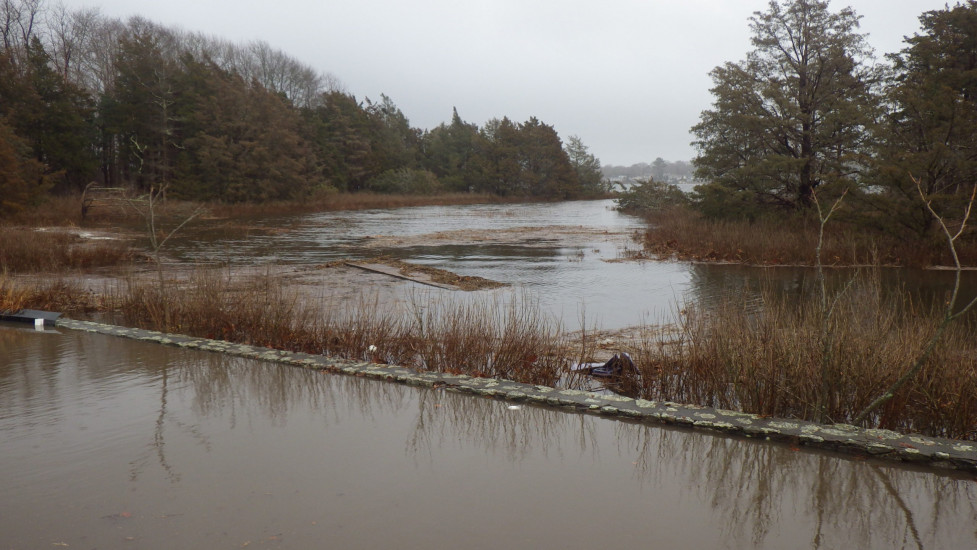
Comments: I tried entering the preserve wearing 16" tall rubber boots, but stopped when the depth got to 12" and was still increasing. There was also a strong current crosswise on the trail, which was very concerning.
Coastal Structures
Specific Damage:
- Damaged stairs/walkovers
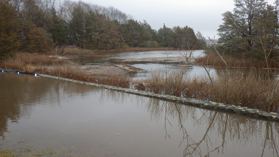
Comments: The preserve had a long trail bridge in the marsh, parallel to Rt. 114, which can be over-topped at king tides. It appears that it has finally been washed out and is visible floating in the middle of two of the photos.
Natural Resources
Current Response
Response:
- None
You must be logged in to post a comment.