Providence, RI
Mount Pleasant
Storm Reporter Report
Damage Reported
User Submitted Data
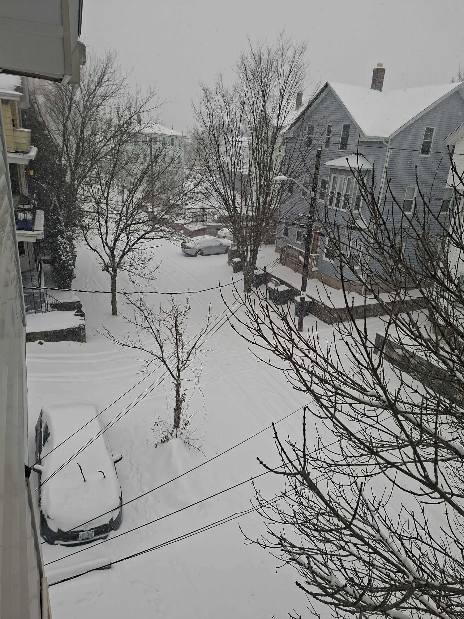
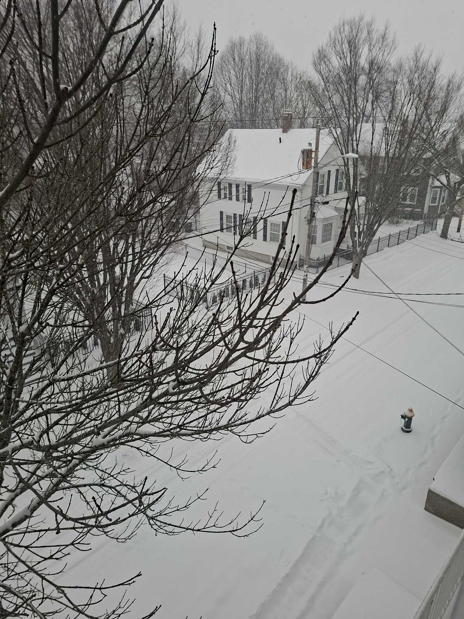
Roads
Specific road: Wintrop av providence Rl 02908
Specific Damage:
- Impacted, but passable
Marinas and Harbors
Buildings
Hazardous Materials
Beach
Imapacts Reported: Y
Coastal Structures
Natural Resources
Current Response
Response:
- Road clearing
Tidal Overview
![]() 1 hours 8 minutes after high tide
1 hours 8 minutes after high tide
Data from Providence, State Pier no.1 (3.3 miles away)
Water Level (at time of report): 1:56 pm, 3.3' MLLW
High Tide (Predicted): 12:47 pm, 3.9' MLLW
High Tide (Observed): 12:48 pm, 3.5' MLLW
Loading NOAA Tide Data…
■ Observed
■ Predicted water level
⬤ Report time
Weather Overview
Wind Speed: 13.3 MPH
Wind Direction: NNE (25°)
Temperature: 9℉
Rainfall (Calendar Day): 0.045"
Rainfall (Past 24 Hours): 0.08"
You must be logged in to post a comment.
No an limpiado la nieve