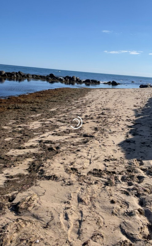
Photo description: Beach with lots of seaweed settled on beach causing impacts on bird species.
Coastal resources in/directly adjacent to project footprint:
- beach (sandy)
- beach (mixed sediment)
Project elevation:
- between MHW and mean low water (MLW)
Coastal infrastructure present at site:
- bulkhead/seawall
Site stability:
- unknown
Vegetative cover of project area:
- sparse
Dominant vegetative type within project area: submerged aquatic vegetation (e.g., eelgrass)
Displaced/unanchored and degraded project materials:
- none
Human impacts at project site:
- runoff
- foot traffic
Marine-related impacts:
- crabs
- marine debris
- storm damage
You must be logged in to post a comment.