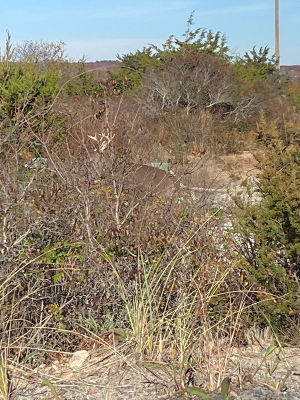
Photo description: Deer near place with lots of garbage could be very impactful on health of population.
Coastal resources in/directly adjacent to project footprint:
- beach (mixed sediment)
- dune
- salt marsh (fronting beach)
- salt marsh (estuarine/protected)
Project elevation:
- above mean high water (MHW)
Coastal infrastructure present at site:
- none
Site stability:
- stable
Vegetative cover of project area:
- moderate
Dominant vegetative type within project area: grasses
Displaced/unanchored and degraded project materials:
- none
Human impacts at project site:
- runoff
- vandalism
- other
Other human impacts: Littering
Marine-related impacts:
- marine debris
You must be logged in to post a comment.