Data from Manahawkin Drawbridge (0.4 miles away) All heights shown relative to Mean Lower Low Water (MLLW): the daily low tide level averaged over a 19-year period.
High Tide (Predicted): 3:36 pm, 1.2'
■ Observed■ Predicted water level⬤ Report time
The accuracy of the predicted tides at the photo location may vary depending on distance from the nearest tide station and due to wind, rain, and other short-term meteorological events.
1 Comment. Leave new
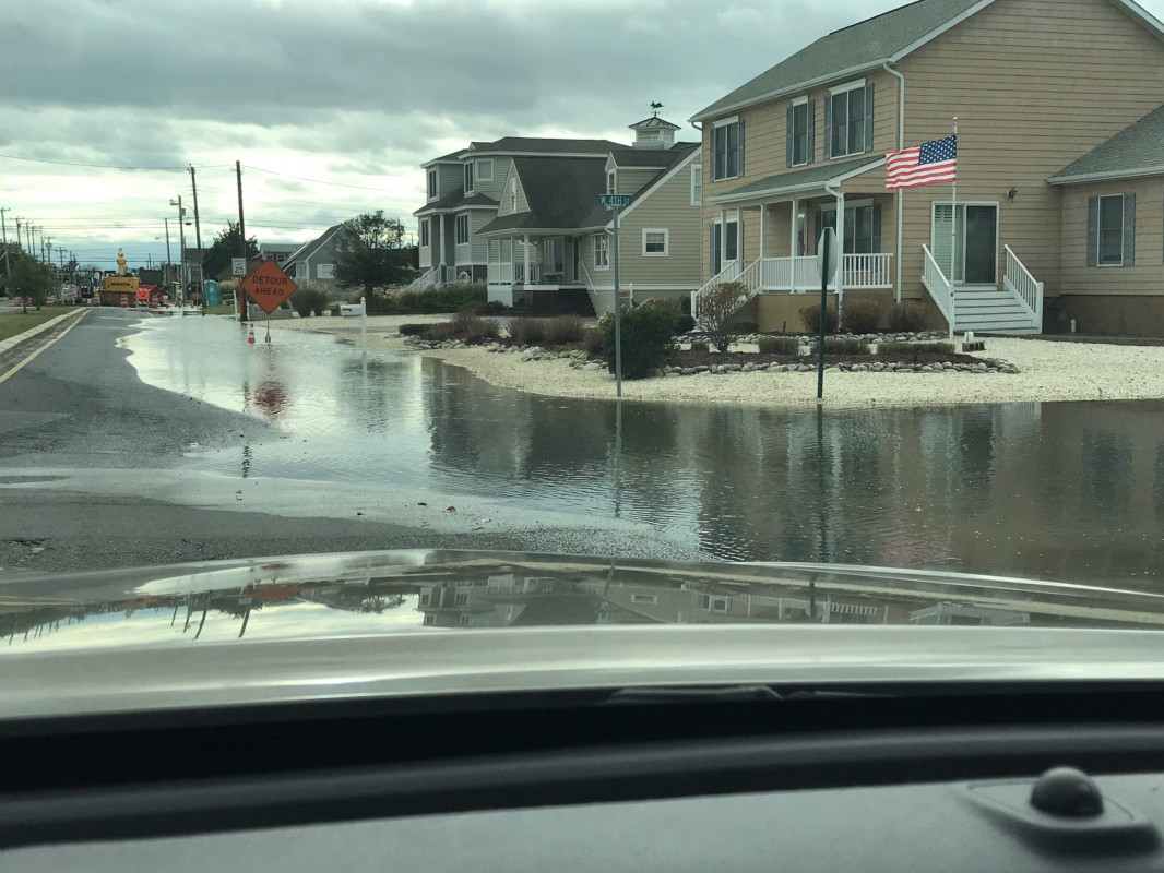
This was at the 2.8 Foot level on the Stevens Flood Prediction System
To see a graphic representation of the flooding go to
https://hudson.dl.stevens-tech.edu/sfas/d/index.shtml?station=U226
Enter the date that you want