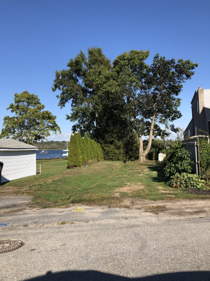
Photo description: Showing the erosion happening on the end of Riverview and Butterworth Ave. A deep channel has been dug presumably to drain storm water off of adjacent properties. I better design can help filter this rather than a deep ditch.
Coastal resources in/directly adjacent to project footprint:
- salt marsh (estuarine/protected)
- intertidal (mud)
Project elevation:
- below MLW
Coastal infrastructure present at site:
- multi-use path or road
Site stability:
- unknown
Vegetative cover of project area:
- dense
Dominant vegetative type within project area: grasses
Displaced/unanchored and degraded project materials:
- none
Human impacts at project site:
- runoff
- foot traffic
Marine-related impacts:
- wrack
- storm damage
You must be logged in to post a comment.
"Identified as a a site that a wide drainage swell could be installed and installation of check damns."