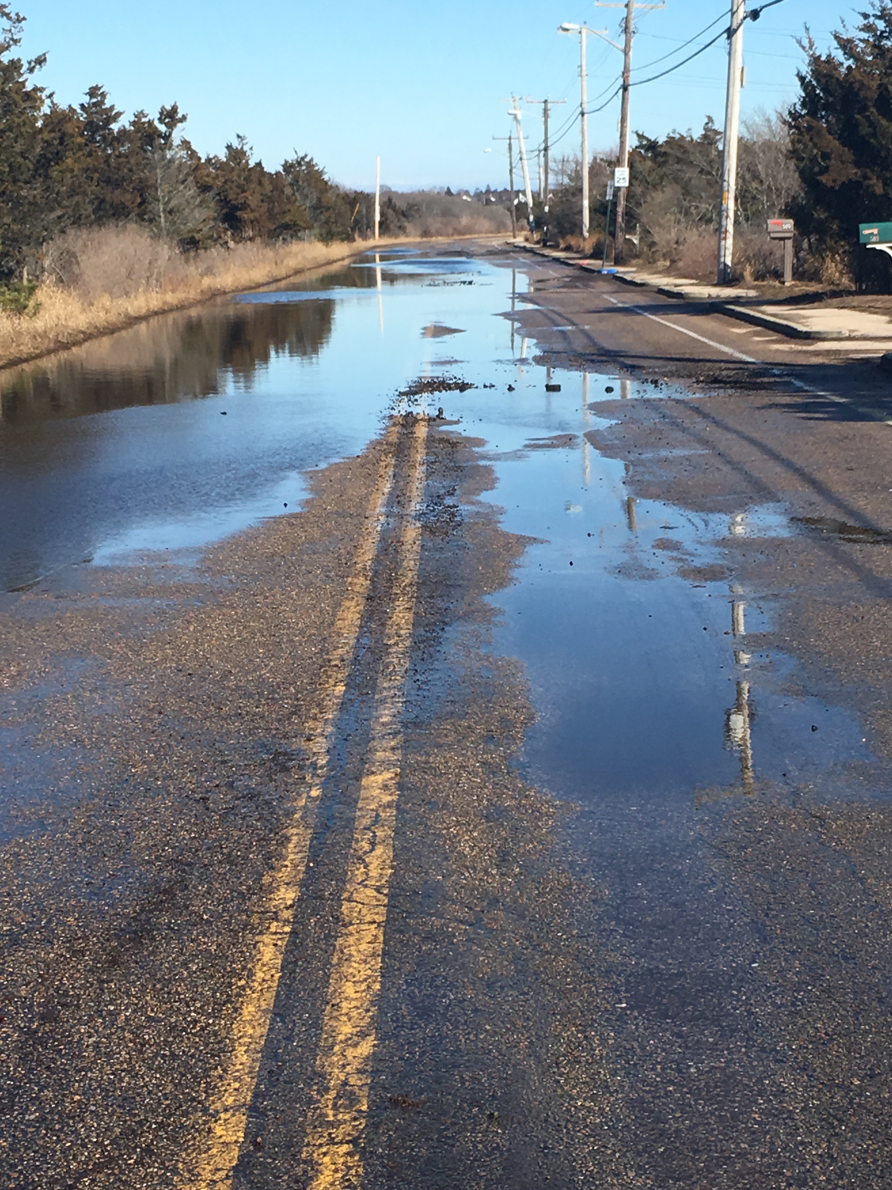
Westerly, RI
Atlantic Ave
Storm Reporter Report
Damage Reported
User Submitted Data
Roads
Street/Road: Unspecified
Specific Damage:
- Impassable (flood water)
- Impassable (washed out)
- Impassable (other)
Specific road: Huge potholes in road
Marinas and Harbors
Buildings
Hazardous Materials
Beach
Coastal Structures
Foot/Cycling Paths
Natural Resources
Specific Damage:
- Wrack on wetlands
Current Response
Response:
- None
Tidal Overview
![]() 2 hours 57 minutes after high tide
2 hours 57 minutes after high tide
Data from Weekapaug Point, Block Island Sound (0.9 miles away)
High Tide (Predicted): 11:26 am, 2.5' MLLW
Loading NOAA Tide Data…
■ Observed
■ Predicted water level
⬤ Report time
Weather Overview
Wind Speed: 12.7 MPH
Wind Direction: SE (139°)
Temperature: 42℉
Rainfall (Calendar Day): 0"
Rainfall (Past 24 Hours): 0"
You must be logged in to post a comment.