Newport, RI
Hazard Rd
King Tide Report
Tidal Overview
![]() 0 hours 50 minutes after high tide
0 hours 50 minutes after high tide
Data from NEWPORT (3 miles away)
Water Level (at time of report): 8:52 pm, 5.4' MLLW
High Tide (Predicted): 8:02 pm, 4.9' MLLW
Loading NOAA Tide Data…
■ Observed
■ Predicted water level
⬤ Report time
Weather Overview
Wind Speed: 18.3 MPH
Wind Direction: S (190°)
Temperature: 66℉
Rainfall (Calendar Day): 0"
Rainfall (Past 24 Hours): 0"
You must be logged in to post a comment.
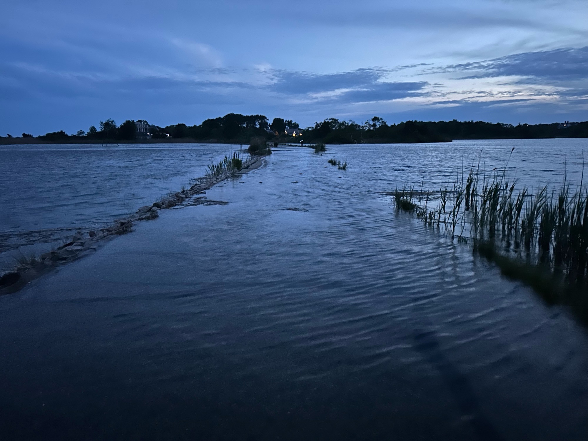
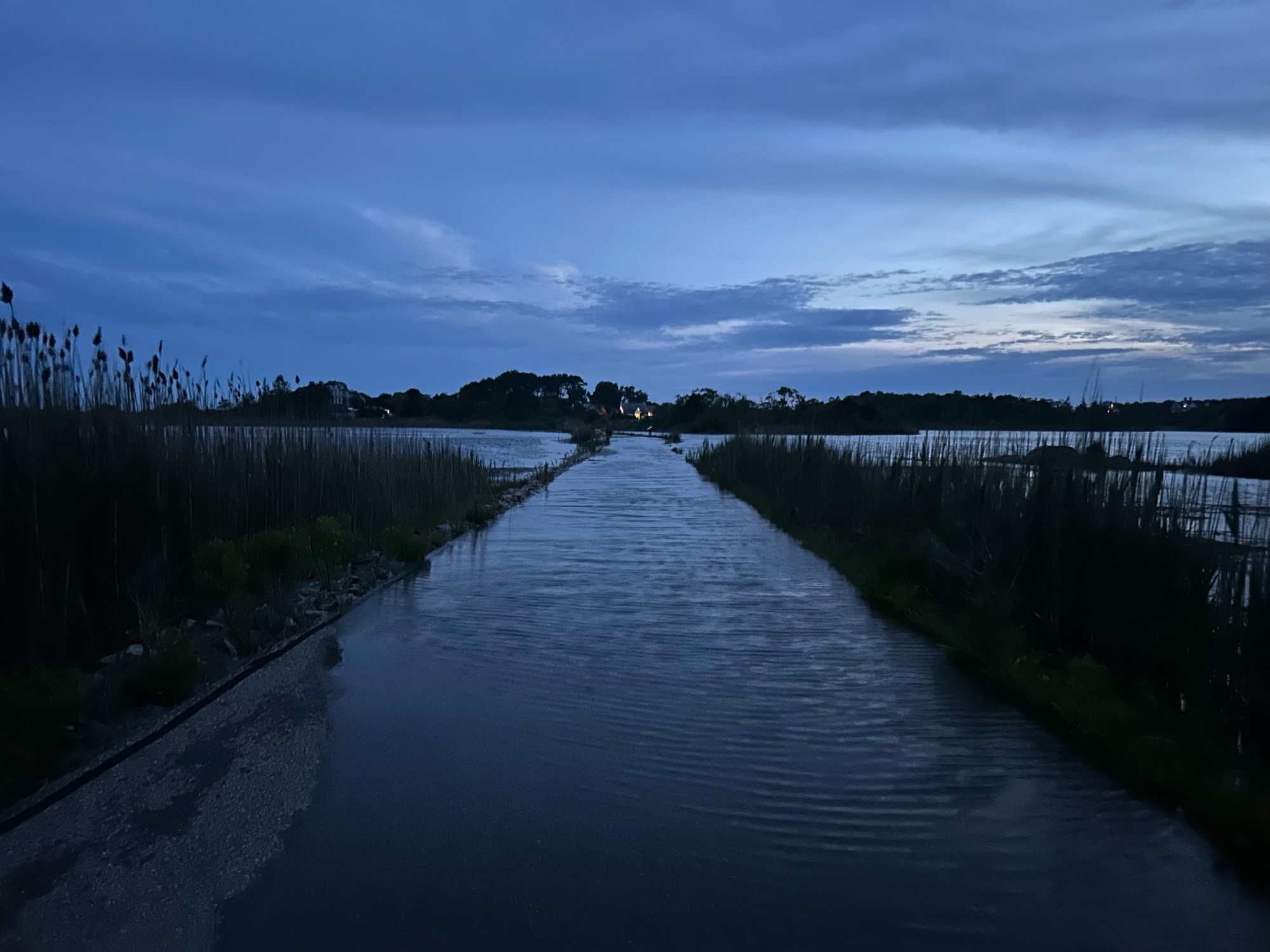
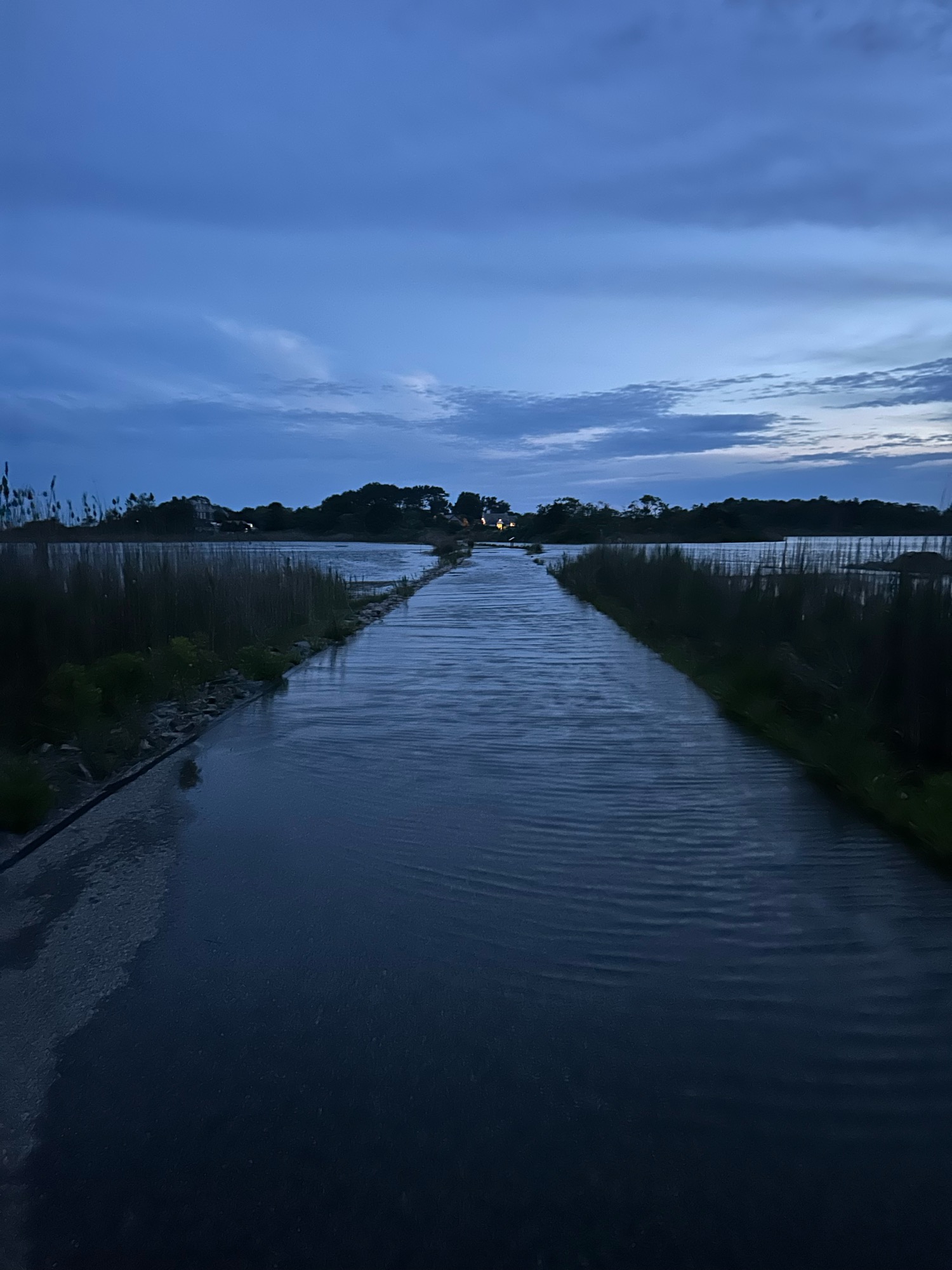
The entire stretch of Hazard Rd from the north gate looking south until the road bends is now flooded