
Infrastructure
Erosion: Mild
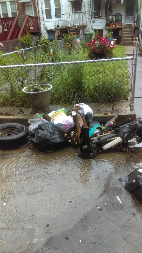
Street/Road:
- flood-water
Drainage
Storm Drain Overflow: overflow
Overflowing: Unspecified
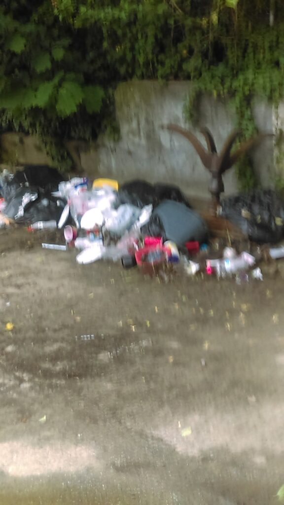
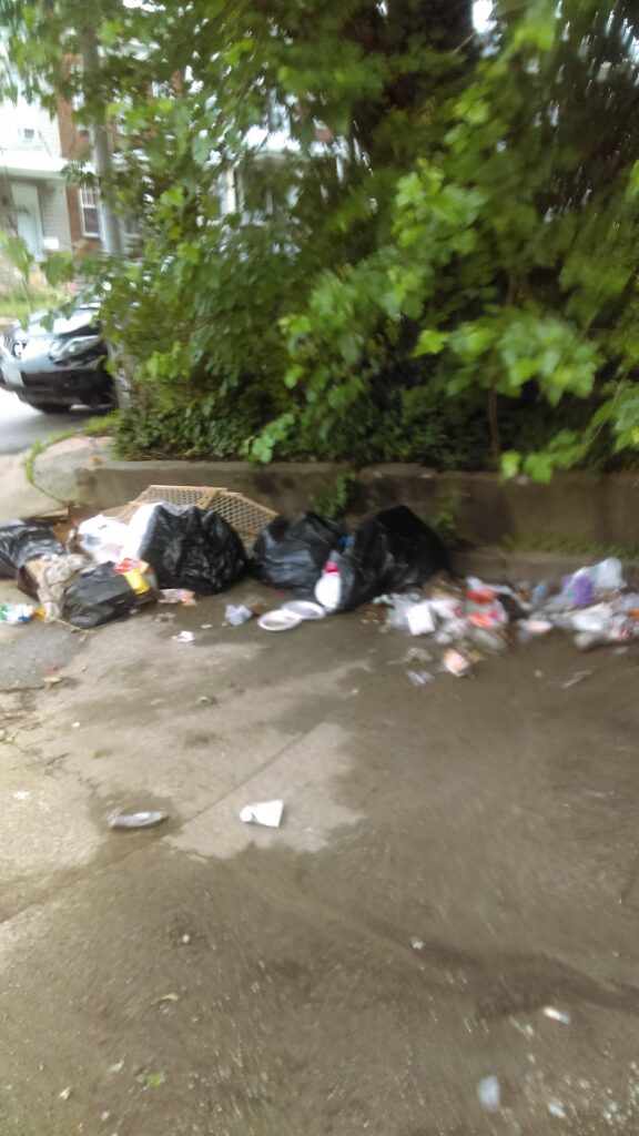
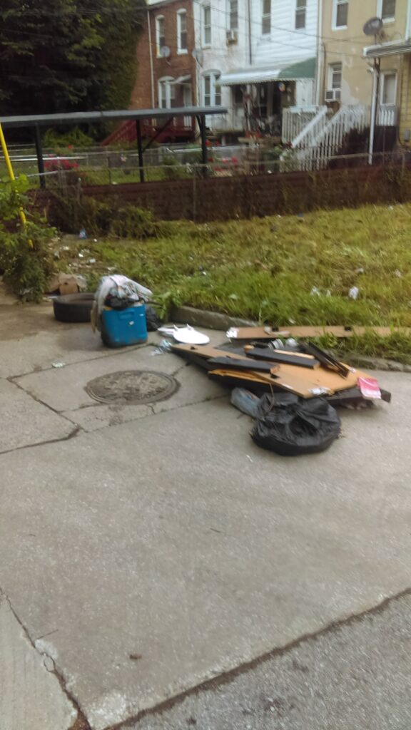
Debris
Debris/Trash: Present
Buildings
Impacts to Buildings: Y
Street: 1700 N Dukeland & Presbury
Specific Damage: Water flow around or under buildings
Cost incurred?: Yes
Est. cost ($): 1000
You must be logged in to post a comment.
"Per houshold"