Congress Rd
Barrington, RI
Storm Reporter Report
by Bill Kirkpatrick
12/24/2022 | 10:17 am
Damage Reported

Roads
Street/Road: Unspecified
Marinas and Harbors
Buildings
Hazardous Materials
Beach
State: Y
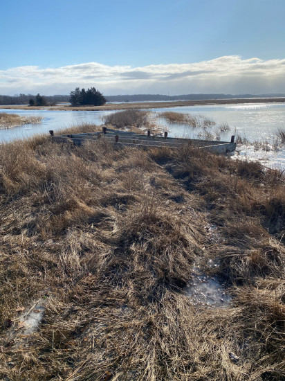
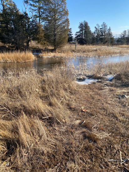
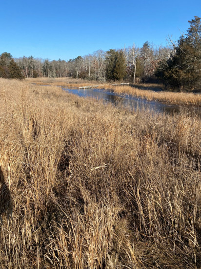
Comments: These images capture the impact of the recent storm on the preserve which is located between Sowams Rd. and the Palmer River. One photo shows a large platform, maybe part of a dock, that was pushed up on the marsh. Another shows a bridge washed upstream, and the location of that bridge before the storm.
Coastal Structures
Natural Resources
Current Response
You must be logged in to post a comment.