"The reeds have been cut back along the road. The stream that passes under the road is pushing through but two problems result: the water is eroding the roadway and the blockage has forced standing water into the woods almost to Greenwood. In not to distant a future, the floodwaters will be entering Greenwood at the dirt road instead of near Lakeshore as they do now."
Photo Tag:
River
Marsh
01/14/2023 | 4:15 pm
Tidal Overview
3 hours 53 minutes after high tide
Data from Matawan Creek, Route 35 bridge (1.2 miles away) All heights shown relative to Mean Lower Low Water (MLLW): the daily low tide level averaged over a 19-year period.
High Tide (Predicted): 12:22 pm, 4.3'
■ Observed■ Predicted water level⬤ Report time
The accuracy of the predicted tides at the photo location may vary depending on distance from the nearest tide station and due to wind, rain, and other short-term meteorological events.
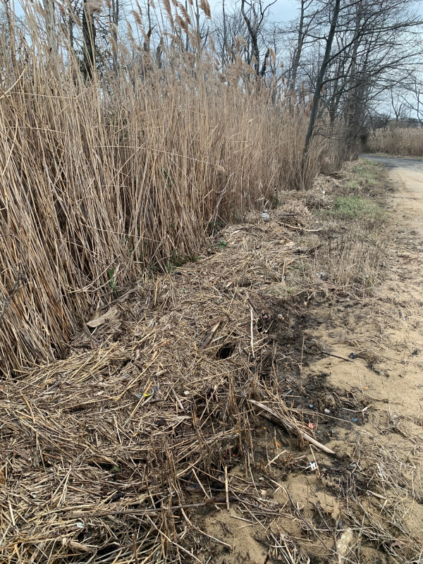
"The reeds have been cut back along the road. The stream that passes under the road is pushing through but two problems result: the water is eroding the roadway and the blockage has forced standing water into the woods almost to Greenwood. In not to distant a future, the floodwaters will be entering Greenwood at the dirt road instead of near Lakeshore as they do now."