Newport East

Middletown, RI


Damage Reported


Roads

Street/Road: Unspecified

Specific Damage:

  • Splashover
  • Impassable (overwash)
  • Impassable (other)

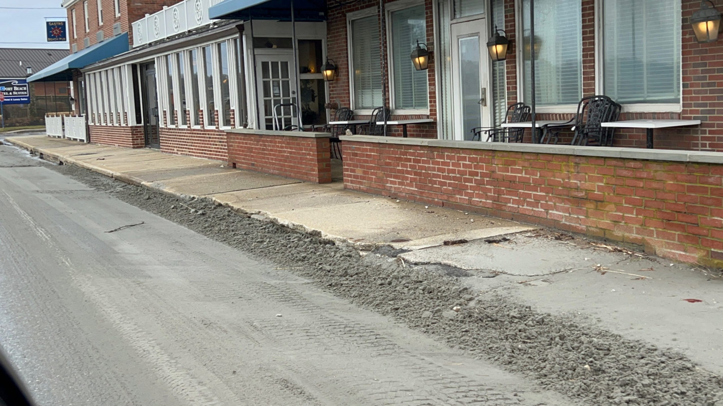
Specific road: Had been flooded. Photo of sand residue lefty behind.

Marinas and Harbors
Buildings
Hazardous Materials
Beach

State: Accessible

Coastal Structures
Natural Resources
Current Response

01/17/2022 | 11:42 am

Tidal Overview

4 hours 18 minutes after high tide

Data from NEWPORT (2.5 miles away)

Water Level (at time of report): 11:42 am, 2.6'

High Tide (Predicted): 7:18 am, 3.4'

High Tide (Observed): 7:24 am, 6.2'

Observed Predicted water level Report time

Weather Overview

Wind Speed: 17.1 MPH

Wind Direction: SSW (210°)

Temperature: 45℉

Rainfall (Calendar Day): 0"

Rainfall (Past 24 Hours): 1.04"

(Click here for full weather details)


You must be logged in to post a comment.