Narragansett Pier
Narragansett, RI
Storm Reporter Report
by Elle Moore
01/19/2022 | 10:25 am
Damage Reported
Roads
Street/Road: Unspecified
Marinas and Harbors
Specific Damage:
- Damaged piers/docks
Comments: Absorb350 float found across from the pier in the seawall/rocks. One still attached to the pier.
Buildings
Hazardous Materials
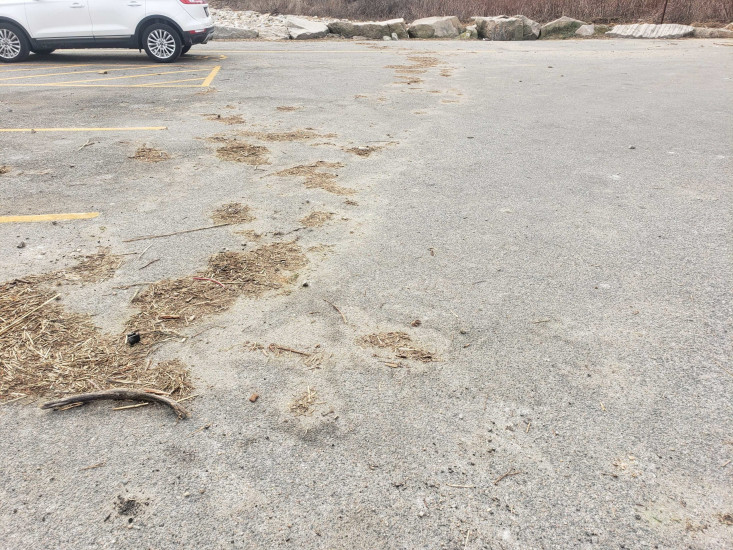
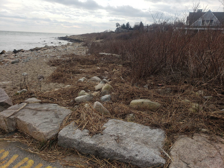
Beach
State: Inaccessible
Comments: Wrack line on the parking lot and into the brush line of the waterfront homes
Coastal Structures
Natural Resources
Current Response
Response:
- None
You must be logged in to post a comment.