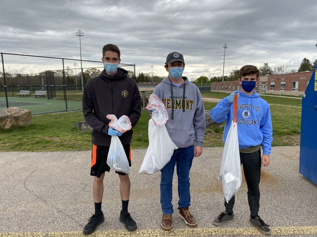
Photo description: Aftermath of a beach cleanup before properly disposing of the trash.
Coastal resources in/directly adjacent to project footprint:
- beach (sandy)
- beach (mixed sediment)
Project elevation:
- between MHW and mean low water (MLW)
Coastal infrastructure present at site:
- bulkhead/seawall
Site stability:
- stable
Vegetative cover of project area:
- none
Dominant vegetative type within project area: none
Displaced/unanchored and degraded project materials:
- rocks
Human impacts at project site:
- foot traffic
- vandalism
- other
Marine-related impacts:
- marine debris
- storm damage
You must be logged in to post a comment.