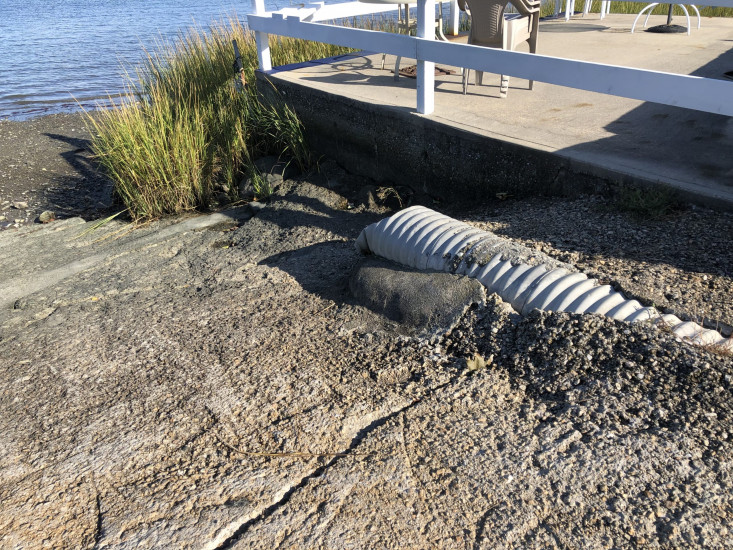

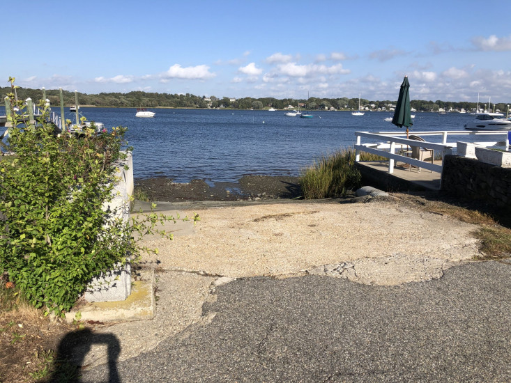
Photo description: Erosion at the end of Franca drive is an old boat ramp. Looking at south bordering property I noticed that the last storm tide likely came up and over their deck and a bulkhead to the north holds the yard in place on the north. Severe erosion from the Franca Drive and from using the site as a boat launch.
Coastal resources in/directly adjacent to project footprint:
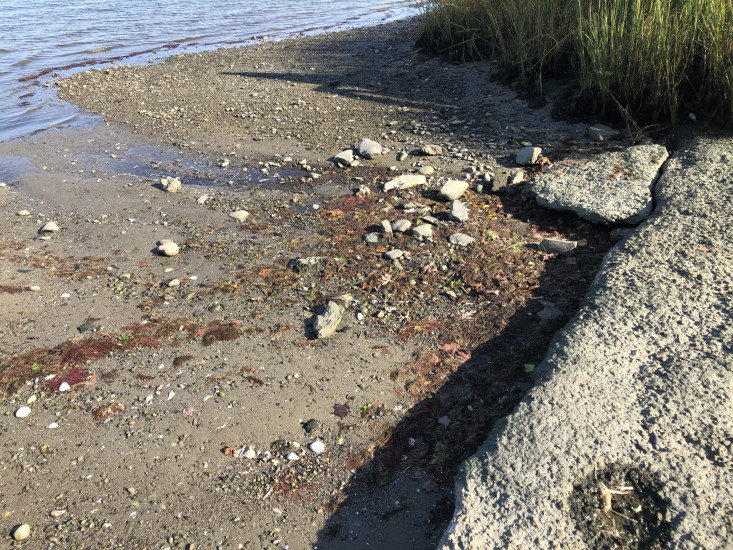
- intertidal (mud)
Project elevation:
- between MHW and mean low water (MLW)
Coastal infrastructure present at site:
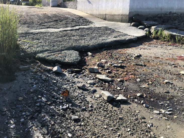
- groin/jetty
- culvert
- multi-use path or road
Site stability:
- eroding
Vegetative cover of project area:
- sparse (<25%)
Dominant vegetative type within project area: none
Human impacts at project site:
- runoff
- foot traffic
- vehicles
Marine-related impacts:
- boat haul-out (motorized and non-motorized)
- wrack
- marine debris
- storm damage
1 Comment. Leave new
Thanks for sharing this! We will share it with the Town Planner.