2 hours 29 minutes before high tide
Data from Solomons Island (22.7 miles away)
Water Level (at time of report): 9:55 am, 1.8'
(NWS Flood Status: Not defined)
High Tide (Predicted): 11:57 am, 1.5'
High Tide (Observed): 12:24 pm, 2.1'
(Click here for full tide details from NOAA Tides & Currents)
Wind Speed: 9.2 MPH
Wind Direction: SW (233°)
Temperature: 78℉
Rainfall (Calendar Day): 0.016"
Rainfall (Past 24 Hours): 2.33"
(Click here for full weather details)
Data from WESTERN BRANCH AT UPPER MARLBORO, MD (18.5 miles away)
Water level: 6.08' (NWS Flood Status: Not defined)
(Click here for full riverine details from USGS)
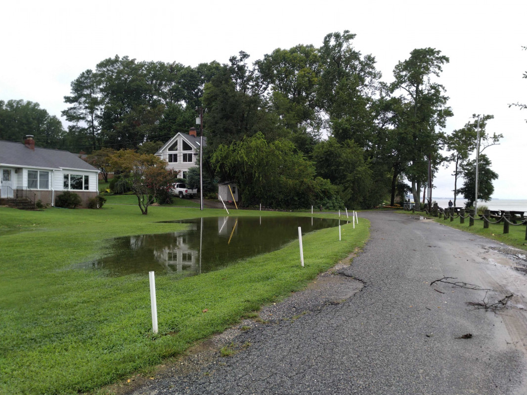


"After more than 3 inches of rain."