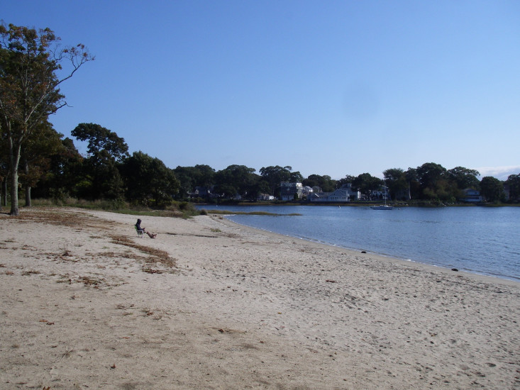

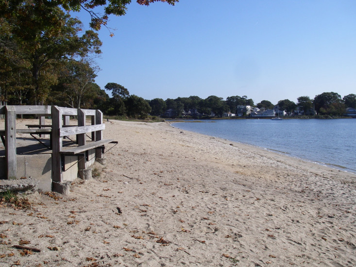
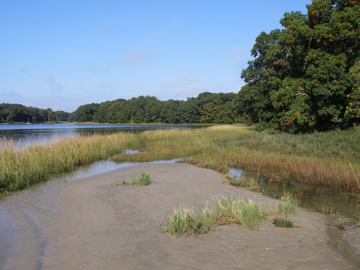
Coastal resources in/directly adjacent to project footprint:
- beach (sandy)
- salt marsh (estuarine/protected)
Project elevation:
- above mean high water (MHW)
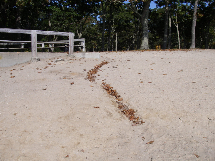
Coastal infrastructure present at site:
- other
Type of other obstruction: pavilion
Site stability:
- stable
Vegetative cover of project area:
- none
Dominant vegetative type within project area: none
Displaced/unanchored and degraded project materials:
- none
Human impacts at project site:
- runoff
You must be logged in to post a comment.
"mycoast test for SAID project"