9a219a3901f127494c589d8c592821f8
9a219a3901f127494c589d8c592821f81
9a219a3901f127494c589d8c592821f82
9a219a3901f127494c589d8c592821f83
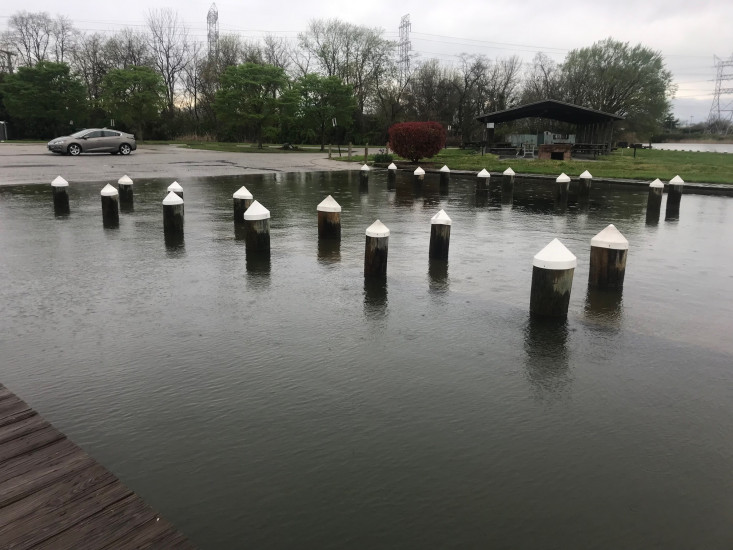
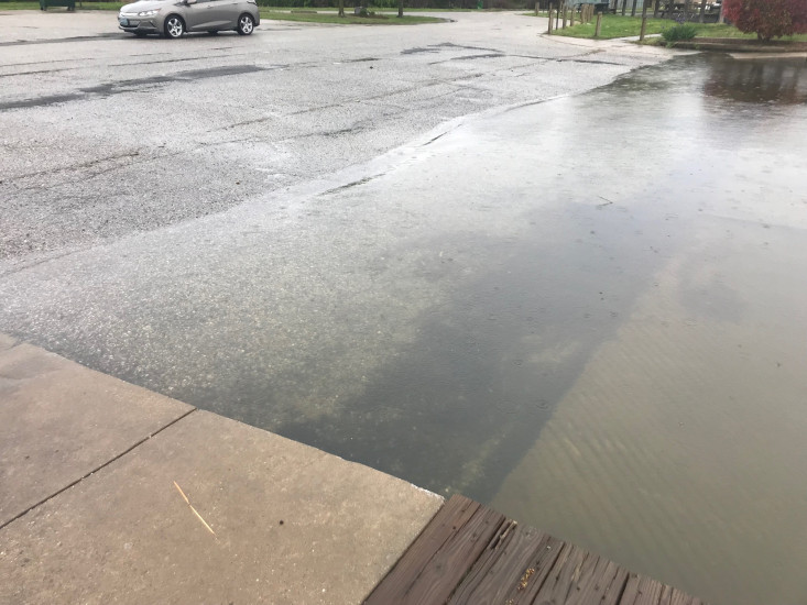
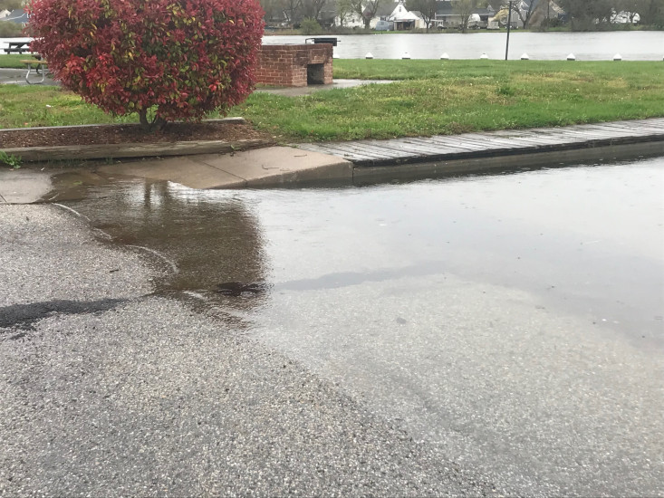
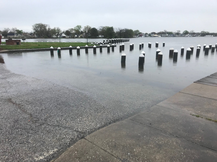
0 hours 28 minutes after high tide
Data from Baltimore, Fort McHenry (4.4 miles away)
Water Level (at time of report): 10:40 am, 4'
(NWS Flood Status: Flood)
High Tide (Predicted): 10:12 am, 1.7'
(Click here for full tide details from NOAA Tides & Currents)
Wind Speed: 14.4 MPH
Wind Direction: W (267°)
Temperature: 59℉
Rainfall (Calendar Day): 0.014"
Rainfall (Past 24 Hours): 0.12"
(Click here for full weather details)
"Submitted by NeighborSpace of Baltimore County as part of the Community Climate Resilience Project: https://www.neighborspacebaltimorecounty.org/projects/turner-station-climate-resilience/."