York County
York, ME
Storm Report
User Submitted Data
Roads
Street/Road: Unspecified
Marinas and Harbors
Buildings
Hazardous Materials
Beach
Coastal Structures
Specific Damage:
- Splashover
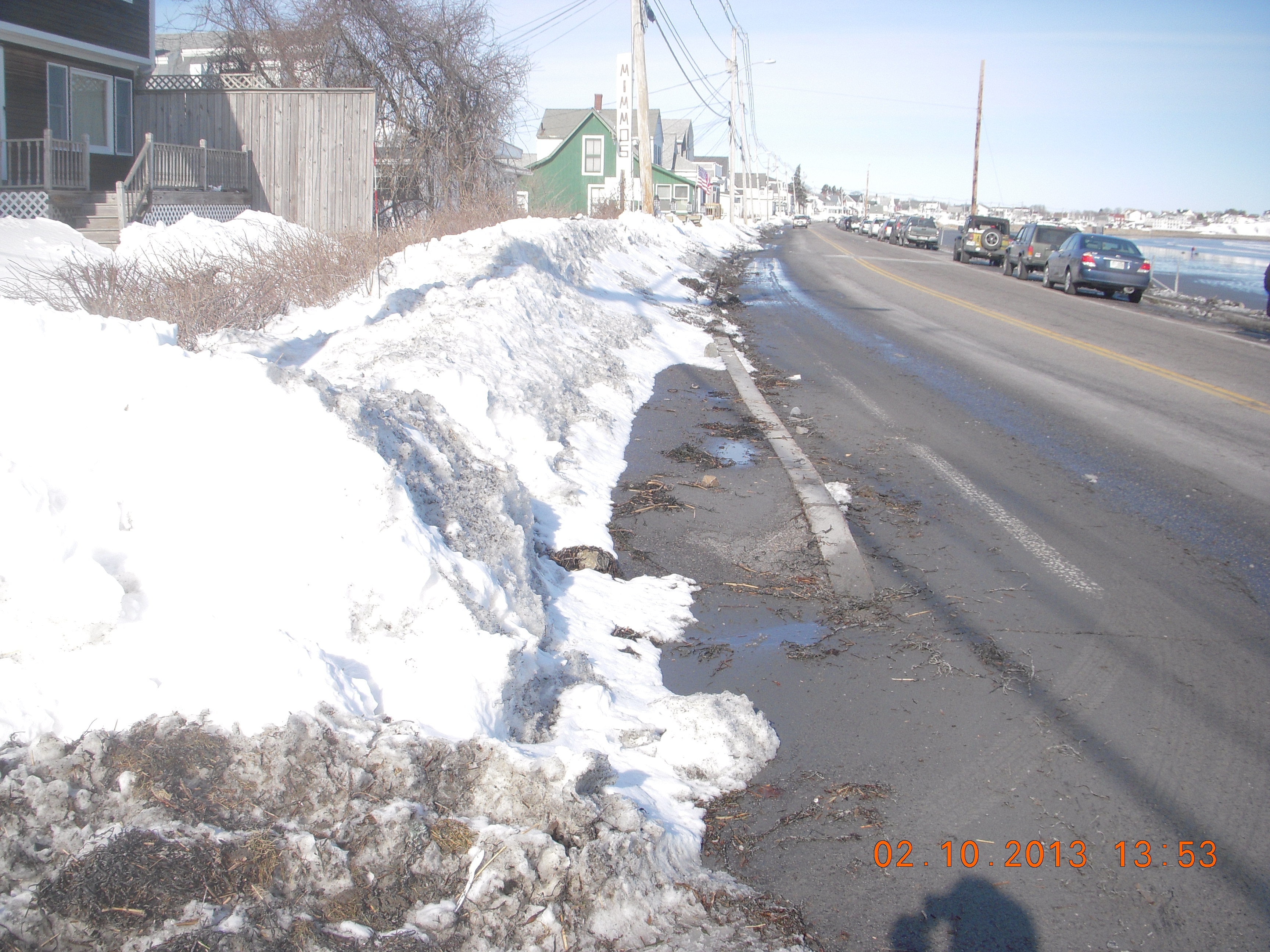
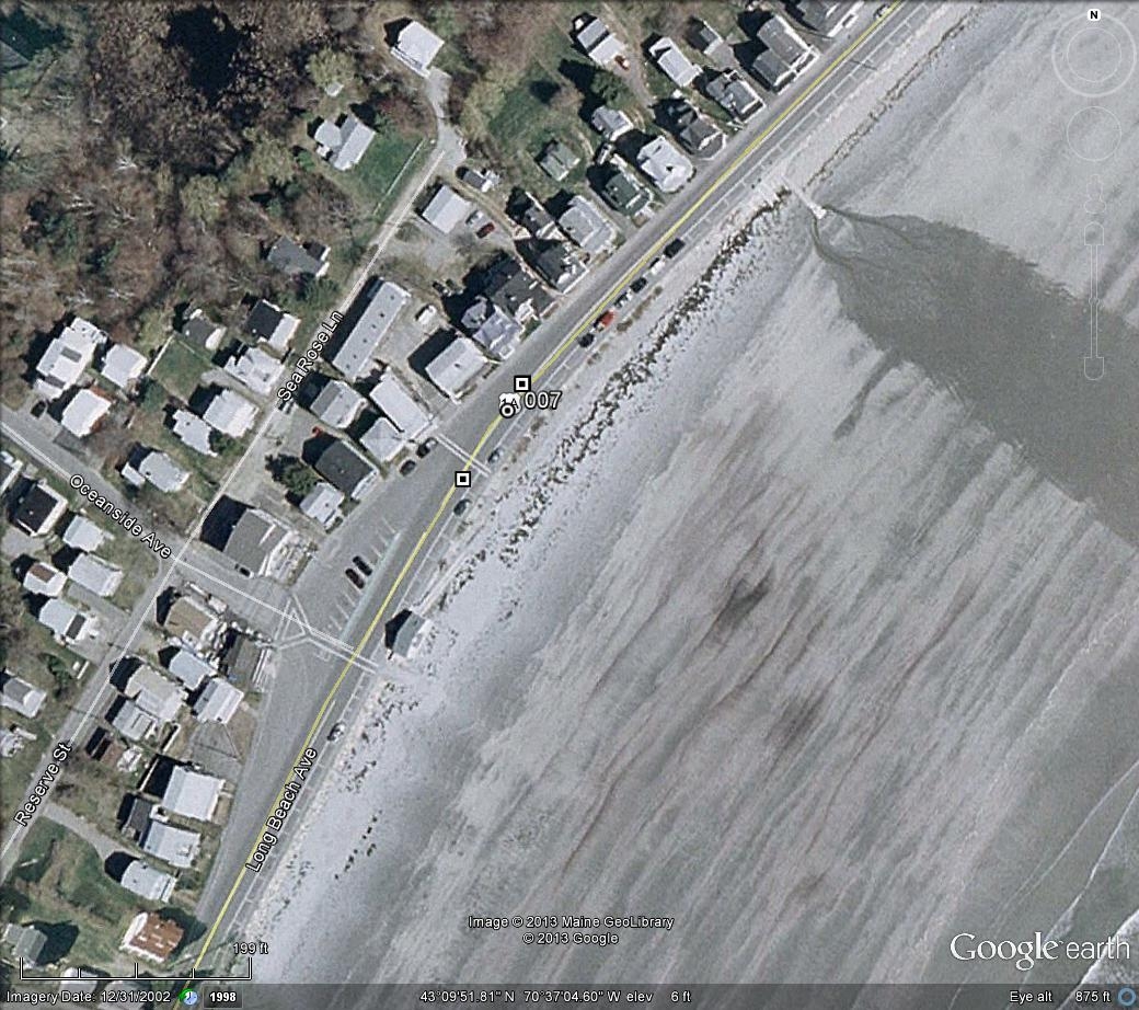
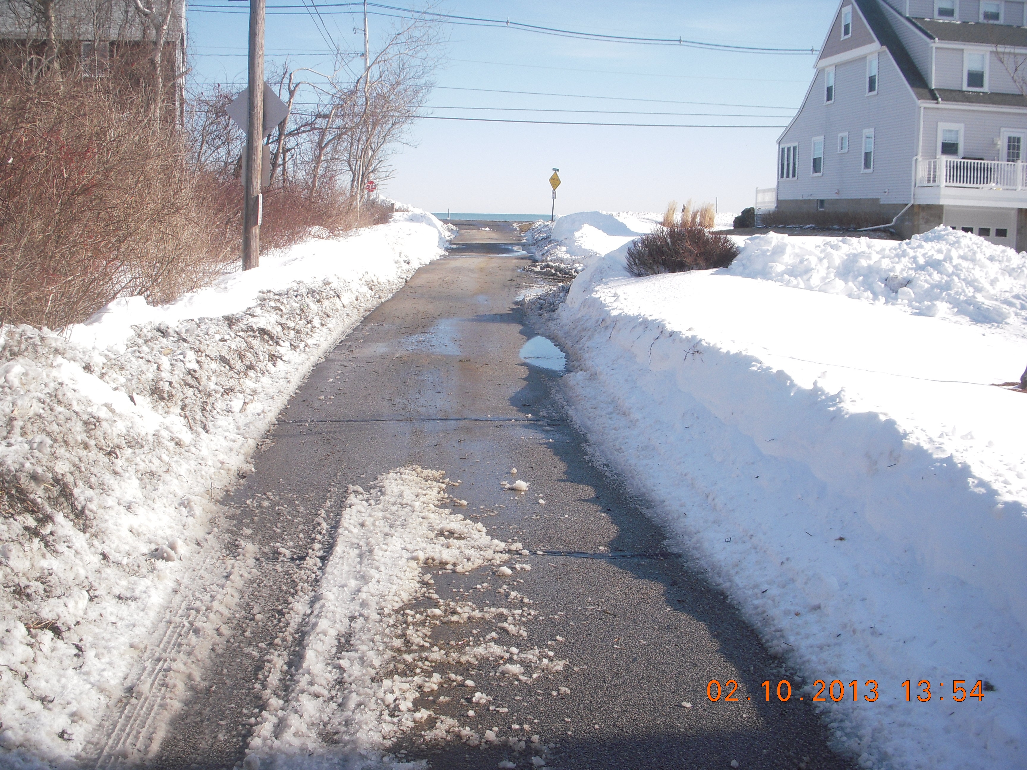
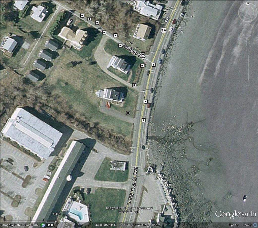
Comments: The seaward fixes should align with the sidewalk - so all positions should shift about 10 feet seaward. It appears snow impeded or masked washover into many yards. The low-lying Juniper Rd was effectively an washover channel and carried sand and seaweed farther inland than in most locations.
Foot/Cycling Paths
Natural Resources
Specific Damage:
- Overwashed beach/dune
Comments: Photos along US Route 1A, Long Beach Avenue in York, Maine. Report by s. M. Dickson, Maine Geological Survey.
Current Response
Response:
- Road clearing
Tidal Overview
![]() 3 hours 5 minutes after high tide
3 hours 5 minutes after high tide
Data from Fort Point (8.5 miles away)
Water Level (at time of report): 1:53 pm, 5.1' MLLW
High Tide (Predicted): 10:56 am, 10.7' MLLW
High Tide (Observed): 10:48 am, 10.5' MLLW
Loading NOAA Tide Data…
Weather Overview
Wind Speed: 5.1 MPH
Wind Direction: NW (309°)
Temperature: 35℉
Rainfall (Calendar Day): 0"
Rainfall (Past 24 Hours): 0"
Report by S. M. Dickson, Maine Geological Survey