Roads
Street/Road: Unspecified
Marinas and Harbors
Buildings
Hazardous Materials
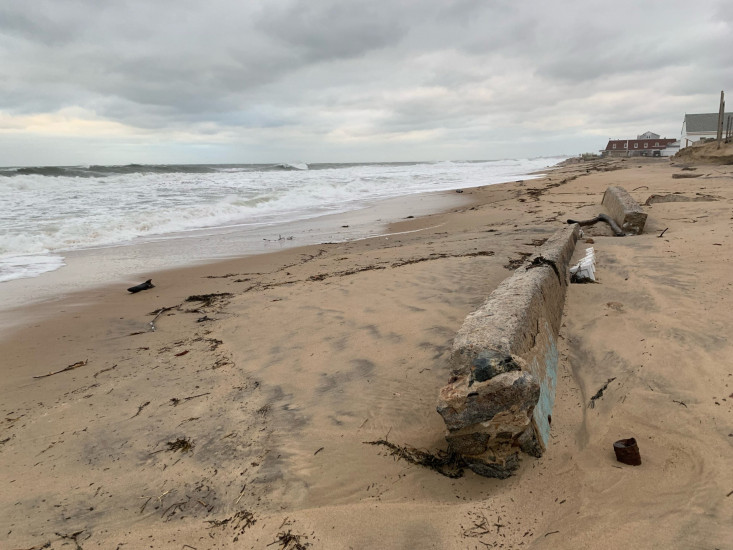
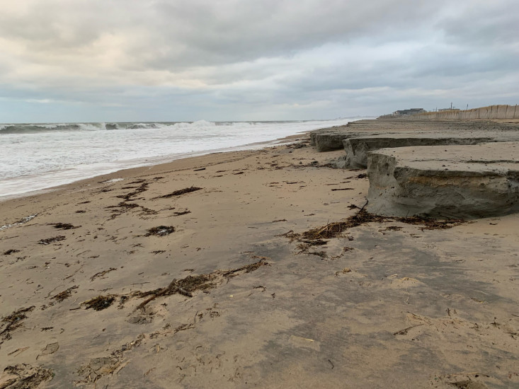
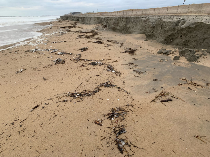
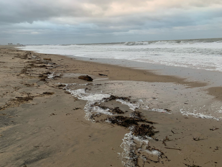
Beach
State: Inaccessible
Coastal Structures
Specific Damage:
- Damaged stairs/walkovers
- Leaning bulkheads/seawalls
- Collapsed bulkheads/seawalls
Natural Resources
Specific Damage:
- Damaged sand fencing
- Eroded beach
- Eroded dune
- Overwashed beach/dune
Comments: Beach and dune scour, lots of debris on the beach, rising afternoon tide
Current Response
You must be logged in to post a comment.