Dutchess County, NY
Norrie Point Way

Flood Watch Report
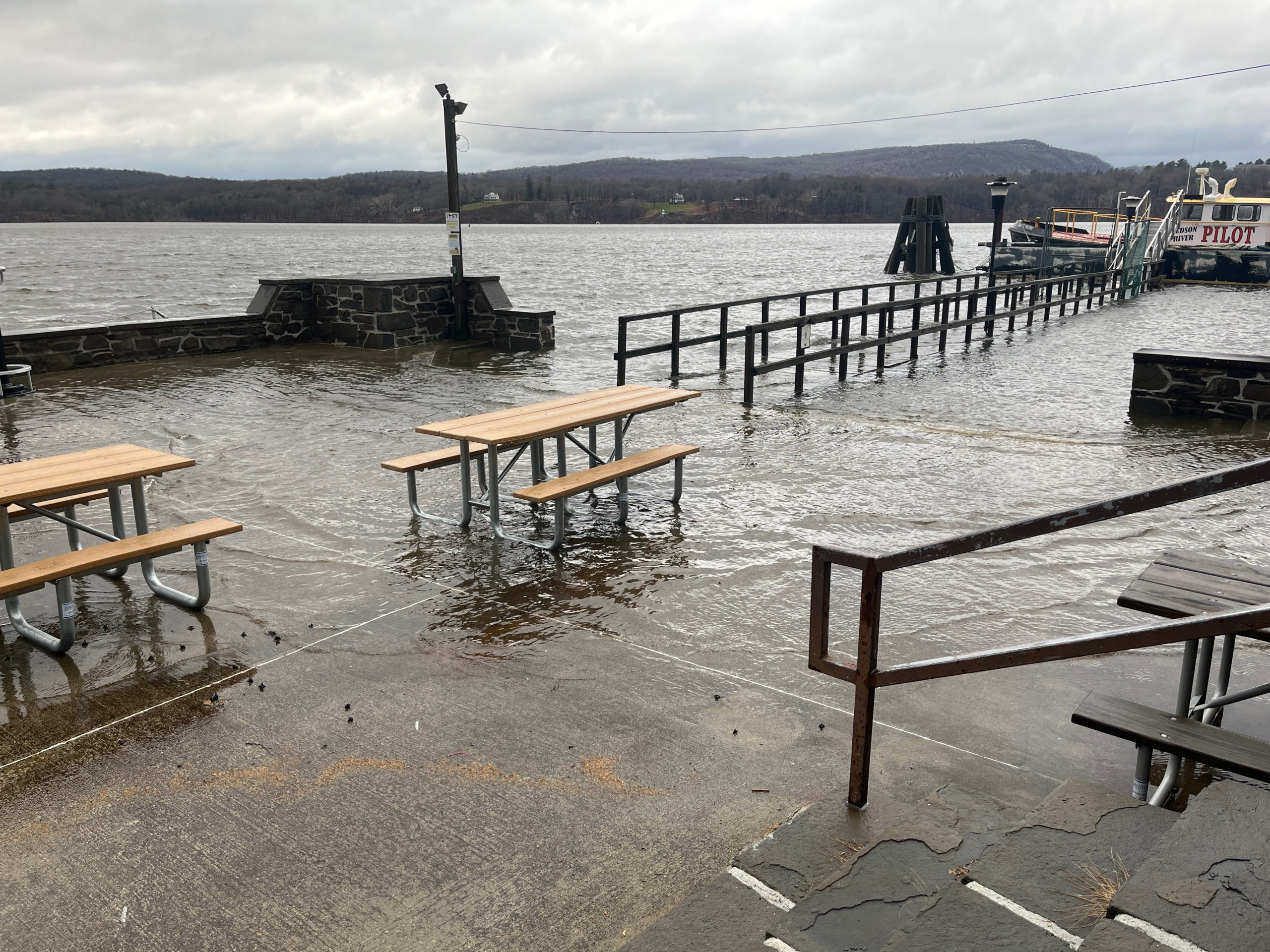
User Submitted Data
Cause of Flooding:
- Overland flooding (Nearby waterbody)
What is Flooded:
- Structures
Estimated water depth: 3 inches
You must be logged in to post a comment.

Cause of Flooding:
What is Flooded:
Estimated water depth: 3 inches
Expecting higher water because there are two more hours until high tide