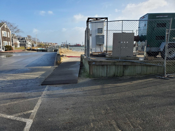
Nantucket, MA (Harbor View way)

Nantucket County

Impacts Reported


Roads

Street/Road: Unspecified

Specific Impacts:

  • Splashover

Comments: Raod starting to fill about 1 hour and 30 mins before high tide
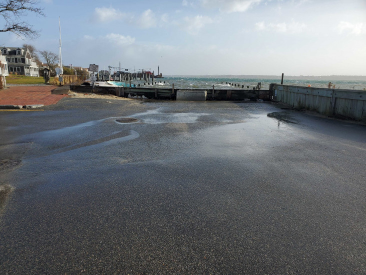
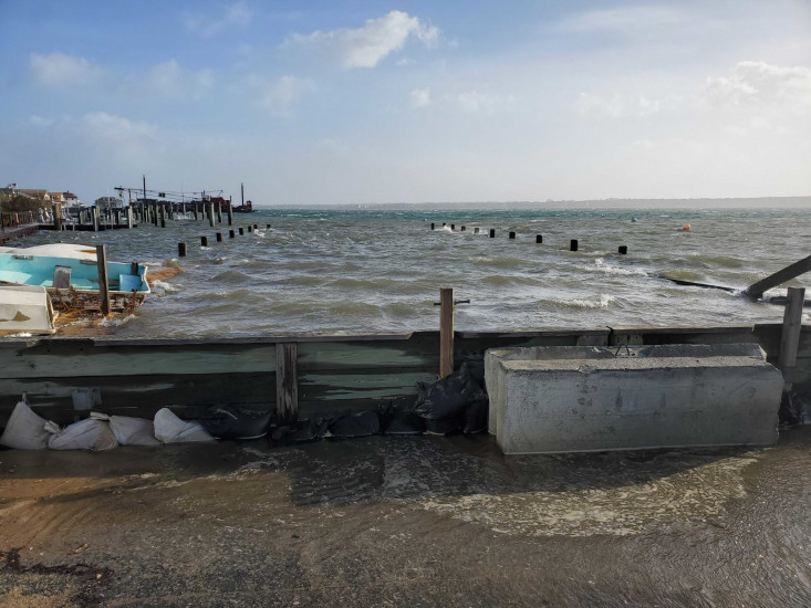
Marinas and Harbors

Comments: Pier closed with wave attenuation gate and also piers submerged

Buildings
Hazardous Materials
Beach

State: Accessible

Coastal Structures
Natural Resources
Current Response

12/23/2022 | 10:01 am

Tidal Overview

1 hours 35 minutes before high tide

Data from NANTUCKET (0.2 miles away)

Water Level (at time of report): 10:01 am, 5.5'

High Tide (Predicted): 11:27 am, 4.2'

High Tide (Observed): 11:36 am, 6'

Observed Predicted water level Report time

Weather Overview

Wind Speed: 31.9 MPH

Wind Direction: SE (140°)

Temperature: 58℉

Rainfall (Calendar Day): 0.001"

Rainfall (Past 24 Hours): 0.05"

(Click here for full weather details)


You must be logged in to post a comment.