
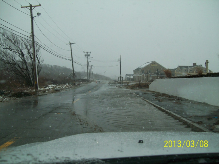
Roads
Street/Road: Unspecified
Specific Impacts:
- Splashover
Marinas and Harbors
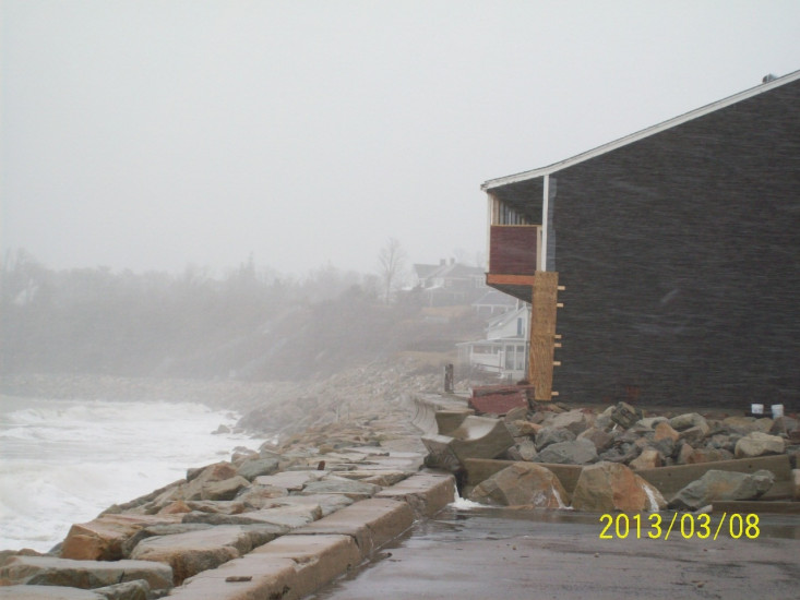
Buildings
Street: Warren Avenue (Rte 3A)
Specific Impacts:
- Damaged walls/roofs
- Damaged windows/sidings
- Water flow around or under buildings
Hazardous Materials
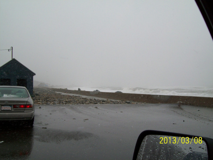
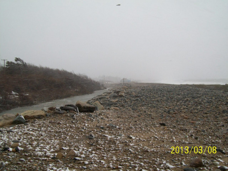
Beach
Natural Resources
Specific Impacts:
- Eroded beach
- Overwashed beach/dune
Current Response
Response:
- None
You must be logged in to post a comment.
"One road lane flooded. Building damage (maybe from previous storm(s). Eel River partially filled wiht sand and cobble - flowing okay."