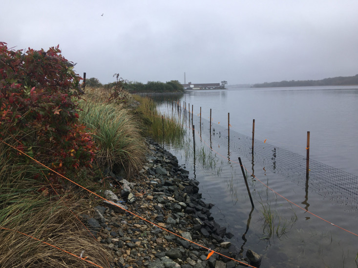
Coastal resources in/directly adjacent to project footprint:
- coastal bank
- salt marsh (estuarine/protected)
- intertidal (sand)
- intertidal (rock)
- tidal river
Project elevation:
- above mean high water (MHW)
- between MHW and mean low water (MLW)
Coastal infrastructure present at site:
- revetment
Site stability:
- unknown
Vegetative cover of project area:
- moderate (25-75%)
Dominant vegetative type within project area: grasses
Displaced/unanchored and degraded project materials:
- none
Human impacts at project site:
- foot traffic
Marine-related impacts:
- wrack
- marine debris
You must be logged in to post a comment.
"EPA intertidal marsh plantings still establishing, appear to be in good shape thus far"